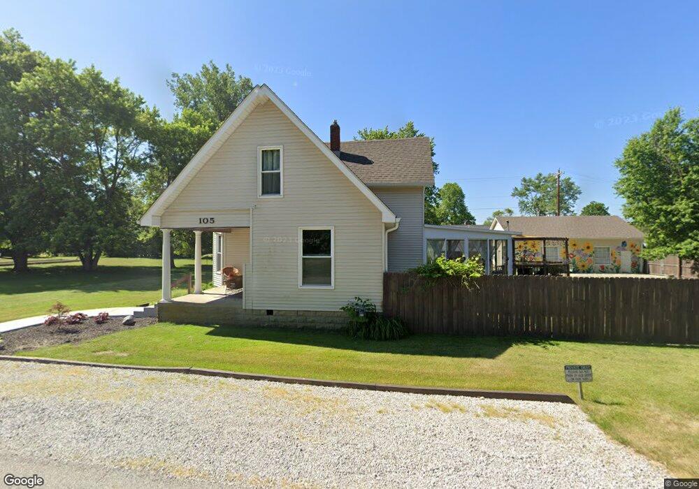
105 Neese St Whitestown, IN 46075
Estimated Value: $293,137 - $348,000
3
Beds
2
Baths
2,128
Sq Ft
$150/Sq Ft
Est. Value
About This Home
This home is located at 105 Neese St, Whitestown, IN 46075 and is currently estimated at $320,034, approximately $150 per square foot. 105 Neese St is a home located in Boone County with nearby schools including Perry Worth Elementary School, Lebanon Middle School, and Lebanon Senior High School.
Ownership History
Date
Name
Owned For
Owner Type
Purchase Details
Closed on
Nov 28, 2017
Sold by
Oden Elizabeth S
Bought by
Leidenfrost Rudy L
Current Estimated Value
Home Financials for this Owner
Home Financials are based on the most recent Mortgage that was taken out on this home.
Original Mortgage
$144,000
Outstanding Balance
$120,761
Interest Rate
3.88%
Mortgage Type
New Conventional
Estimated Equity
$199,273
Purchase Details
Closed on
Oct 7, 2005
Sold by
Hilgedag Elizabeth S
Bought by
Oden Elizabeth S
Home Financials for this Owner
Home Financials are based on the most recent Mortgage that was taken out on this home.
Original Mortgage
$25,000
Interest Rate
6.33%
Mortgage Type
Credit Line Revolving
Create a Home Valuation Report for This Property
The Home Valuation Report is an in-depth analysis detailing your home's value as well as a comparison with similar homes in the area
Home Values in the Area
Average Home Value in this Area
Purchase History
| Date | Buyer | Sale Price | Title Company |
|---|---|---|---|
| Leidenfrost Rudy L | -- | Stewart Title | |
| Oden Elizabeth S | -- | -- |
Source: Public Records
Mortgage History
| Date | Status | Borrower | Loan Amount |
|---|---|---|---|
| Open | Leidenfrost Rudy L | $144,000 | |
| Previous Owner | Oden Elizabeth S | $25,000 |
Source: Public Records
Tax History Compared to Growth
Tax History
| Year | Tax Paid | Tax Assessment Tax Assessment Total Assessment is a certain percentage of the fair market value that is determined by local assessors to be the total taxable value of land and additions on the property. | Land | Improvement |
|---|---|---|---|---|
| 2025 | $2,744 | $254,400 | $10,700 | $243,700 |
| 2024 | $2,744 | $238,900 | $10,700 | $228,200 |
| 2023 | $2,537 | $219,200 | $10,700 | $208,500 |
| 2022 | $2,523 | $206,000 | $10,700 | $195,300 |
| 2021 | $1,833 | $160,700 | $10,700 | $150,000 |
| 2020 | $1,881 | $163,300 | $10,700 | $152,600 |
| 2019 | $1,785 | $156,700 | $10,700 | $146,000 |
| 2018 | $1,649 | $150,100 | $10,700 | $139,400 |
| 2017 | $1,591 | $149,700 | $10,700 | $139,000 |
| 2016 | $1,489 | $138,100 | $10,700 | $127,400 |
| 2014 | $1,209 | $124,400 | $10,700 | $113,700 |
| 2013 | $1,195 | $124,400 | $10,700 | $113,700 |
Source: Public Records
Map
Nearby Homes
- 207 S Buck St
- 307 W Pierce St
- 3374 Paisley Pointe
- Hendricks Plan at Haven at Whitestown
- Waveland Plan at Haven at Whitestown
- Dawson Plan at Haven at Whitestown
- Sutcliffe Plan at Haven at Whitestown
- Hampton Plan at Haven at Whitestown
- Addison Plan at Haven at Whitestown
- Buckner Plan at Haven at Whitestown
- Sheffield Plan at Haven at Whitestown
- Payton Plan at Haven at Whitestown
- 7 Harrison Ave
- 2 Harrison St
- 2892 Maricopa Blvd
- 3347 Churchill Ln
- 6328 Dusty Laurel Dr
- 6091 Green Willow Rd
- 6192 Cascades Dr
- 3460 Limelight Ln