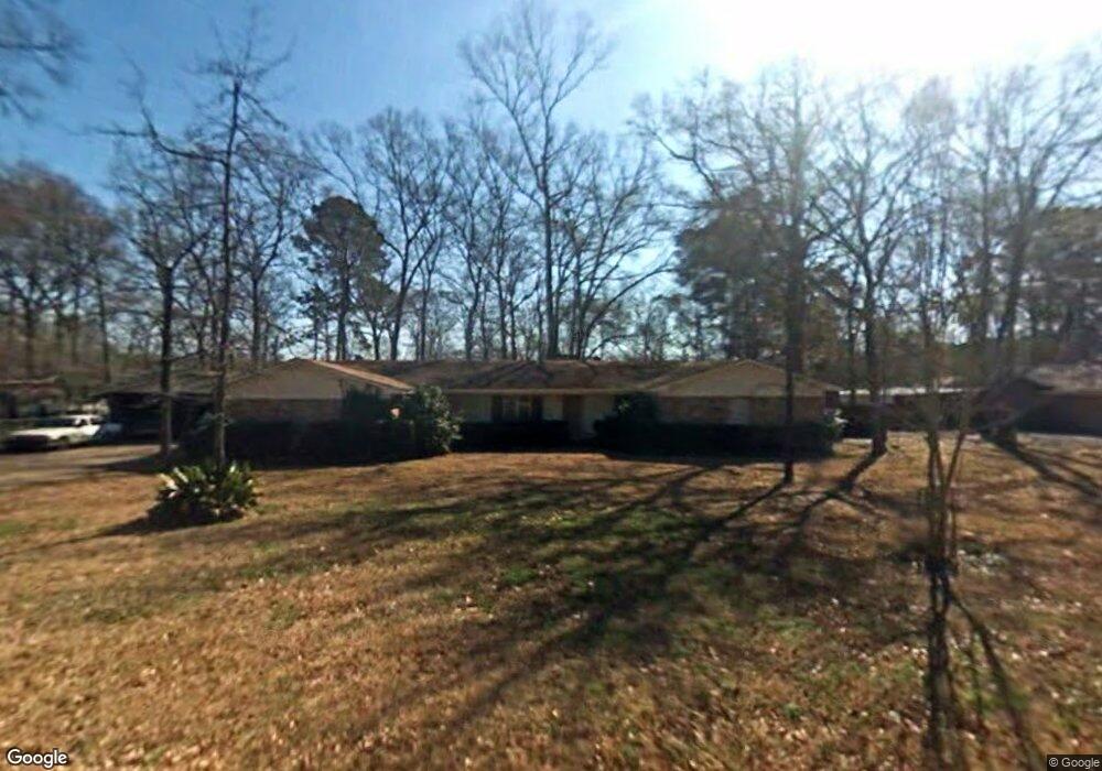
105 Normandy Dr Lufkin, TX 75901
Estimated Value: $279,000 - $332,000
Studio
8
Baths
2,917
Sq Ft
$104/Sq Ft
Est. Value
About This Home
This home is located at 105 Normandy Dr, Lufkin, TX 75901 and is currently estimated at $303,336, approximately $103 per square foot. 105 Normandy Dr is a home located in Angelina County with nearby schools including Slack Elementary School, Burley Primary School, and Lufkin Middle School.
Ownership History
Date
Name
Owned For
Owner Type
Purchase Details
Closed on
Aug 15, 2016
Sold by
Fincher William Winford
Bought by
Howell Fred and Howell Ramona
Current Estimated Value
Home Financials for this Owner
Home Financials are based on the most recent Mortgage that was taken out on this home.
Original Mortgage
$82,400
Outstanding Balance
$37,592
Interest Rate
3.41%
Mortgage Type
Purchase Money Mortgage
Estimated Equity
$265,744
Create a Home Valuation Report for This Property
The Home Valuation Report is an in-depth analysis detailing your home's value as well as a comparison with similar homes in the area
Purchase History
| Date | Buyer | Sale Price | Title Company |
|---|---|---|---|
| Howell Fred | -- | Community Title |
Source: Public Records
Mortgage History
| Date | Status | Borrower | Loan Amount |
|---|---|---|---|
| Open | Howell Fred | $82,400 |
Source: Public Records
Tax History
| Year | Tax Paid | Tax Assessment Tax Assessment Total Assessment is a certain percentage of the fair market value that is determined by local assessors to be the total taxable value of land and additions on the property. | Land | Improvement |
|---|---|---|---|---|
| 2025 | $5,564 | $266,250 | $20,200 | $246,050 |
| 2024 | $5,436 | $260,110 | $20,200 | $239,910 |
| 2023 | $4,726 | $256,030 | $20,200 | $235,830 |
| 2022 | $4,924 | $222,010 | $13,890 | $208,120 |
| 2021 | $4,842 | $203,180 | $13,890 | $189,290 |
| 2020 | $4,391 | $178,680 | $13,890 | $164,790 |
| 2019 | $4,644 | $178,680 | $13,890 | $164,790 |
| 2018 | $3,655 | $174,810 | $13,890 | $160,920 |
| 2017 | $3,655 | $166,020 | $13,890 | $152,130 |
| 2016 | $3,850 | $161,480 | $13,890 | $147,590 |
| 2015 | $3,130 | $161,480 | $13,890 | $147,590 |
| 2014 | $3,130 | $160,920 | $13,890 | $147,030 |
Source: Public Records
Map
Nearby Homes
- lot 1 Leslie Ln
- lot 3 Leslie Ln
- lot 2 Leslie Ln
- R97410 Carrell Rd
- 144 Bridges Dr
- 13.29 acres Joyce Ln
- Hwy 2251 Sayers St
- 4515 Farm-To-market 841
- 0 Farm-To-market 841
- 4311 Farm-To-market 841
- ID 13148 Farm-To-market 841
- TBD Irving Dr
- 3749 Fm 841
- 2209 E Denman Ave
- 35438 Ponderosa Dr
- 1611 Lilac Ave
- 1011 Ponderosa Dr
- 2713 S Medford Dr
- 319 Sandybrook Dr
- 307 Sandybrook Dr
Your Personal Tour Guide
Ask me questions while you tour the home.