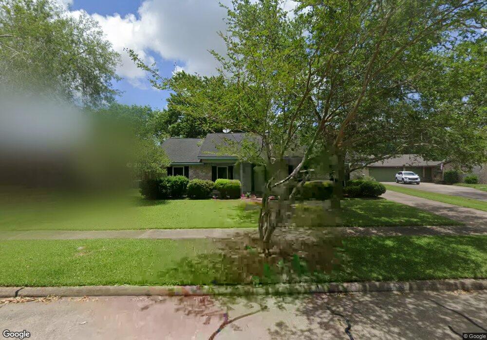
105 Palm Aire Dr Friendswood, TX 77546
Estimated Value: $309,347 - $321,000
--
Bed
3
Baths
2,056
Sq Ft
$153/Sq Ft
Est. Value
About This Home
This home is located at 105 Palm Aire Dr, Friendswood, TX 77546 and is currently estimated at $315,087, approximately $153 per square foot. 105 Palm Aire Dr is a home located in Galveston County with nearby schools including C.W. Cline Elementary School, Windsong Elementary School, and Friendswood Junior High School.
Ownership History
Date
Name
Owned For
Owner Type
Purchase Details
Closed on
Mar 12, 2004
Sold by
Mckenzie Hugh B and Mckenzie Rhoda E
Bought by
Hall Charles A
Current Estimated Value
Home Financials for this Owner
Home Financials are based on the most recent Mortgage that was taken out on this home.
Original Mortgage
$92,000
Outstanding Balance
$43,838
Interest Rate
5.95%
Mortgage Type
Purchase Money Mortgage
Estimated Equity
$271,249
Create a Home Valuation Report for This Property
The Home Valuation Report is an in-depth analysis detailing your home's value as well as a comparison with similar homes in the area
Home Values in the Area
Average Home Value in this Area
Purchase History
| Date | Buyer | Sale Price | Title Company |
|---|---|---|---|
| Hall Charles A | -- | Texas American Title Company |
Source: Public Records
Mortgage History
| Date | Status | Borrower | Loan Amount |
|---|---|---|---|
| Open | Hall Charles A | $92,000 | |
| Closed | Hall Charles A | $23,000 |
Source: Public Records
Tax History Compared to Growth
Tax History
| Year | Tax Paid | Tax Assessment Tax Assessment Total Assessment is a certain percentage of the fair market value that is determined by local assessors to be the total taxable value of land and additions on the property. | Land | Improvement |
|---|---|---|---|---|
| 2025 | $4,218 | $314,540 | $48,150 | $266,390 |
| 2024 | $4,218 | $289,088 | -- | -- |
| 2023 | $4,218 | $262,807 | $0 | $0 |
| 2022 | $5,262 | $238,915 | $0 | $0 |
| 2021 | $5,065 | $276,390 | $48,150 | $228,240 |
| 2020 | $4,749 | $229,720 | $48,150 | $181,570 |
| 2019 | $4,550 | $179,200 | $26,380 | $152,820 |
| 2018 | $4,630 | $181,250 | $26,380 | $154,870 |
| 2017 | $4,333 | $183,260 | $26,380 | $156,880 |
| 2016 | $3,939 | $162,020 | $26,380 | $135,640 |
| 2015 | $1,253 | $148,080 | $26,380 | $121,700 |
| 2014 | $1,179 | $125,360 | $26,380 | $98,980 |
Source: Public Records
Map
Nearby Homes
- 251 Saint Cloud Dr
- 601 E Castle Harbour Dr
- 644 E Castle Harbour Dr
- 40 Windsong Ln
- 2512 Ravenna Ct
- 110 Dorado Dr
- Amalfi Plan at Friendswood Trails
- Portofino Plan at Friendswood Trails
- Postiano Plan at Friendswood Trails
- Capri Plan at Friendswood Trails
- Ravello Plan at Friendswood Trails
- 1607 Orlando St
- 2082 Wilderness Trail
- 1508 Harvest Vine Ct
- 902 Longleaf Ct
- 2829 Fairway Dr
- 2605 S Mission Cir
- 2211 S Mission Cir
- 2904 Bridle Path Ln
- 1910 N Mission Cir
- 105 Palm Aire Dr Unit 1
- 109 Palm Aire Dr
- 101 Palm Aire Dr
- 408 Broadmoor St
- 404 Broadmoor St
- 412 Broadmoor St
- 113 Palm Aire Dr
- 386 Dawn Hill Dr
- 389 Dawn Hill Dr
- 400 Broadmoor St
- 357 W Castle Harbour Dr
- 416 Broadmoor St
- 385 Dawn Hill Dr
- 382 Dawn Hill Dr
- 419 Broadmoor St
- 353 W Castle Harbour Dr
- 403 Broadmoor St
- 381 Dawn Hill Dr
- 378 Dawn Hill Dr
- 420 Broadmoor St