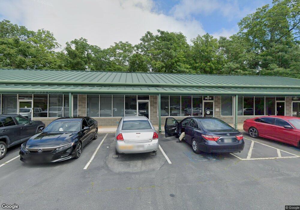
105 Patrol Rd Unit D Forsyth, GA 31029
Estimated Value: $349,433
--
Bed
--
Bath
7,000
Sq Ft
$50/Sq Ft
Est. Value
About This Home
This home is located at 105 Patrol Rd Unit D, Forsyth, GA 31029 and is currently estimated at $349,433, approximately $49 per square foot. 105 Patrol Rd Unit D is a home located in Monroe County with nearby schools including T.G. Scott Elementary School, Mary Persons High School, and Lighthouse Academy.
Ownership History
Date
Name
Owned For
Owner Type
Purchase Details
Closed on
Dec 1, 2022
Sold by
Mew Properties Llc
Bought by
Mcb Llc
Current Estimated Value
Home Financials for this Owner
Home Financials are based on the most recent Mortgage that was taken out on this home.
Original Mortgage
$315,000
Interest Rate
6.95%
Mortgage Type
New Conventional
Purchase Details
Closed on
Dec 31, 2015
Sold by
Winget Michael E
Bought by
Mew Properties Llc
Purchase Details
Closed on
Jun 30, 2014
Sold by
The Farmers Bank
Bought by
Winget Michael E
Home Financials for this Owner
Home Financials are based on the most recent Mortgage that was taken out on this home.
Original Mortgage
$362,590
Interest Rate
4.17%
Mortgage Type
Commercial
Create a Home Valuation Report for This Property
The Home Valuation Report is an in-depth analysis detailing your home's value as well as a comparison with similar homes in the area
Home Values in the Area
Average Home Value in this Area
Purchase History
| Date | Buyer | Sale Price | Title Company |
|---|---|---|---|
| Mcb Llc | $315,000 | -- | |
| Mew Properties Llc | -- | -- | |
| Winget Michael E | $400,000 | -- |
Source: Public Records
Mortgage History
| Date | Status | Borrower | Loan Amount |
|---|---|---|---|
| Closed | Mcb Llc | $315,000 | |
| Previous Owner | Winget Michael E | $362,590 |
Source: Public Records
Tax History Compared to Growth
Tax History
| Year | Tax Paid | Tax Assessment Tax Assessment Total Assessment is a certain percentage of the fair market value that is determined by local assessors to be the total taxable value of land and additions on the property. | Land | Improvement |
|---|---|---|---|---|
| 2024 | $4,630 | $153,560 | $20,680 | $132,880 |
| 2023 | $4,456 | $153,560 | $20,680 | $132,880 |
| 2022 | $4,541 | $153,560 | $20,680 | $132,880 |
| 2021 | $4,688 | $153,560 | $20,680 | $132,880 |
| 2020 | $4,873 | $153,560 | $20,680 | $132,880 |
| 2019 | $4,908 | $153,560 | $20,680 | $132,880 |
| 2018 | $4,921 | $153,560 | $20,680 | $132,880 |
| 2017 | $4,924 | $153,560 | $20,680 | $132,880 |
| 2016 | $4,704 | $153,560 | $20,680 | $132,880 |
| 2015 | $4,484 | $153,560 | $20,680 | $132,880 |
| 2014 | $4,051 | $140,800 | $20,680 | $120,120 |
Source: Public Records
Map
Nearby Homes
- 205 Solomon St
- 3487 Georgia 42
- 3271 Georgia 42
- 3471 Georgia 42
- 225 N Indian Springs Dr
- 101 E Chambers St
- 200 Indian Springs Dr
- 285 E Main St
- 4616 Capulet Ct
- 0 Patrol Rd Unit 10473001
- 5407 Felles Way Unit 356
- 5399 Felles Way Unit 358
- 5399 Felles Way
- 5393 Felles Way Unit 359
- 5387 Felles Way
- 5387 Felles Way Unit 360
- Cypress Plan at Juliette Crossing
- Jackson Plan at Juliette Crossing
- Cannaberra Plan at Juliette Crossing
- Oakwood Plan at Juliette Crossing
- 105 Patrol Rd
- 176 James St
- 182 James St
- 194 James St
- 173 James St
- 187 James St
- 181 James St
- 163 James St
- 195 James St
- 0 James St Unit 176983
- 0 James St Unit 10395342
- 0 James St Unit M153743
- 0 James St Unit 8720912
- 22 James St
- 125 Benjamin St
- 197 James St
- 201 James St
- 149 James St
- 209 James St
- 215 James St