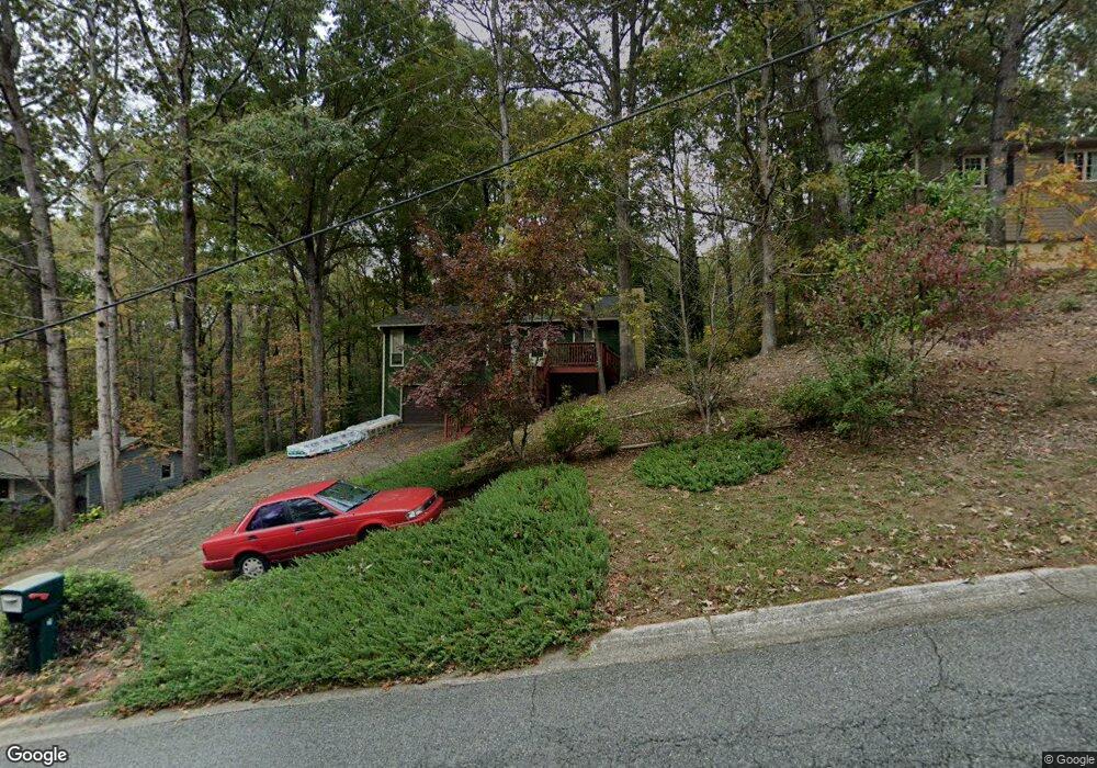
105 Riverlake Dr Unit 1 Woodstock, GA 30188
Union Hill NeighborhoodEstimated Value: $366,000 - $378,930
3
Beds
2
Baths
2,048
Sq Ft
$182/Sq Ft
Est. Value
About This Home
This home is located at 105 Riverlake Dr Unit 1, Woodstock, GA 30188 and is currently estimated at $372,465, approximately $181 per square foot. 105 Riverlake Dr Unit 1 is a home located in Cherokee County with nearby schools including Mountain Road Elementary School, Rusk Middle School, and Sequoyah High School.
Ownership History
Date
Name
Owned For
Owner Type
Purchase Details
Closed on
Apr 9, 2010
Sold by
Capri Sandra
Bought by
Capri Sandra T and Schwitters Suzanne
Current Estimated Value
Purchase Details
Closed on
Mar 31, 1997
Sold by
Vallo James W
Bought by
Capri Sandra
Home Financials for this Owner
Home Financials are based on the most recent Mortgage that was taken out on this home.
Original Mortgage
$84,550
Interest Rate
7.86%
Mortgage Type
New Conventional
Create a Home Valuation Report for This Property
The Home Valuation Report is an in-depth analysis detailing your home's value as well as a comparison with similar homes in the area
Home Values in the Area
Average Home Value in this Area
Purchase History
| Date | Buyer | Sale Price | Title Company |
|---|---|---|---|
| Capri Sandra T | -- | -- | |
| Capri Sandra | $89,000 | -- |
Source: Public Records
Mortgage History
| Date | Status | Borrower | Loan Amount |
|---|---|---|---|
| Previous Owner | Capri Sandra | $84,550 |
Source: Public Records
Tax History Compared to Growth
Tax History
| Year | Tax Paid | Tax Assessment Tax Assessment Total Assessment is a certain percentage of the fair market value that is determined by local assessors to be the total taxable value of land and additions on the property. | Land | Improvement |
|---|---|---|---|---|
| 2025 | $577 | $113,460 | $33,600 | $79,860 |
| 2024 | $557 | $103,100 | $33,600 | $69,500 |
| 2023 | $426 | $105,860 | $28,800 | $77,060 |
| 2022 | $550 | $92,780 | $20,000 | $72,780 |
| 2021 | $1,972 | $75,820 | $18,000 | $57,820 |
| 2020 | $1,785 | $67,700 | $16,400 | $51,300 |
| 2019 | $1,719 | $64,840 | $16,000 | $48,840 |
| 2018 | $1,530 | $56,360 | $14,000 | $42,360 |
| 2017 | $1,474 | $133,700 | $12,400 | $41,080 |
| 2016 | $1,406 | $126,500 | $12,400 | $38,200 |
| 2015 | $1,367 | $122,000 | $11,200 | $37,600 |
| 2014 | $1,281 | $114,500 | $9,600 | $36,200 |
Source: Public Records
Map
Nearby Homes
- 136 Plantation Trace
- 239 Aberdeen Way
- 234 Aberdeen Way
- 13795 Arnold Mill Rd
- 528 River Lakeside Ln
- 7052 Foundry Dr
- 1168 Ridgeview Rd
- 1188 Ridgeview Rd
- 210 River Laurel Way
- 619 Stoney Creek Rd
- 4002 Tallow Place
- 13530 Old Chadwick Ln
- 214 Kingsley Way
- 303 River Laurel Way
- 1043 Ridgeview Rd
- 16180 Grand Litchfield Dr
- 1039 Ridgeview Rd
- Payton Plan at Holly Farm - Highlands
- Monteluce Plan at Holly Farm - Highlands
- Antioch Plan at Holly Farm - Highlands
- 107 Riverlake Dr
- 103 Riverlake Dr
- 205 Apple Ct
- 109 Riverlake Dr
- 106 Riverlake Dr
- 108 Riverlake Dr Unit 1
- 104 Riverlake Dr Unit 1
- 110 Riverlake Dr
- 111 Riverlake Dr
- 206 Apple Ct
- 203 Apple Ct Unit 1
- 10385 Hickory Flat Hwy
- 10455 Hickory Flat Hwy
- 113 Riverlake Dr
- 112 Riverlake Dr
- 114 Plantation Trace
- 116 Plantation Trace Unit 1
- 204 Apple Ct Unit 1
- 10469 Hickory Flat Hwy
- 112 Plantation Trace Unit 1