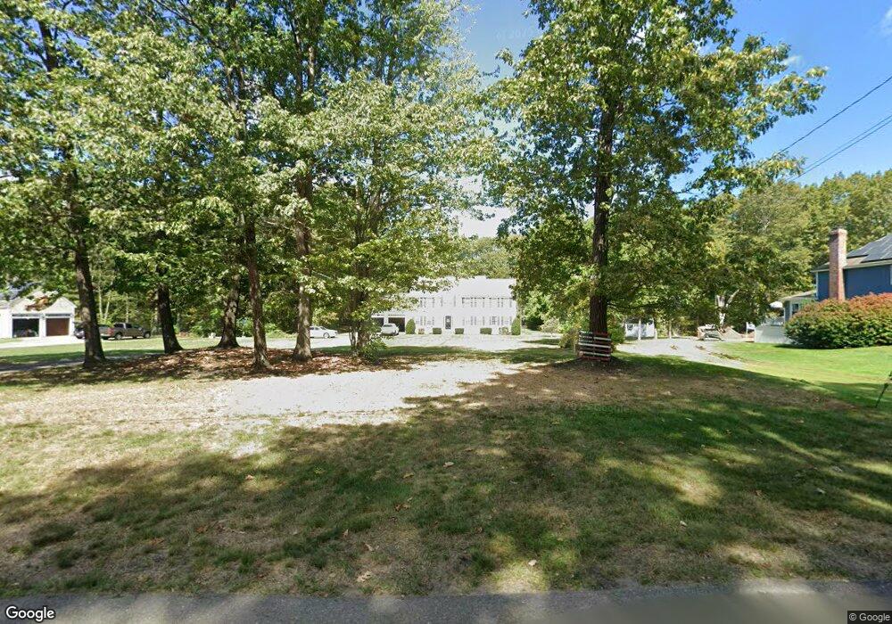
105 Robbs Hill Rd Lunenburg, MA 01462
Estimated Value: $782,884 - $975,000
4
Beds
4
Baths
3,264
Sq Ft
$275/Sq Ft
Est. Value
About This Home
This home is located at 105 Robbs Hill Rd, Lunenburg, MA 01462 and is currently estimated at $896,971, approximately $274 per square foot. 105 Robbs Hill Rd is a home located in Worcester County with nearby schools including Lunenburg Primary School, Lunenburg High School, and Applewild School - Devens Campus.
Ownership History
Date
Name
Owned For
Owner Type
Purchase Details
Closed on
Apr 13, 2001
Sold by
Rd Kanniard Homes Inc
Bought by
Brand Robert E and Brand Joan M
Current Estimated Value
Home Financials for this Owner
Home Financials are based on the most recent Mortgage that was taken out on this home.
Original Mortgage
$155,000
Interest Rate
6.97%
Mortgage Type
Purchase Money Mortgage
Create a Home Valuation Report for This Property
The Home Valuation Report is an in-depth analysis detailing your home's value as well as a comparison with similar homes in the area
Home Values in the Area
Average Home Value in this Area
Purchase History
| Date | Buyer | Sale Price | Title Company |
|---|---|---|---|
| Brand Robert E | $395,000 | -- |
Source: Public Records
Mortgage History
| Date | Status | Borrower | Loan Amount |
|---|---|---|---|
| Open | Brand Robert E | $70,000 | |
| Open | Brand Robert E | $225,000 | |
| Closed | Brand Robert E | $182,000 | |
| Closed | Brand Robert E | $155,000 |
Source: Public Records
Tax History Compared to Growth
Tax History
| Year | Tax Paid | Tax Assessment Tax Assessment Total Assessment is a certain percentage of the fair market value that is determined by local assessors to be the total taxable value of land and additions on the property. | Land | Improvement |
|---|---|---|---|---|
| 2025 | $9,940 | $692,200 | $173,500 | $518,700 |
| 2024 | $9,079 | $643,900 | $156,500 | $487,400 |
| 2023 | $8,746 | $598,200 | $141,900 | $456,300 |
| 2022 | $8,476 | $493,100 | $118,400 | $374,700 |
| 2020 | $8,674 | $478,700 | $118,500 | $360,200 |
| 2019 | $8,382 | $448,700 | $114,500 | $334,200 |
| 2018 | $8,623 | $437,700 | $114,400 | $323,300 |
| 2017 | $8,585 | $429,700 | $116,800 | $312,900 |
| 2016 | $8,044 | $410,200 | $107,200 | $303,000 |
| 2015 | $7,282 | $397,500 | $102,400 | $295,100 |
Source: Public Records
Map
Nearby Homes
- 45 Spring St
- 659 Reservoir Rd
- 11 Longwood Dr
- 9 Winter Hill Rd
- 12 Hazen Rd
- 110 Burrage St
- 17 Ambrose Way Unit 17
- 3 Ambrose Way Unit 3
- 6 Ambrose Way Unit 3
- 9 Ambrose Way Unit 9
- 7 Ambrose Way Unit 5
- 4 Ambrose Way Unit 4
- 5 Ambrose Way Unit 5
- 2 Maple St
- 3 Mill St
- 828 Lancaster Ave
- 30 Ayer Rd
- 40 Ayer Rd
- 1044 Lancaster Ave
- 330 Arbor St
- 91 Robbs Hill Rd
- 125 Robbs Hill Rd
- 79 Robbs Hill Rd
- 79 Robbs Hill Rd
- 137 Robbs Hill Rd
- 108 Robbs Hill Rd
- 84 Robbs Hill Rd
- 57 Robbs Hill Rd
- 57 Robbs Hill Rd
- 57 Robbs Hill Rd Unit 57
- 41 Robbs Hill Rd
- 139 Robbs Hill Rd
- 144 Robbs Hill Rd
- 48 Robbs Hill Rd
- 125 Sunset Ln
- 37 Robbs Hill Rd
- 147 Robbs Hill Rd
- 29 Robbs Hill Rd
- 165 Sunset Ln
- 60 Robbs Hill Rd