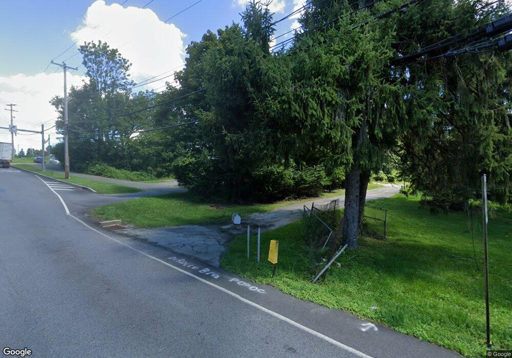
Estimated Value: $814,911 - $1,077,000
9
Beds
3
Baths
3,806
Sq Ft
$238/Sq Ft
Est. Value
About This Home
This home is located at 105 S Whitford Rd, Exton, PA 19341 and is currently estimated at $906,970, approximately $238 per square foot. 105 S Whitford Rd is a home located in Chester County with nearby schools including Mary C Howse Elementary School, E.N. Peirce Middle School, and Henderson High School.
Ownership History
Date
Name
Owned For
Owner Type
Purchase Details
Closed on
Oct 17, 2024
Sold by
105 Whitford Road Llc
Bought by
Commonwealth Of Pennsylvania
Current Estimated Value
Purchase Details
Closed on
Dec 29, 2021
Sold by
Smith Barbara Mcllvaine and Estate Of William R Mcllvaine
Bought by
105 Whitford Road Llc
Create a Home Valuation Report for This Property
The Home Valuation Report is an in-depth analysis detailing your home's value as well as a comparison with similar homes in the area
Home Values in the Area
Average Home Value in this Area
Purchase History
| Date | Buyer | Sale Price | Title Company |
|---|---|---|---|
| Commonwealth Of Pennsylvania | -- | None Listed On Document | |
| 105 Whitford Road Llc | $650,000 | Manito Abstract Company Inc |
Source: Public Records
Tax History Compared to Growth
Tax History
| Year | Tax Paid | Tax Assessment Tax Assessment Total Assessment is a certain percentage of the fair market value that is determined by local assessors to be the total taxable value of land and additions on the property. | Land | Improvement |
|---|---|---|---|---|
| 2025 | $7,289 | $249,290 | $53,440 | $195,850 |
| 2024 | $7,289 | $251,460 | $55,610 | $195,850 |
| 2023 | $6,966 | $251,460 | $55,610 | $195,850 |
| 2022 | $6,871 | $251,460 | $55,610 | $195,850 |
| 2021 | $6,771 | $251,460 | $55,610 | $195,850 |
| 2020 | $6,725 | $251,460 | $55,610 | $195,850 |
| 2019 | $6,629 | $251,460 | $55,610 | $195,850 |
| 2018 | $6,481 | $251,460 | $55,610 | $195,850 |
| 2017 | $6,333 | $251,460 | $55,610 | $195,850 |
| 2016 | $5,475 | $251,460 | $55,610 | $195,850 |
| 2015 | $5,475 | $251,460 | $55,610 | $195,850 |
| 2014 | $5,475 | $251,460 | $55,610 | $195,850 |
Source: Public Records
Map
Nearby Homes
- 427 Lee Place
- 470 Lee Place
- 315 Oak Ln W
- 315 Tapestry Cir
- 422 Spackman Ln
- 252 Silverbell Ct
- 180 Birchwood Dr
- 256 Torrey Pine Ct
- 555 Pewter Dr Unit 555
- 209 Namar Ave
- 188 Fringetree Dr
- 218 Hendricks Ave
- 133 Denbigh Terrace Unit G33
- 510 Pine Needle Dr
- 324 Biddle Dr
- 411 Rennard Dr
- 156 Valleyview Dr
- 1432 Grove Ave
- 1430 Grove Ave
- 1430 Grove Ave Unit 1BP
- 390 W Lincoln Hwy
- 375 W Lincoln Hwy
- 351 W Lincoln Hwy
- 345 W Lincoln Hwy
- 331 W Lincoln Hwy
- 0 S Whitford Rd
- 0 S Whitford Rd Unit 1002843560
- 333 W Lincoln Hwy
- 339 W Lincoln Hwy
- 410 W Lincoln Hwy
- 403 W Lincoln Hwy
- 403 W Lincoln Hwy Unit ST 103
- 403 W Lincoln Hwy Unit ST 110
- 403 W Lincoln Hwy Unit ST 104
- 403 W Lincoln Hwy Unit ST 107
- 403 W Lincoln Hwy Unit ST 200
- 403 W Lincoln Hwy Unit ST 202
- 403 W Lincoln Hwy Unit 106
- 403 W Lincoln Hwy Unit 108
- 103 John Robert Thomas Dr
