105 Sanders Cemetery Rd Cedartown, GA 30125
Estimated Value: $319,000 - $389,000
2
Beds
2
Baths
1,931
Sq Ft
$181/Sq Ft
Est. Value
About This Home
This home is located at 105 Sanders Cemetery Rd, Cedartown, GA 30125 and is currently estimated at $349,047, approximately $180 per square foot. 105 Sanders Cemetery Rd is a home located in Polk County with nearby schools including Cedar Christian School.
Ownership History
Date
Name
Owned For
Owner Type
Purchase Details
Closed on
Mar 30, 2016
Sold by
Morrow Mitchell Crawford
Bought by
Wippler Lisa G and Wippler John E
Current Estimated Value
Home Financials for this Owner
Home Financials are based on the most recent Mortgage that was taken out on this home.
Original Mortgage
$141,600
Outstanding Balance
$112,345
Interest Rate
3.64%
Mortgage Type
VA
Estimated Equity
$236,702
Purchase Details
Closed on
May 20, 1997
Sold by
Dyer Wallace J and Dyer Joyce L
Bought by
Morrow Mitchell Crawford
Purchase Details
Closed on
Mar 25, 1991
Sold by
Kitchens Eddie E
Bought by
Dyer Wallace J
Create a Home Valuation Report for This Property
The Home Valuation Report is an in-depth analysis detailing your home's value as well as a comparison with similar homes in the area
Home Values in the Area
Average Home Value in this Area
Purchase History
| Date | Buyer | Sale Price | Title Company |
|---|---|---|---|
| Wippler Lisa G | $142,000 | -- | |
| Morrow Mitchell Crawford | $75,000 | -- | |
| Dyer Wallace J | $16,000 | -- |
Source: Public Records
Mortgage History
| Date | Status | Borrower | Loan Amount |
|---|---|---|---|
| Open | Wippler Lisa G | $141,600 |
Source: Public Records
Tax History Compared to Growth
Tax History
| Year | Tax Paid | Tax Assessment Tax Assessment Total Assessment is a certain percentage of the fair market value that is determined by local assessors to be the total taxable value of land and additions on the property. | Land | Improvement |
|---|---|---|---|---|
| 2024 | -- | $101,486 | $23,932 | $77,554 |
| 2023 | $0 | $73,070 | $23,932 | $49,138 |
| 2022 | $1,395 | $58,027 | $15,955 | $42,072 |
| 2021 | $1,406 | $58,471 | $15,955 | $42,516 |
| 2020 | $1,591 | $58,471 | $15,955 | $42,516 |
| 2019 | $1,506 | $57,067 | $15,955 | $41,112 |
| 2018 | $1,525 | $55,332 | $15,955 | $39,377 |
| 2017 | $1,506 | $55,332 | $15,955 | $39,377 |
| 2016 | $1,184 | $57,002 | $17,624 | $39,377 |
| 2015 | $1,185 | $57,002 | $17,624 | $39,377 |
| 2014 | $1,192 | $57,002 | $17,624 | $39,377 |
Source: Public Records
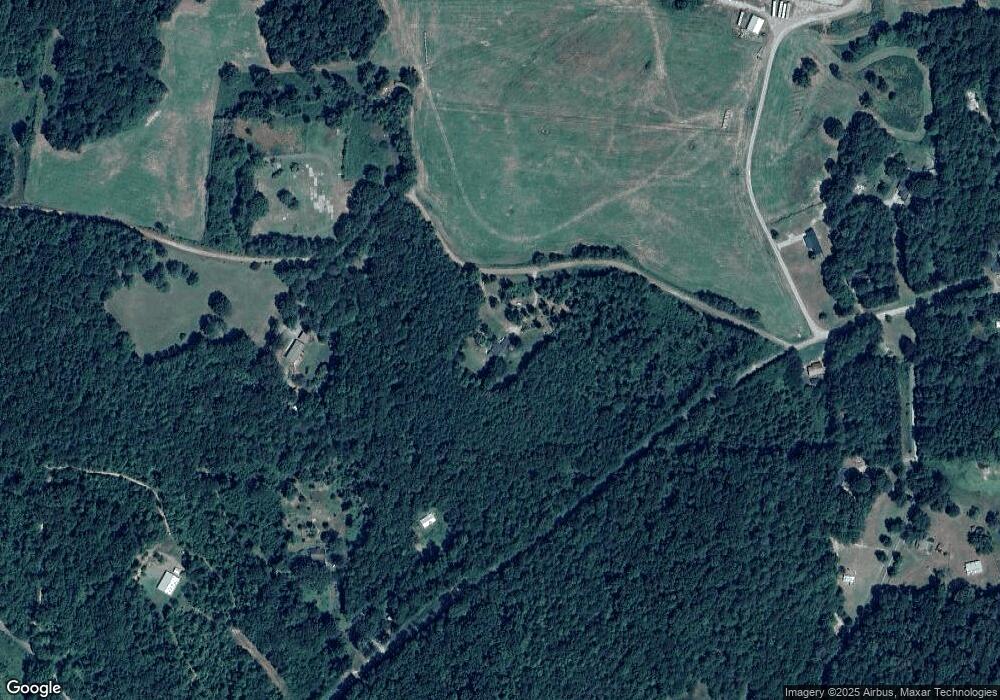
Map
Nearby Homes
- 1849 Prior Station Rd Unit 76 ACRES
- 1849 Prior Station Rd
- 151 Friendship Rd
- 0 Mountain Home Rd Unit 1020-C 10351948
- 0 Mountain Home Rd Unit 1020-B 10351940
- 0 Mountain Home Rd Unit 1020-A 10351930
- 119 New Harmony Rd
- 255 Reynolds Rd
- 35 Harris Loop
- 123 Santa Claus Rd
- 382 5th St
- 0 Cornelius Rd Unit 7646589
- 293 4th St
- 516 Branch St
- 512 Branch St
- 508 Branch St
- 28 Summerwind Dr
- 39 Summerwind Dr
- 1200 N Cave Spring St
- 244 Valley Grove Rd
- 105 Sanders Cemetery Rd Unit 7 A B
- 105 Sanders Cemetery Rd Unit A
- 105 Sanders Cemetery Rd
- 0 Sanders Cemetery Rd
- 0 Sanders Cemetery Rd Unit 8178630
- 0 Sanders Cemetery Rd Unit 7532714
- 0 Sanders Cemetery Rd Unit 7388794
- 0 Sanders Cemetery Rd Unit 7041106
- 0 Sanders Cemetery Rd Unit 3203051
- 0 Sanders Cemetery Rd Unit 8365348
- 449 Dry Creek Rd
- 100 Edwards Rd
- 430 Dry Creek Rd
- 456 Dry Creek Rd
- 373 Blacksmith Rd
- 477 Dry Creek Rd
- 142 Edwards Rd
- 437 Dry Creek Rd
- 501 Dry Creek Rd
- 499 Dry Creek Rd