105 Sedalia Dr Fort Worth, TX 76108
Far West Fort Worth NeighborhoodEstimated Value: $928,624 - $1,280,000
4
Beds
4
Baths
4,592
Sq Ft
$238/Sq Ft
Est. Value
About This Home
This home is located at 105 Sedalia Dr, Fort Worth, TX 76108 and is currently estimated at $1,094,906, approximately $238 per square foot. 105 Sedalia Dr is a home located in Parker County with nearby schools including Silver Creek Elementary School, Azle Elementary School, and Azle Junior High School.
Ownership History
Date
Name
Owned For
Owner Type
Purchase Details
Closed on
Sep 29, 2008
Sold by
The Bank Of New York
Bought by
Brown Mike S
Current Estimated Value
Home Financials for this Owner
Home Financials are based on the most recent Mortgage that was taken out on this home.
Original Mortgage
$394,250
Interest Rate
6.5%
Mortgage Type
Purchase Money Mortgage
Purchase Details
Closed on
Sep 1, 2008
Sold by
Bank Of New York As Trustee For
Bought by
Brown Mike S
Home Financials for this Owner
Home Financials are based on the most recent Mortgage that was taken out on this home.
Original Mortgage
$394,250
Interest Rate
6.5%
Mortgage Type
Purchase Money Mortgage
Purchase Details
Closed on
May 6, 2008
Sold by
Giddings Timothy and Giddings Ramona
Bought by
Brown Mike S
Purchase Details
Closed on
Sep 9, 2005
Sold by
Shriners Hospital For Children
Bought by
Brown Mike S
Home Financials for this Owner
Home Financials are based on the most recent Mortgage that was taken out on this home.
Original Mortgage
$640,000
Interest Rate
5.88%
Mortgage Type
New Conventional
Create a Home Valuation Report for This Property
The Home Valuation Report is an in-depth analysis detailing your home's value as well as a comparison with similar homes in the area
Home Values in the Area
Average Home Value in this Area
Purchase History
| Date | Buyer | Sale Price | Title Company |
|---|---|---|---|
| Brown Mike S | -- | Fatco | |
| Brown Mike S | -- | -- | |
| Brown Mike S | -- | -- | |
| Bank Of New York | $535,200 | None Available | |
| Brown Mike S | -- | -- | |
| Giddings Timothy | -- | None Available |
Source: Public Records
Mortgage History
| Date | Status | Borrower | Loan Amount |
|---|---|---|---|
| Previous Owner | Brown Mike S | $394,250 | |
| Previous Owner | Giddings Timothy | $640,000 |
Source: Public Records
Tax History Compared to Growth
Tax History
| Year | Tax Paid | Tax Assessment Tax Assessment Total Assessment is a certain percentage of the fair market value that is determined by local assessors to be the total taxable value of land and additions on the property. | Land | Improvement |
|---|---|---|---|---|
| 2025 | $3,572 | $804,263 | -- | -- |
| 2024 | $3,572 | $731,148 | -- | -- |
| 2023 | $3,572 | $664,680 | $0 | $0 |
| 2022 | $11,181 | $620,300 | $137,500 | $482,800 |
| 2021 | $10,650 | $620,300 | $137,500 | $482,800 |
| 2020 | $9,630 | $499,390 | $75,000 | $424,390 |
| 2019 | $10,207 | $499,390 | $75,000 | $424,390 |
| 2018 | $9,930 | $484,330 | $75,000 | $409,330 |
| 2017 | $9,339 | $484,330 | $75,000 | $409,330 |
| 2016 | $8,490 | $434,560 | $55,000 | $379,560 |
| 2015 | $3,048 | $434,560 | $55,000 | $379,560 |
| 2014 | $7,756 | $421,730 | $55,000 | $366,730 |
Source: Public Records
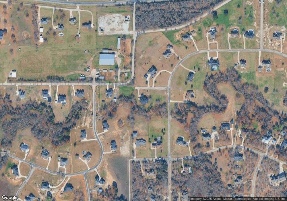
Map
Nearby Homes
- 200 W Bozeman Ln
- 101 E Bozeman Ln
- 141 E Bozeman Ln
- 175 N Boyce Ln
- 100 Stone Canyon Cir
- 108 Stone Canyon Cir
- 142 Crown Ridge Ct
- 189 Stoney Ridge
- 900 Reese Ln
- 101 Creekpath Dr
- 313 Silver Canyon Dr
- 301 Silver Canyon Dr
- 138 Bluff Creek Rd
- 129 Lariat Ct
- 177 Lost Oak Dr
- 1144 Boling Ranch Rd N
- 1144 Rd
- 125 Branding Iron Ct
- 704 Glade Park Ct
- 420 Cattlebaron Parc Dr
- 208 W Bozeman Ln
- 809 Younger Ranch Rd
- 470 Younger Ranch Rd
- 110 N Boyce Ln
- 127 N Boyce Ln
- 126 N Boyce Ln
- 1052 Newsome Ranch Way
- 103 N Boyce Ln
- 1052 Newsom Ranch Way
- 203 W Bozeman Ln
- 119 N Boyce Ln
- 143 N Boyce Ln
- 110 S Boyce Ln
- 460 Younger Ranch Rd
- 110 S Boyce
- 100 E Bozeman Ln
- 458 Younger Ranch Rd
- 144 N Boyce Ln
- 8820 Fm 1886
- 209 S Boyce Ln