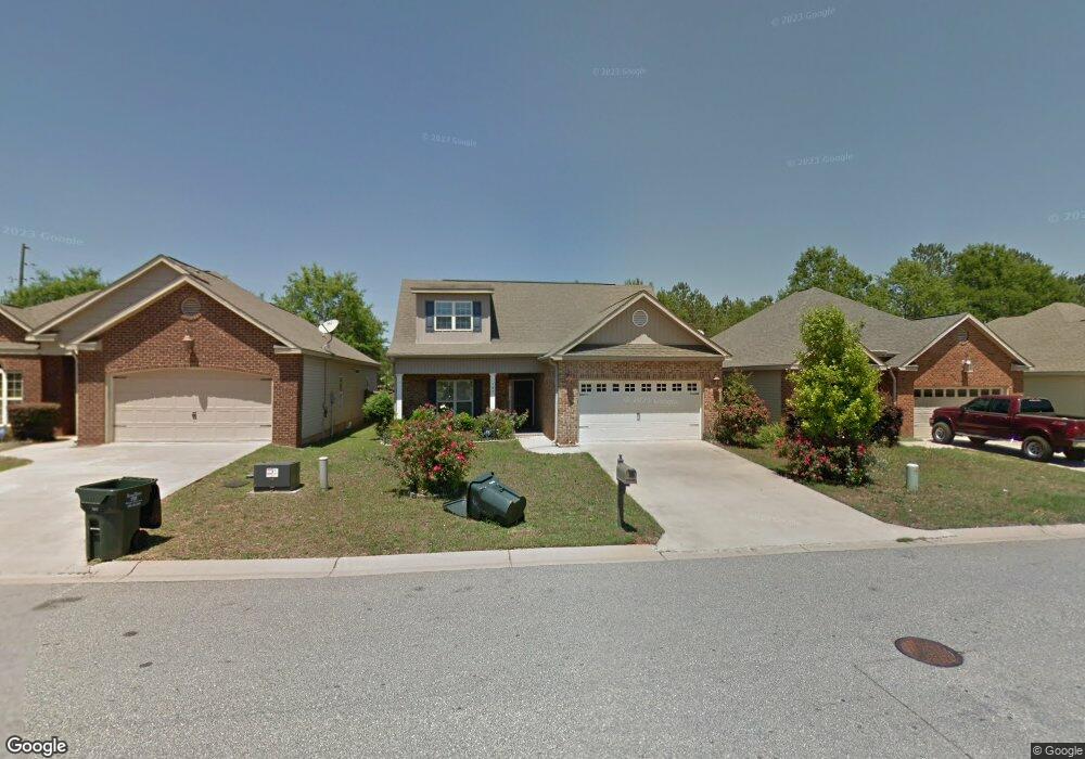
105 Station Way Warner Robins, GA 31088
Estimated Value: $201,000 - $220,000
3
Beds
2
Baths
1,371
Sq Ft
$153/Sq Ft
Est. Value
About This Home
This home is located at 105 Station Way, Warner Robins, GA 31088 and is currently estimated at $210,051, approximately $153 per square foot. 105 Station Way is a home located in Houston County with nearby schools including Russell Elementary School, Huntington Middle School, and Warner Robins High School.
Ownership History
Date
Name
Owned For
Owner Type
Purchase Details
Closed on
Aug 12, 2010
Sold by
Sevarlic Milan and Sevarlic Milka
Bought by
Vickers Shahnee and Stewart Estina
Current Estimated Value
Home Financials for this Owner
Home Financials are based on the most recent Mortgage that was taken out on this home.
Original Mortgage
$107,551
Outstanding Balance
$71,317
Interest Rate
4.6%
Mortgage Type
FHA
Estimated Equity
$138,734
Purchase Details
Closed on
Nov 7, 2007
Sold by
Mls Homes Llc
Bought by
Sevarlic Milan and Sevarlic Milka
Purchase Details
Closed on
Jul 9, 2007
Sold by
People Community National Bank
Bought by
Mls Homes Llc
Create a Home Valuation Report for This Property
The Home Valuation Report is an in-depth analysis detailing your home's value as well as a comparison with similar homes in the area
Home Values in the Area
Average Home Value in this Area
Purchase History
| Date | Buyer | Sale Price | Title Company |
|---|---|---|---|
| Vickers Shahnee | $109,000 | None Available | |
| Sevarlic Milan | $126,000 | None Available | |
| Mls Homes Llc | -- | None Available |
Source: Public Records
Mortgage History
| Date | Status | Borrower | Loan Amount |
|---|---|---|---|
| Open | Vickers Shahnee | $107,551 |
Source: Public Records
Tax History Compared to Growth
Tax History
| Year | Tax Paid | Tax Assessment Tax Assessment Total Assessment is a certain percentage of the fair market value that is determined by local assessors to be the total taxable value of land and additions on the property. | Land | Improvement |
|---|---|---|---|---|
| 2024 | $2,137 | $66,680 | $8,000 | $58,680 |
| 2023 | $1,882 | $58,480 | $8,000 | $50,480 |
| 2022 | $1,117 | $50,560 | $8,000 | $42,560 |
| 2021 | $1,032 | $46,640 | $8,000 | $38,640 |
| 2020 | $1,035 | $46,560 | $8,000 | $38,560 |
| 2019 | $1,035 | $46,560 | $8,000 | $38,560 |
| 2018 | $1,035 | $46,560 | $8,000 | $38,560 |
| 2017 | $1,036 | $46,560 | $8,000 | $38,560 |
| 2016 | $1,038 | $46,560 | $8,000 | $38,560 |
| 2015 | -- | $48,400 | $8,680 | $39,720 |
| 2014 | $436 | $48,400 | $8,680 | $39,720 |
| 2013 | $436 | $52,720 | $12,400 | $40,320 |
Source: Public Records
Map
Nearby Homes
- 104 Crossing Place
- 254 Southland Station Dr
- 116 Lake Pointe Dr
- 303 Leisure Lake Dr
- 101 Leisure Lake Ct
- 103 Leisure Lake Ct
- 230 Tallulah Trail
- 105 Leisure Lake Ct
- 236 Tallulah Trail
- 105 Ridge Pointe Ct
- 124 Stonehedge Dr
- 122 Tallulah Trail
- 141 Stoneridge Dr
- 102 Tallulah Trail
- 140 Stoneridge Dr
- 104 Breeze Point Trail
- 201 Station Way
- 103 Station Way
- 0 Station Way
- 203 Station Way
- 101 Station Way
- 205 Station Way
- 100 Station Way
- 200 Station Way
- 0 Southland Station Dr Unit 8123906
- 0 Southland Station Dr Unit 7555276
- 0 Southland Station Dr Unit 3078750
- 0 Southland Station Dr Unit 3078735
- 0 Southland Station Dr Unit 8057442
- 0 Southland Station Dr
- 0 Southland Station Dr
- 207 Station Way
- 207 Station Way
- 202 Station Way
- 102 Crossing Place
- 204 Station Way