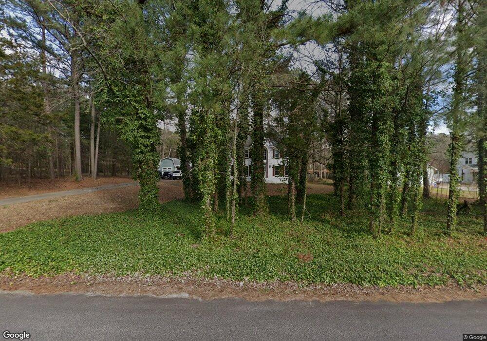
105 Tiffany Ct Locust Grove, GA 30248
Estimated Value: $339,019 - $423,000
4
Beds
3
Baths
2,710
Sq Ft
$134/Sq Ft
Est. Value
About This Home
This home is located at 105 Tiffany Ct, Locust Grove, GA 30248 and is currently estimated at $364,005, approximately $134 per square foot. 105 Tiffany Ct is a home located in Henry County with nearby schools including New Hope Elementary School, Locust Grove Middle School, and Locust Grove High School.
Ownership History
Date
Name
Owned For
Owner Type
Purchase Details
Closed on
Feb 7, 2021
Sold by
Amos Kelly Maria
Bought by
Amos William Mark
Current Estimated Value
Purchase Details
Closed on
Sep 27, 1994
Sold by
Paulk G Phillip and Paulk Pamela P
Bought by
Amos Wm M and Amos Kelly M
Home Financials for this Owner
Home Financials are based on the most recent Mortgage that was taken out on this home.
Original Mortgage
$137,000
Interest Rate
7.5%
Purchase Details
Closed on
Dec 16, 1993
Sold by
Constr Evans
Bought by
Paulk G Phillip and Paulk Pamela P
Home Financials for this Owner
Home Financials are based on the most recent Mortgage that was taken out on this home.
Original Mortgage
$138,150
Interest Rate
5.5%
Create a Home Valuation Report for This Property
The Home Valuation Report is an in-depth analysis detailing your home's value as well as a comparison with similar homes in the area
Home Values in the Area
Average Home Value in this Area
Purchase History
| Date | Buyer | Sale Price | Title Company |
|---|---|---|---|
| Amos William Mark | -- | -- | |
| Amos Wm M | $157,000 | -- | |
| Paulk G Phillip | $153,600 | -- | |
| Paulk G Phillip | $153,600 | -- |
Source: Public Records
Mortgage History
| Date | Status | Borrower | Loan Amount |
|---|---|---|---|
| Previous Owner | Amos Wm M | $137,000 | |
| Previous Owner | Paulk G Phillip | $138,150 |
Source: Public Records
Tax History Compared to Growth
Tax History
| Year | Tax Paid | Tax Assessment Tax Assessment Total Assessment is a certain percentage of the fair market value that is determined by local assessors to be the total taxable value of land and additions on the property. | Land | Improvement |
|---|---|---|---|---|
| 2025 | $3,680 | $137,808 | $16,000 | $121,808 |
| 2024 | $3,680 | $139,600 | $16,000 | $123,600 |
| 2023 | $3,240 | $137,200 | $14,800 | $122,400 |
| 2022 | $3,057 | $108,000 | $14,800 | $93,200 |
| 2021 | $3,199 | $97,320 | $14,800 | $82,520 |
| 2020 | $3,049 | $90,880 | $12,000 | $78,880 |
| 2019 | $2,869 | $83,240 | $12,000 | $71,240 |
| 2018 | $2,683 | $75,960 | $12,000 | $63,960 |
| 2016 | $2,652 | $75,160 | $10,000 | $65,160 |
| 2015 | $2,662 | $73,600 | $10,000 | $63,600 |
| 2014 | $2,568 | $70,520 | $10,000 | $60,520 |
Source: Public Records
Map
Nearby Homes
- 100 Harbin Trail
- 1126 Old Jackson Rd
- 143 Kimbell Farm Dr
- 121, 125, 129 Case Dr
- 218 Baxter Ln
- 995 Old Jackson Rd
- 215 Laney Rd
- 281 Laney Dr
- S S Laney Rd
- 125 Laney Ct
- 125 Karen Dr
- 601 Amerigo Ct
- 976 S Laney Rd
- 521 Deadwood Trail
- 175 Laney Ct Unit 1
- 690 Laney Rd
- 767 Old Jackson Rd
- 1850 Old Jackson Rd
- 225 Laney Ct
- 1000 Coan Dr
- 115 Tiffany Ct
- 1240 Old Jackson Rd
- 1220 Old Jackson Rd
- 100 Tiffany Ct Unit 1
- 0 Tiffany Ct Unit 8654147
- 0 Tiffany Ct Unit 8473072
- 0 Tiffany Ct Unit 7552429
- 0 Tiffany Ct Unit 8574382
- 110 Tiffany Ct
- 125 Tiffany Ct
- 1278 Old Jackson Rd
- 1210 Old Jackson Rd
- 120 Tiffany Ct
- 1300 Old Jackson Rd
- 135 Tiffany Ct
- 115 Harbin Trail
- 111 Harbin Trail
- 123 Harbin Trail
- 109 Harbin Trail
- 1248 Old Jackson Rd