105 Top St Unit 1020 South Point, OH 45680
Burlington NeighborhoodEstimated Value: $110,000 - $161,000
3
Beds
1
Bath
1,498
Sq Ft
$94/Sq Ft
Est. Value
About This Home
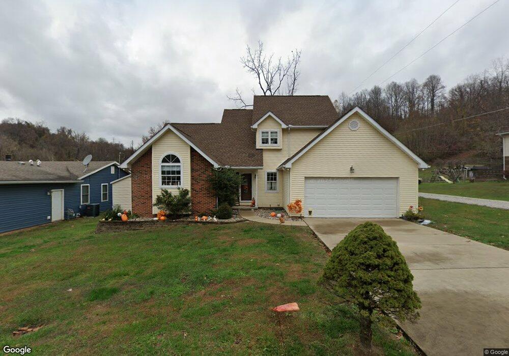
This home is located at 105 Top St Unit 1020, South Point, OH 45680 and is currently estimated at $140,435, approximately $93 per square foot. 105 Top St Unit 1020 is a home located in Lawrence County with nearby schools including South Point High School and Grace Christian School.
Ownership History
Date
Name
Owned For
Owner Type
Purchase Details
Closed on
Mar 5, 2010
Sold by
Fox Larry V
Bought by
Short Joshua A and Short Lindsay R
Current Estimated Value
Home Financials for this Owner
Home Financials are based on the most recent Mortgage that was taken out on this home.
Original Mortgage
$70,408
Outstanding Balance
$46,735
Interest Rate
5.01%
Mortgage Type
New Conventional
Estimated Equity
$93,700
Purchase Details
Closed on
Nov 16, 2007
Sold by
Bradburn Joel D and Bradburn Kimberly L
Bought by
Fox Ii Larry
Home Financials for this Owner
Home Financials are based on the most recent Mortgage that was taken out on this home.
Original Mortgage
$59,000
Interest Rate
6.45%
Mortgage Type
Purchase Money Mortgage
Purchase Details
Closed on
Jun 25, 1993
Sold by
Duty Edith
Bought by
Bradburn Joel D
Create a Home Valuation Report for This Property
The Home Valuation Report is an in-depth analysis detailing your home's value as well as a comparison with similar homes in the area
Home Values in the Area
Average Home Value in this Area
Purchase History
| Date | Buyer | Sale Price | Title Company |
|---|---|---|---|
| Short Joshua A | $69,000 | Carteret Title Llc | |
| Fox Ii Larry | $55,000 | Attorney | |
| Bradburn Joel D | $39,500 | -- |
Source: Public Records
Mortgage History
| Date | Status | Borrower | Loan Amount |
|---|---|---|---|
| Open | Short Joshua A | $70,408 | |
| Previous Owner | Fox Ii Larry | $59,000 |
Source: Public Records
Tax History Compared to Growth
Tax History
| Year | Tax Paid | Tax Assessment Tax Assessment Total Assessment is a certain percentage of the fair market value that is determined by local assessors to be the total taxable value of land and additions on the property. | Land | Improvement |
|---|---|---|---|---|
| 2024 | -- | $25,470 | $4,670 | $20,800 |
| 2023 | $775 | $25,470 | $4,670 | $20,800 |
| 2022 | $772 | $25,470 | $4,670 | $20,800 |
| 2021 | $688 | $21,820 | $4,270 | $17,550 |
| 2020 | $703 | $21,820 | $4,270 | $17,550 |
| 2019 | $699 | $21,820 | $4,270 | $17,550 |
| 2018 | $695 | $21,390 | $4,180 | $17,210 |
| 2017 | $693 | $21,390 | $4,180 | $17,210 |
| 2016 | $643 | $21,390 | $4,180 | $17,210 |
| 2015 | $604 | $19,650 | $4,180 | $15,470 |
| 2014 | $570 | $18,560 | $4,180 | $14,380 |
| 2013 | $569 | $18,560 | $4,180 | $14,380 |
Source: Public Records
Map
Nearby Homes
- 41 Township Rd
- 245 Township Rd
- 15 Township Rd
- 78 Township Road 1430
- 154 Township Road 1430
- 20 Private Drive 52 Unit F
- 71 B Private Drive 54
- 82 C Private Dr 54
- 82 Private Drive 54 Unit B
- 260 Kentucky St
- 216 32nd St W
- 161 Township Road 1020
- 227 32nd St W
- 4218 Auburn Rd
- 4132 Brandon Rd
- 2374 County Road 144
- 1 Waverly Rd
- 2730 Orchard Ave
- 3203 Bradley Rd
- 3 Waverly Rd
- 105 Top St Unit 616
- 105 Top St Unit 1025
- 105 Township Road 1425
- 105 Top St
- 105 Top St Unit 1425
- 105 Top St Unit 1357
- 105 Top St Unit 1410
- 105 Top St Unit 135
- 105 Top St Unit 1018
- 69 Township Road 1424
- 8329 County Road 1
- 8291 County Road 1
- 8347 County Road 1
- 37 Township Road 1426
- 8261 County Road 1
- 171 Top St Unit 1425
- 107 Township Road 1426
- 8286 County Road 1
- 133 Top St Unit 1067
- 133 Top St Unit 1345