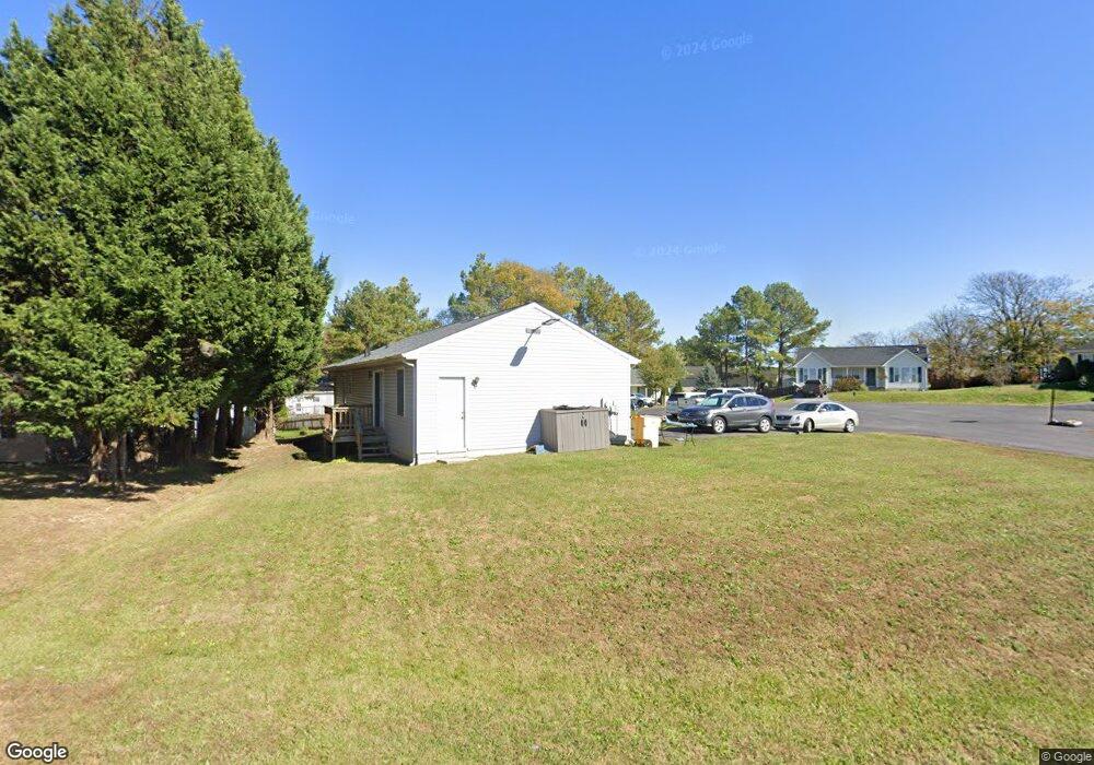
105 Towerview Dr Martinsburg, WV 25404
Estimated Value: $275,000 - $290,000
3
Beds
2
Baths
1,272
Sq Ft
$221/Sq Ft
Est. Value
About This Home
This home is located at 105 Towerview Dr, Martinsburg, WV 25404 and is currently estimated at $281,740, approximately $221 per square foot. 105 Towerview Dr is a home located in Berkeley County with nearby schools including Opequon Elementary School, Eagle School Intermediate School, and Martinsburg North Middle School.
Ownership History
Date
Name
Owned For
Owner Type
Purchase Details
Closed on
Sep 30, 2021
Sold by
Avella Eric W
Bought by
Stanard Sean and Stanard Hayley
Current Estimated Value
Home Financials for this Owner
Home Financials are based on the most recent Mortgage that was taken out on this home.
Original Mortgage
$199,405
Outstanding Balance
$181,444
Interest Rate
2.8%
Mortgage Type
New Conventional
Estimated Equity
$100,296
Purchase Details
Closed on
Sep 27, 2019
Sold by
Mott Michael and Mott Katie
Bought by
Avella Eric W
Home Financials for this Owner
Home Financials are based on the most recent Mortgage that was taken out on this home.
Original Mortgage
$158,585
Interest Rate
3.5%
Mortgage Type
New Conventional
Create a Home Valuation Report for This Property
The Home Valuation Report is an in-depth analysis detailing your home's value as well as a comparison with similar homes in the area
Home Values in the Area
Average Home Value in this Area
Purchase History
| Date | Buyer | Sale Price | Title Company |
|---|---|---|---|
| Stanard Sean | $209,900 | None Available | |
| Avella Eric W | $157,000 | None Available |
Source: Public Records
Mortgage History
| Date | Status | Borrower | Loan Amount |
|---|---|---|---|
| Open | Stanard Sean | $199,405 | |
| Previous Owner | Avella Eric W | $158,585 |
Source: Public Records
Tax History Compared to Growth
Tax History
| Year | Tax Paid | Tax Assessment Tax Assessment Total Assessment is a certain percentage of the fair market value that is determined by local assessors to be the total taxable value of land and additions on the property. | Land | Improvement |
|---|---|---|---|---|
| 2024 | $1,539 | $125,400 | $29,760 | $95,640 |
| 2023 | $1,551 | $122,700 | $27,060 | $95,640 |
| 2022 | $1,074 | $92,280 | $24,660 | $67,620 |
| 2021 | $1,005 | $85,740 | $22,860 | $62,880 |
| 2020 | $972 | $82,800 | $22,860 | $59,940 |
| 2019 | $943 | $79,800 | $22,860 | $56,940 |
| 2018 | $830 | $70,080 | $20,460 | $49,620 |
| 2017 | $825 | $69,180 | $20,580 | $48,600 |
| 2016 | $795 | $66,120 | $18,000 | $48,120 |
| 2015 | $810 | $65,580 | $18,000 | $47,580 |
| 2014 | $812 | $65,580 | $18,000 | $47,580 |
Source: Public Records
Map
Nearby Homes
- 60 Prairie Ln
- 6 Blake Ct
- 385 Clifford Dr
- 392 Grove Farm Ln
- 118 Kimberly Dr
- 605 N Western Ave
- 313 Legion St
- 0 Clifford Dr
- 121 Natural Way
- 53 Fast View Dr
- 50 Jewels Ct
- 320 Twigg Dr
- 177 Cearfoss Ave
- 62 Spaniel Rd
- 47 Picture Mountain Dr
- 59 Brentwood St
- 52 Harness Race Rd
- 28 Belgian Run
- 182 Furlong Way
- 26 Pantaneiro Place
- 21 Hershey Ct
- 30 Hershey Ct
- 27 Hershey Ct
- 88 Towerview Dr
- 71 Towerview Dr
- 119 Towerview Dr
- 106 Towerview Dr
- 172 Labonte Dr
- 31 Hershey Ct
- 194 Labonte Dr
- 28 Hershey Ct
- 36 Hershey Ct
- 160 Labonte Dr
- 66 Towerview Dr
- 152 Labonte Dr
- 118 Towerview Dr
- 216 Labonte Dr
- 220 Towerview Dr
- 55 Towerview Dr
- 99 Grove Farm Ln