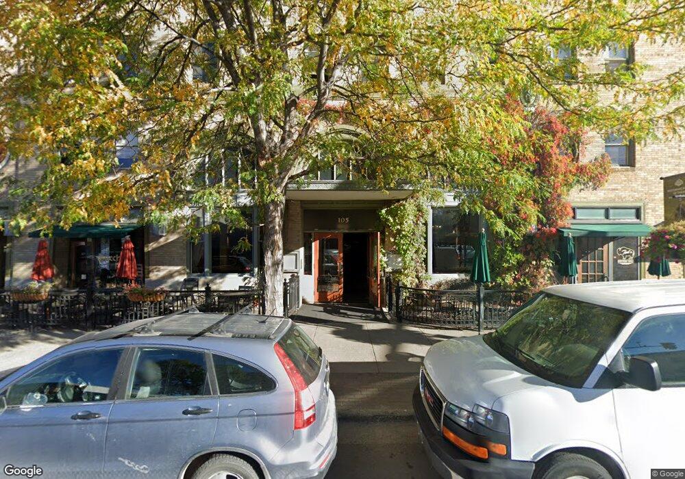
105 W Main St Bozeman, MT 59715
South Central NeighborhoodEstimated Value: $833,000
Studio
1
Bath
3,306
Sq Ft
$252/Sq Ft
Est. Value
About This Home
This home is located at 105 W Main St, Bozeman, MT 59715 and is currently estimated at $833,000, approximately $251 per square foot. 105 W Main St is a home located in Gallatin County with nearby schools including Whittier School, Chief Joseph Middle School, and Bozeman High School.
Ownership History
Date
Name
Owned For
Owner Type
Purchase Details
Closed on
May 4, 2012
Sold by
Baxter 4A Llc
Bought by
Baxter Main Llc
Current Estimated Value
Home Financials for this Owner
Home Financials are based on the most recent Mortgage that was taken out on this home.
Original Mortgage
$123,071
Interest Rate
3.34%
Mortgage Type
Purchase Money Mortgage
Create a Home Valuation Report for This Property
The Home Valuation Report is an in-depth analysis detailing your home's value as well as a comparison with similar homes in the area
Home Values in the Area
Average Home Value in this Area
Purchase History
| Date | Buyer | Sale Price | Title Company |
|---|---|---|---|
| Baxter Main Llc | -- | Security Title Company | |
| Baxter Main Llc | -- | Security Title Company |
Source: Public Records
Mortgage History
| Date | Status | Borrower | Loan Amount |
|---|---|---|---|
| Previous Owner | Baxter Main Llc | $123,071 | |
| Previous Owner | Baxter Main Llc | $171,024 |
Source: Public Records
Tax History
| Year | Tax Paid | Tax Assessment Tax Assessment Total Assessment is a certain percentage of the fair market value that is determined by local assessors to be the total taxable value of land and additions on the property. | Land | Improvement |
|---|---|---|---|---|
| 2025 | -- | $3,158,952 | $0 | $0 |
| 2024 | -- | $4,969,028 | $0 | $0 |
| 2023 | $0 | $4,969,028 | $0 | $0 |
| 2022 | $0 | $3,142,019 | $0 | $0 |
| 2021 | $0 | $3,142,019 | $0 | $0 |
| 2020 | $0 | $1,955,268 | $0 | $0 |
| 2019 | $0 | $1,955,268 | $0 | $0 |
| 2018 | $0 | $0 | $0 | $0 |
| 2017 | $0 | $0 | $0 | $0 |
| 2016 | -- | $0 | $0 | $0 |
| 2015 | -- | $0 | $0 | $0 |
| 2014 | -- | $0 | $0 | $0 |
Source: Public Records
Map
Nearby Homes
- 37 W Main St Unit A
- 5 W Mendenhall St Unit 510
- 5 W Mendenhall St Unit 410
- 5 W Mendenhall St Unit 414
- 19 E Lamme St
- 201 & 201 1/2 N Black Ave
- 209 S Tracy Ave
- 315 N Tracy Ave Unit 207
- 315 N Tracy Ave Unit 604
- 315 N Tracy Ave Unit 301
- 315 N Tracy Ave Unit 406
- 315 N Tracy Ave Unit 308
- 315 N Tracy Ave Unit 407
- 315 N Tracy Ave Unit 104
- 315 N Tracy Ave Unit 203
- 315 N Tracy Ave Unit 503
- 315 N Tracy Ave Unit 107
- 301 N Black Ave
- 309 N Black Ave
- 418 W Babcock St
Your Personal Tour Guide
Ask me questions while you tour the home.