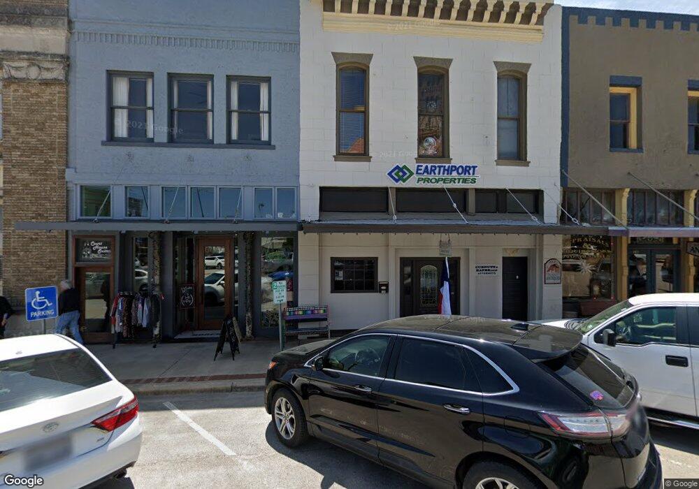
105 W Main St Decatur, TX 76234
Estimated Value: $606,427
--
Bed
--
Bath
1,938
Sq Ft
$313/Sq Ft
Est. Value
About This Home
This home is located at 105 W Main St, Decatur, TX 76234 and is currently priced at $606,427, approximately $312 per square foot. 105 W Main St is a home located in Wise County with nearby schools including Decatur High School and Victory Christian Academy.
Ownership History
Date
Name
Owned For
Owner Type
Purchase Details
Closed on
Oct 8, 2021
Sold by
Ew Moran Llc
Bought by
Chwd Holdings Llc
Current Estimated Value
Home Financials for this Owner
Home Financials are based on the most recent Mortgage that was taken out on this home.
Original Mortgage
$322,400
Outstanding Balance
$272,606
Interest Rate
2.8%
Mortgage Type
New Conventional
Purchase Details
Closed on
Dec 21, 2010
Sold by
Gettys Janice
Bought by
E W Moran Llc
Create a Home Valuation Report for This Property
The Home Valuation Report is an in-depth analysis detailing your home's value as well as a comparison with similar homes in the area
Home Values in the Area
Average Home Value in this Area
Purchase History
| Date | Buyer | Sale Price | Title Company |
|---|---|---|---|
| Chwd Holdings Llc | $322,400 | New Title Company Name | |
| E W Moran Llc | -- | -- |
Source: Public Records
Mortgage History
| Date | Status | Borrower | Loan Amount |
|---|---|---|---|
| Open | Chwd Holdings Llc | $322,400 |
Source: Public Records
Tax History Compared to Growth
Tax History
| Year | Tax Paid | Tax Assessment Tax Assessment Total Assessment is a certain percentage of the fair market value that is determined by local assessors to be the total taxable value of land and additions on the property. | Land | Improvement |
|---|---|---|---|---|
| 2025 | $8,233 | $479,912 | $41,400 | $438,512 |
| 2024 | $8,233 | $452,297 | $13,800 | $438,497 |
| 2023 | $8,205 | $452,297 | $13,800 | $438,497 |
| 2022 | $6,931 | $316,484 | $13,800 | $302,684 |
| 2021 | $5,715 | $250,435 | $13,800 | $236,635 |
| 2020 | $4,063 | $173,232 | $13,800 | $159,432 |
| 2019 | $4,294 | $173,232 | $13,800 | $159,432 |
| 2018 | $4,875 | $188,550 | $8,280 | $180,270 |
| 2017 | $4,259 | $164,080 | $8,280 | $155,800 |
| 2016 | $4,668 | $179,840 | $8,280 | $171,560 |
| 2015 | -- | $179,840 | $8,280 | $171,560 |
| 2014 | -- | $178,690 | $8,280 | $170,410 |
Source: Public Records
Map
Nearby Homes
- 1 S Martin Extension
- 401 S Holman St
- 305 E Shoemaker St
- TBD Farm To Market 51
- 407 N Lane St
- 601 W Brady St
- 204 W Collins St
- 709 S Church St
- 700 N Church St
- 506 E Main St
- 602 N Cates St
- 101 E Mulberry St
- 805 Hollyn Dr
- 809 Hollyn Dr
- 813 Hollyn Dr
- 802 N Church St
- 200 W Hale Ave
- 903 N Miller St
- 604 E Collins St
- 304 Cyndilu Ln