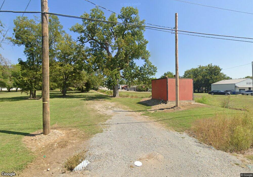
105 W Main St Locust Grove, OK 74352
Estimated Value: $35,213
--
Bed
--
Bath
2,000
Sq Ft
$18/Sq Ft
Est. Value
About This Home
This home is located at 105 W Main St, Locust Grove, OK 74352 and is currently estimated at $35,213, approximately $17 per square foot. 105 W Main St is a home located in Mayes County with nearby schools including Locust Grove Early Lrning Center, Locust Grove Upper Elementary School, and Locust Grove Middle School.
Ownership History
Date
Name
Owned For
Owner Type
Purchase Details
Closed on
Dec 16, 2020
Sold by
Noble Lequeta and Noble Lequeta A
Bought by
Noble Ronlad L and Noble Jessica D
Current Estimated Value
Purchase Details
Closed on
Oct 8, 2019
Sold by
West Fred and West Linda
Bought by
Noble Ronald L and Noble Jessica D
Purchase Details
Closed on
Oct 6, 2006
Sold by
T&Ck Inc
Bought by
West Fred and West Linda
Purchase Details
Closed on
Dec 31, 2001
Sold by
Sci and Dunlap
Bought by
Key Timothy and Key Clara
Purchase Details
Closed on
Jan 10, 1995
Sold by
Kelly Funeral Home
Bought by
Dunlap Operating
Create a Home Valuation Report for This Property
The Home Valuation Report is an in-depth analysis detailing your home's value as well as a comparison with similar homes in the area
Home Values in the Area
Average Home Value in this Area
Purchase History
| Date | Buyer | Sale Price | Title Company |
|---|---|---|---|
| Noble Ronlad L | -- | None Available | |
| Noble Ronald L | $23,000 | Mayes County Abstract Co | |
| West Fred | $50,000 | None Available | |
| Key Timothy | $765,000 | -- | |
| Dunlap Operating | $1,000,000 | -- |
Source: Public Records
Tax History Compared to Growth
Tax History
| Year | Tax Paid | Tax Assessment Tax Assessment Total Assessment is a certain percentage of the fair market value that is determined by local assessors to be the total taxable value of land and additions on the property. | Land | Improvement |
|---|---|---|---|---|
| 2025 | $253 | $2,861 | $2,595 | $266 |
| 2024 | $253 | $2,725 | $2,595 | $130 |
| 2023 | $253 | $2,595 | $2,595 | $0 |
| 2022 | $234 | $2,595 | $2,595 | $0 |
| 2021 | $239 | $2,595 | $2,595 | $0 |
| 2020 | $243 | $2,595 | $2,595 | $0 |
| 2019 | $1,016 | $10,858 | $3,519 | $7,339 |
| 2018 | $1,037 | $10,858 | $3,519 | $7,339 |
| 2017 | $1,037 | $10,858 | $3,519 | $7,339 |
| 2016 | $1,013 | $10,858 | $3,519 | $7,339 |
| 2015 | $1,046 | $10,858 | $3,519 | $7,339 |
| 2014 | $1,046 | $10,858 | $3,519 | $7,339 |
Source: Public Records
Map
Nearby Homes
- 212 N Mayes St
- 1 W Ross St
- 8604 S County Road 4468
- 310 W Harrison
- 301 S Water St
- 415 N Broadway
- 000 Earl Smith Rd
- 00 Hill St
- 0 Peach St
- 815 S Cherokee St
- 715 S Cherokee St
- 608 S Cherokee St
- 57 Joe Koelsch Dr
- 0 Hwy 82 S Unit 2503331
- 0 Orange St
- 207 Orange St
- 10171 U S Highway 412
- 6164 E 578
- 6959 E 561 Rd
- 149 SE 4404 Loop
- 107-109 W Main
- 0 Main St Unit 1544343
- 104 E Broadway Blvd
- 104 E Broadway Blvd
- 116 W Main St
- 0 Iron Post Rd Unit 1632083
- 0 Iron Post Rd Unit 1711607
- 113 W Main St
- 112 S Broadway
- 104 E Main St
- 119 W Ross
- 0 412 Rd Unit 1544342
- 0 412 Rd Unit 1726872
- 121 N Mayes St
- 115 S Broadway St
- 209 N Broadway
- 108 S Broadway
- 104 W Main
- 22 E Ross St
- 206 N Broadway