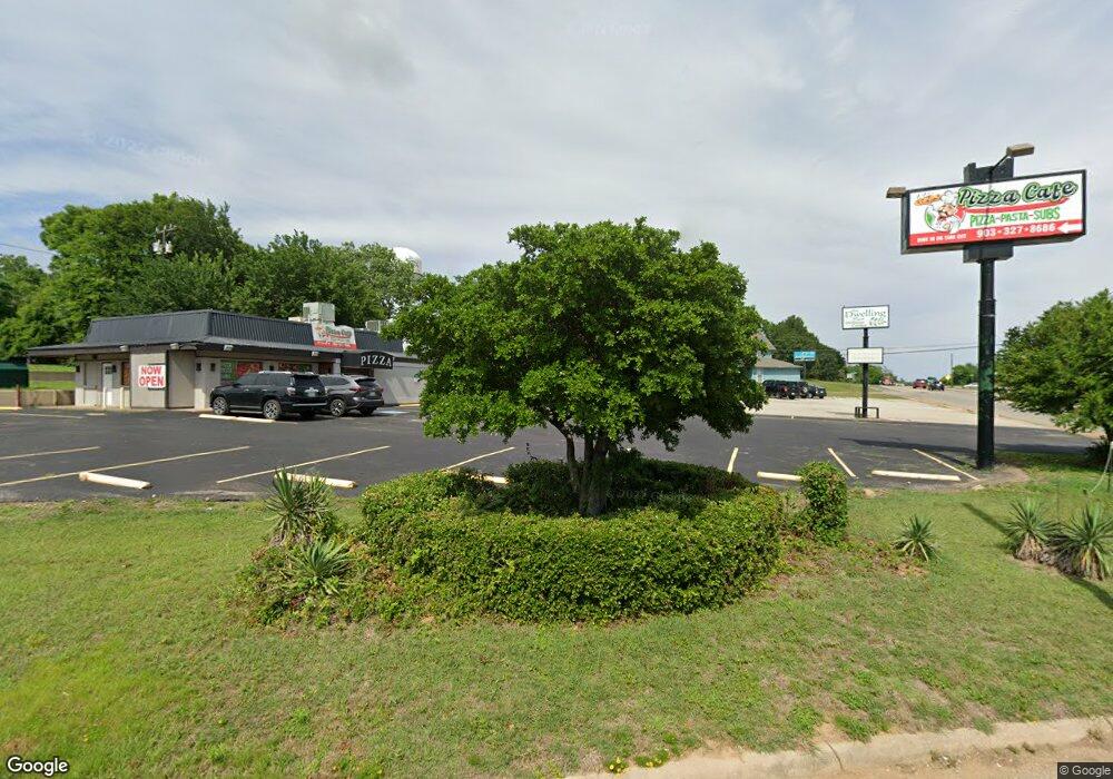
105 W Us Highway 69 Denison, TX 75021
--
Bed
--
Bath
1,350
Sq Ft
6,752
Sq Ft Lot
About This Home
This home is located at 105 W Us Highway 69, Denison, TX 75021. 105 W Us Highway 69 is a home located in Grayson County with nearby schools including Lamar Elementary School, Scott Middle School, and Denison High School.
Ownership History
Date
Name
Owned For
Owner Type
Purchase Details
Closed on
Jun 29, 2022
Sold by
Ljh Ltd
Bought by
Sheppard Jason E and Sheppard Cassi B
Home Financials for this Owner
Home Financials are based on the most recent Mortgage that was taken out on this home.
Original Mortgage
$150,000
Outstanding Balance
$59,609
Interest Rate
5.25%
Mortgage Type
New Conventional
Purchase Details
Closed on
Jun 16, 2010
Sold by
Cook Michael S
Bought by
Harber Lacy J and Harber Dorothy
Create a Home Valuation Report for This Property
The Home Valuation Report is an in-depth analysis detailing your home's value as well as a comparison with similar homes in the area
Home Values in the Area
Average Home Value in this Area
Purchase History
| Date | Buyer | Sale Price | Title Company |
|---|---|---|---|
| Sheppard Jason E | -- | Grayson County Title | |
| Harber Lacy J | -- | Grayson County Title |
Source: Public Records
Mortgage History
| Date | Status | Borrower | Loan Amount |
|---|---|---|---|
| Open | Sheppard Jason E | $150,000 |
Source: Public Records
Tax History Compared to Growth
Tax History
| Year | Tax Paid | Tax Assessment Tax Assessment Total Assessment is a certain percentage of the fair market value that is determined by local assessors to be the total taxable value of land and additions on the property. | Land | Improvement |
|---|---|---|---|---|
| 2025 | $3,494 | $168,357 | $44,753 | $123,604 |
| 2024 | $3,494 | $150,406 | $0 | $0 |
| 2023 | $2,840 | $125,338 | $36,720 | $88,618 |
| 2022 | $2,225 | $93,631 | $36,720 | $56,911 |
| 2021 | $2,584 | $102,462 | $12,711 | $89,751 |
| 2020 | $2,703 | $102,462 | $12,711 | $89,751 |
| 2019 | $1,738 | $63,175 | $12,711 | $50,464 |
| 2018 | $1,753 | $63,175 | $9,923 | $53,252 |
| 2017 | $1,405 | $50,230 | $9,923 | $40,307 |
| 2016 | $1,446 | $51,691 | $9,923 | $41,768 |
| 2015 | $1,561 | $55,242 | $9,923 | $45,319 |
| 2014 | $1,625 | $57,527 | $9,923 | $47,604 |
Source: Public Records
Map
Nearby Homes
- 1414 S Houston Ave
- 111 W Murray St
- 101 E Murray St
- 231 W Murray St
- TBD S Austin Ave
- 328 W Murray St
- 1901 S Lamar Ave
- 1903 S Lamar Ave
- 1905 S Lamar Ave
- 221 W Monterey St
- 408 W Heron St
- 1506 S Travis St
- 1110 S Houston Ave
- 309 W Monterey St
- 509 W Acheson St
- 517 W Bullock St
- 525 W Hanna St
- 129 Texas E
- 513 W Murray St
- TBD Bells Dr
- 101 W Us Highway 69
- 101 U S 69
- 108 W Acheson St
- 104 W Acheson St
- 114 W Acheson St
- 1503 S Houston Ave
- 82 U S 69
- 111 W Acheson St
- 115 W Acheson St
- 105 W Acheson St
- 119 W Acheson St
- 101 W Acheson St
- 1500 S Houston Ave
- 1418 S Houston Ave
- 110 W Murray St
- 114 W Murray St
- 106 W Murray St
- 122 W Murray St
- 100 W Murray St
- 1421 S Lamar Ave