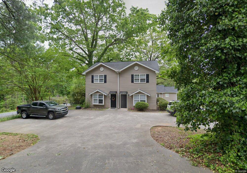
105 Walnut Ave Demorest, GA 30535
Estimated Value: $280,190 - $298,000
--
Bed
--
Bath
2,064
Sq Ft
$139/Sq Ft
Est. Value
About This Home
This home is located at 105 Walnut Ave, Demorest, GA 30535 and is currently estimated at $287,730, approximately $139 per square foot. 105 Walnut Ave is a home located in Habersham County with nearby schools including Demorest Elementary School, Wilbanks Middle School, and Habersham Success Academy.
Ownership History
Date
Name
Owned For
Owner Type
Purchase Details
Closed on
Aug 13, 2021
Sold by
Hunicutt Irma Gwinnett Wilban
Bought by
Hunnicutt Cletus Blaine
Current Estimated Value
Purchase Details
Closed on
Aug 12, 2021
Sold by
Hunnicutt Cletus Blaine
Bought by
Modified Properties Llc
Purchase Details
Closed on
Jan 17, 2014
Sold by
Hunnicutt Malcom
Bought by
Hunnicutt Malcolm and Hunnicutt Cletus
Home Financials for this Owner
Home Financials are based on the most recent Mortgage that was taken out on this home.
Original Mortgage
$117,108
Interest Rate
4.48%
Mortgage Type
New Conventional
Create a Home Valuation Report for This Property
The Home Valuation Report is an in-depth analysis detailing your home's value as well as a comparison with similar homes in the area
Home Values in the Area
Average Home Value in this Area
Purchase History
| Date | Buyer | Sale Price | Title Company |
|---|---|---|---|
| Hunnicutt Cletus Blaine | -- | -- | |
| Modified Properties Llc | -- | -- | |
| Hunicutt Cletus Blaine | -- | -- | |
| Hunnicutt Cletus Blaine | -- | -- | |
| Hunnicutt Malcolm | -- | -- |
Source: Public Records
Mortgage History
| Date | Status | Borrower | Loan Amount |
|---|---|---|---|
| Previous Owner | Hunnicutt Malcolm | $117,108 |
Source: Public Records
Tax History Compared to Growth
Tax History
| Year | Tax Paid | Tax Assessment Tax Assessment Total Assessment is a certain percentage of the fair market value that is determined by local assessors to be the total taxable value of land and additions on the property. | Land | Improvement |
|---|---|---|---|---|
| 2025 | $2,973 | $94,920 | $20,575 | $74,345 |
| 2024 | $1,685 | $64,920 | $12,220 | $52,700 |
| 2023 | $1,608 | $64,324 | $12,220 | $52,104 |
| 2022 | $1,434 | $55,012 | $9,776 | $45,236 |
| 2021 | $1,331 | $51,292 | $8,800 | $42,492 |
| 2020 | $1,197 | $44,500 | $7,332 | $37,168 |
| 2019 | $1,198 | $44,500 | $7,332 | $37,168 |
| 2018 | $1,156 | $43,280 | $6,112 | $37,168 |
| 2017 | $1,072 | $39,932 | $4,888 | $35,044 |
| 2016 | $1,041 | $99,830 | $4,888 | $35,044 |
| 2015 | $1,029 | $99,830 | $4,888 | $35,044 |
| 2014 | $1,116 | $106,320 | $4,888 | $37,640 |
| 2013 | -- | $42,528 | $4,888 | $37,640 |
Source: Public Records
Map
Nearby Homes
- 160 Ohio St
- 876 Central Ave
- 274 & 278 N Hazel Ave
- 523 Wauka Dr
- 539 Wauka Dr
- 545 Wauka Dr
- 515 Wauka Dr
- 536 Wauka Dr
- 544 Wauka Dr
- 158 Saluda Dr
- Plan 1709 at Habersham Meadows
- Plan 1902 at Habersham Meadows
- Plan 2604 at Habersham Meadows
- Plan 1602-2 at Habersham Meadows
- Plan 3119 at Habersham Meadows
- Plan 2628 at Habersham Meadows
- Plan 2131 at Habersham Meadows
- Plan 2100 at Habersham Meadows
- Plan 2408 at Habersham Meadows
- Plan 3105 at Habersham Meadows
- 410 Holley St
- 350 Holley St
- 332 Holley St
- 183 Walnut Ave
- 427 Holley St
- 314 Holley St
- 314 Holly St
- 155 Tennessee St
- 444 Holley St
- 441 Holley St
- 285 Holley St
- 375 Cedar Ave
- 395 Cedar Ave
- 0 Holly St Unit 7370517
- 0 Holly St Unit 8824046
- 0 Holly St Unit 8511301
- 0 Holly St Unit 8328093
- 0 Holly St Unit 8216492
- 0 Holly St Unit 7641823
- 0 Holly St Unit 3040482