105 Walnut Branch Ct Waynesboro, GA 30830
Estimated Value: $374,000 - $618,000
4
Beds
3
Baths
3,422
Sq Ft
$155/Sq Ft
Est. Value
About This Home
This home is located at 105 Walnut Branch Ct, Waynesboro, GA 30830 and is currently estimated at $531,338, approximately $155 per square foot. 105 Walnut Branch Ct is a home located in Burke County with nearby schools including Burke County High School, Burkehaven Christian School, and Waynesboro Mennonite School.
Ownership History
Date
Name
Owned For
Owner Type
Purchase Details
Closed on
Dec 29, 2004
Sold by
Deason Darvin
Bought by
Farrow Billy G
Current Estimated Value
Purchase Details
Closed on
Apr 27, 2001
Sold by
Cohen Porter B
Bought by
Deason Darvin
Create a Home Valuation Report for This Property
The Home Valuation Report is an in-depth analysis detailing your home's value as well as a comparison with similar homes in the area
Home Values in the Area
Average Home Value in this Area
Purchase History
| Date | Buyer | Sale Price | Title Company |
|---|---|---|---|
| Farrow Billy G | $265,000 | -- | |
| Farrow Billy G | $265,000 | -- | |
| Deason Darvin | $18,000 | -- |
Source: Public Records
Tax History Compared to Growth
Tax History
| Year | Tax Paid | Tax Assessment Tax Assessment Total Assessment is a certain percentage of the fair market value that is determined by local assessors to be the total taxable value of land and additions on the property. | Land | Improvement |
|---|---|---|---|---|
| 2024 | $3,146 | $163,336 | $21,056 | $142,280 |
| 2023 | $3,129 | $148,472 | $11,186 | $137,286 |
| 2022 | $2,716 | $129,166 | $11,186 | $117,980 |
| 2021 | $2,392 | $111,303 | $11,186 | $100,117 |
| 2020 | $2,396 | $111,303 | $11,186 | $100,117 |
| 2019 | $2,225 | $101,802 | $11,186 | $90,616 |
| 2018 | $2,225 | $101,802 | $11,186 | $90,616 |
| 2017 | $2,314 | $105,450 | $11,186 | $94,264 |
| 2016 | $2,317 | $104,874 | $11,186 | $93,688 |
| 2015 | $2,361 | $106,028 | $11,186 | $94,842 |
| 2014 | $2,379 | $106,028 | $11,186 | $94,842 |
| 2013 | -- | $106,028 | $11,186 | $94,842 |
Source: Public Records
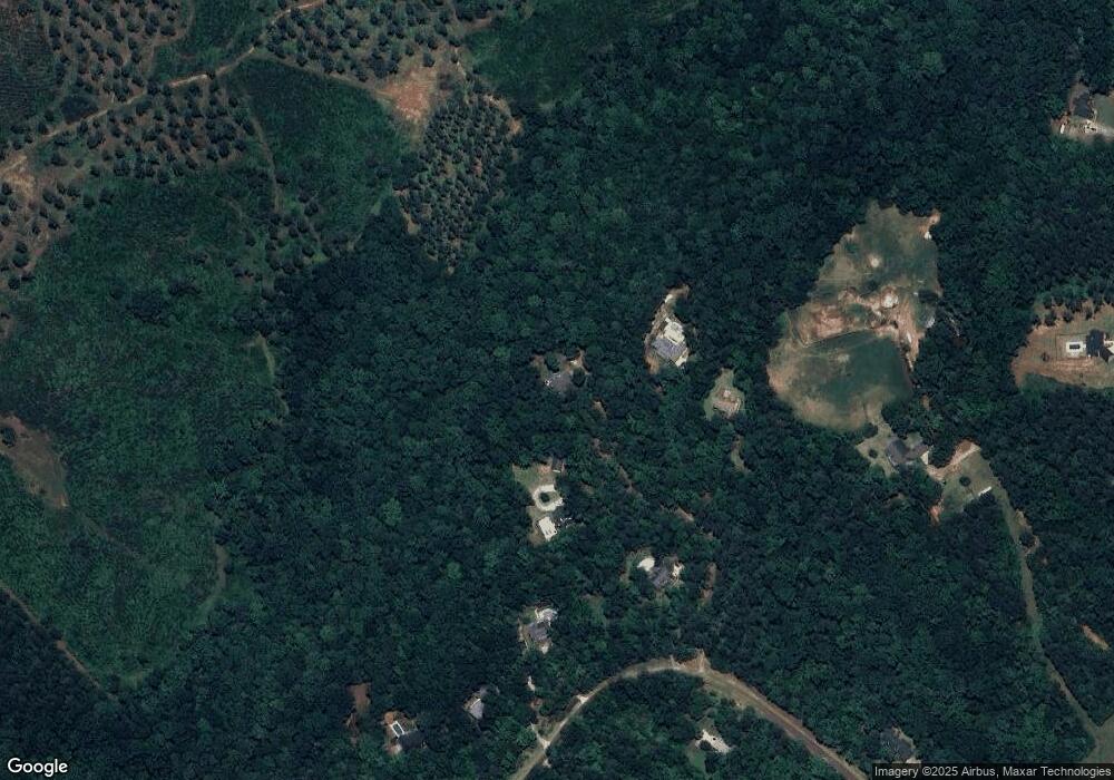
Map
Nearby Homes
- 37 Dr
- 110 Vanna Ln
- 230 Crestridge Dr
- 117 E 13th St
- 0 Penn St
- 0 Spread Oak Rd Unit 548018
- 0 Spread Oak Rd Unit 538280
- 855 Academy Ave
- 412 W 9th St
- 829 Railroad Ave
- 816 Perry St
- 827 Railroad Ave
- 0 Railroad Ave
- 825 Railroad Ave
- 810 Cedar Dr
- 0 Highway 25 S Unit 452487
- 417 E 7th St
- 711 Stone Ave
- 506 Holly Dr
- 717 Dowell Ave
- 104 Walnut Branch Ct
- 409 Walnut Branch Ct
- 102 Walnut Branch Ct
- 101 Walnut Branch Ct
- 236 Crest Ridge Dr
- 238 Crest Ridge Dr
- 232 Crest Ridge Dr
- 240 Crest Ridge Dr
- 229 Crest Ridge Dr
- 229 Crestridge Dr
- 228 Crest Ridge Dr
- 227 Crest Ridge Dr
- 537 Crest Ridge Dr
- 767 Crest Ridge Dr
- 225 Crest Ridge Dr
- 1159 U S 25
- 1159 Us Highway 25 N
- 226 Crest Ridge Dr
- 226 Crest Ridge Dr