105 Wc Henson Dr Blairsville, GA 30512
Estimated Value: $444,000 - $699,000
3
Beds
2
Baths
2,168
Sq Ft
$264/Sq Ft
Est. Value
About This Home
This home is located at 105 Wc Henson Dr, Blairsville, GA 30512 and is currently estimated at $571,629, approximately $263 per square foot. 105 Wc Henson Dr is a home located in Union County with nearby schools including Union County Primary School, Union County Elementary School, and Union County Middle School.
Ownership History
Date
Name
Owned For
Owner Type
Purchase Details
Closed on
Mar 13, 2023
Sold by
Henson Frances D
Bought by
Hughes Leslie H and Collins Melissa H
Current Estimated Value
Purchase Details
Closed on
May 8, 2007
Sold by
Henson William C
Bought by
Henson William C and Hughes Leslie Henson
Purchase Details
Closed on
Jun 6, 1958
Bought by
Henson William C
Create a Home Valuation Report for This Property
The Home Valuation Report is an in-depth analysis detailing your home's value as well as a comparison with similar homes in the area
Home Values in the Area
Average Home Value in this Area
Purchase History
| Date | Buyer | Sale Price | Title Company |
|---|---|---|---|
| Hughes Leslie H | -- | -- | |
| Henson William C | -- | -- | |
| Henson William C | $9,000 | -- |
Source: Public Records
Tax History Compared to Growth
Tax History
| Year | Tax Paid | Tax Assessment Tax Assessment Total Assessment is a certain percentage of the fair market value that is determined by local assessors to be the total taxable value of land and additions on the property. | Land | Improvement |
|---|---|---|---|---|
| 2024 | $1,815 | $230,268 | $94,520 | $135,748 |
| 2023 | $1,867 | $224,788 | $94,520 | $130,268 |
| 2022 | $1,553 | $195,608 | $87,520 | $108,088 |
| 2021 | $1,505 | $174,608 | $87,520 | $87,088 |
| 2020 | $1,056 | $131,280 | $83,200 | $48,080 |
| 2019 | $991 | $131,280 | $83,200 | $48,080 |
| 2018 | $2,306 | $131,280 | $83,200 | $48,080 |
| 2017 | $965 | $131,280 | $83,200 | $48,080 |
| 2016 | $963 | $131,280 | $83,200 | $48,080 |
| 2015 | $966 | $131,280 | $83,200 | $48,080 |
| 2013 | -- | $131,279 | $83,200 | $48,079 |
Source: Public Records
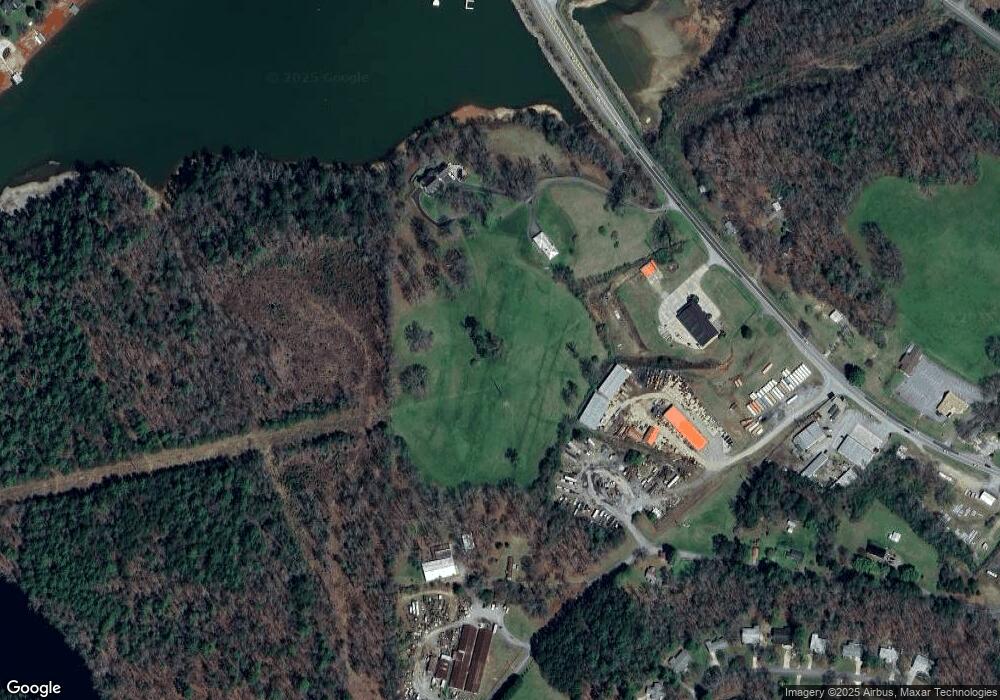
Map
Nearby Homes
- 200 Viewpoint Ln
- 117 Valley View Ct
- 0 Arbor Acres Farm Rd Unit 7657969
- 0 Arbor Acres Farm Rd Unit 419199
- 0 Arbor Acres Farm Rd Unit 10615338
- LT 43 Broad Water Ct
- Lot 112 Highland Park
- 0 Loving Dr Unit 10624678
- Lot 44 the Arbor
- LOT 88 Thirteen Hundred
- LOT 16 Burnette Rd N
- 183 White Meadows Dr
- 27 Williams Cir
- 254 Canal Lake Rd
- 836 Pleasant Hill Rd
- 31 Clearview Ln Unit LOT 191
- 134 Birdie Ln Unit TRACT-1
- 134 Birdie Ln
- 103 B1 Birdie Ln
- 0 Oakwood Way Unit 195 10560080
- 19 the Farm@highland Park
- 337 Meeks Rd
- 960 Wesley Mountain Dr
- 946 Wesley Mountain Dr
- 970 Wesley Mountain Dr
- 521 Meeks Rd
- 926 Wesley Mountain Dr
- 908 Wesley Mountain Dr Unit 55
- 908 Wesley Mountain Dr
- 614 Meeks Rd
- LOT20 Highland Park
- LOT20 Highland Park Unit Lot 20
- 953 Wesley Mountain Dr
- 1423 Murphy Hwy
- 888 Wesley Mountain Dr
- 1021 Wesley Mountain Dr
- 881 Wesley Mountain Dr
- 171 Wc Henson Dr
- 874 Wesley Mountain Dr Unit 57
- 874 Wesley Mountain Dr