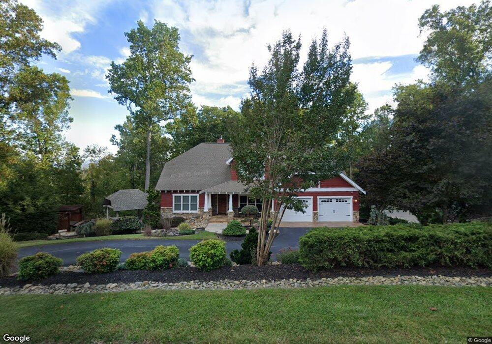
105 West Pointe Dr Hendersonville, NC 28792
Estimated Value: $807,000 - $1,079,000
--
Bed
5
Baths
3,924
Sq Ft
$243/Sq Ft
Est. Value
About This Home
This home is located at 105 West Pointe Dr, Hendersonville, NC 28792 and is currently estimated at $953,039, approximately $242 per square foot. 105 West Pointe Dr is a home located in Henderson County with nearby schools including Clear Creek Elementary School, Apple Valley Middle School, and North Henderson High School.
Ownership History
Date
Name
Owned For
Owner Type
Purchase Details
Closed on
Feb 25, 2016
Sold by
Pendleton George W
Bought by
Simpson Sonya G
Current Estimated Value
Home Financials for this Owner
Home Financials are based on the most recent Mortgage that was taken out on this home.
Original Mortgage
$456,000
Outstanding Balance
$362,592
Interest Rate
3.79%
Mortgage Type
New Conventional
Estimated Equity
$590,447
Create a Home Valuation Report for This Property
The Home Valuation Report is an in-depth analysis detailing your home's value as well as a comparison with similar homes in the area
Home Values in the Area
Average Home Value in this Area
Purchase History
| Date | Buyer | Sale Price | Title Company |
|---|---|---|---|
| Simpson Sonya G | $570,000 | -- |
Source: Public Records
Mortgage History
| Date | Status | Borrower | Loan Amount |
|---|---|---|---|
| Open | Simpson Sonya G | $456,000 |
Source: Public Records
Tax History Compared to Growth
Tax History
| Year | Tax Paid | Tax Assessment Tax Assessment Total Assessment is a certain percentage of the fair market value that is determined by local assessors to be the total taxable value of land and additions on the property. | Land | Improvement |
|---|---|---|---|---|
| 2025 | $4,594 | $841,400 | $81,500 | $759,900 |
| 2024 | $4,594 | $841,400 | $81,500 | $759,900 |
| 2023 | $4,563 | $835,800 | $81,500 | $754,300 |
| 2022 | $3,978 | $584,200 | $58,000 | $526,200 |
| 2021 | $3,978 | $584,200 | $58,000 | $526,200 |
| 2020 | $3,978 | $584,200 | $0 | $0 |
| 2019 | $3,886 | $570,600 | $0 | $0 |
| 2018 | $3,228 | $471,200 | $0 | $0 |
| 2017 | $3,228 | $471,200 | $0 | $0 |
| 2016 | $3,228 | $471,200 | $0 | $0 |
| 2015 | -- | $471,200 | $0 | $0 |
| 2014 | -- | $453,900 | $0 | $0 |
Source: Public Records
Map
Nearby Homes
- 208 Bragg Ct
- 125 Fulton Dr
- 103 Oakwood Place Unit 3
- 103 Oakwood Place Unit 4
- 1042 Brookside Camp Rd
- 256 Burge Mountain Rd
- 111 Laura Trace
- 65 Brookside Dr Unit 35
- 21 Fox Run Dr
- 49 Gosling Cir E
- 530 Burge Mountain Rd
- 71 Willow Bend
- LOT 149 Willow Bend Unit 149
- 811 Sunlight Ridge Dr
- 163 Ridgeview Dr
- 0 N Sunlight Ridge Ct
- 0 Empress Ln
- TBD Fiver Ln
- 150 Baton Ln
- 38 Scenic View Dr
- 207 Bragg Ct
- 207 Bragg Ct Unit 13
- 101 West Pointe Dr
- 101 W Pointe Dr
- 204 Bragg Ct
- 00 Sandpiper Palisades St Unit 98
- 106 West Pointe Dr
- 405 Burge Mountain Rd
- 109 West Pointe Dr
- 102 West Pointe Dr
- 49 Heather Ln
- 49 Heather Ln
- 330 Burge Mountain Rd Unit 8
- 330 Burge Mountain Rd
- 277 Burge Mountain Rd
- 113 W Pointe Dr
- 302 Benning Ct
- 306 Benning Ct
- 412 Burge Mountain Rd
- 411 Burge Mountain Rd