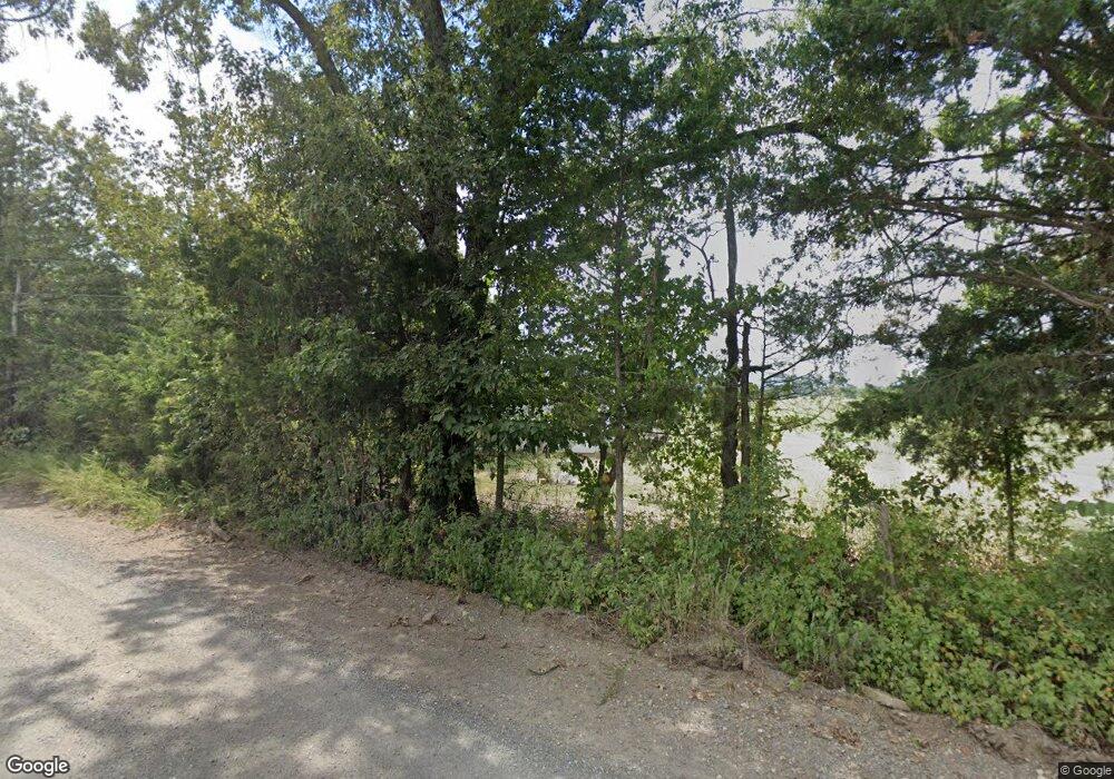
105 White Acres Ln Marshall, AR 72650
Estimated Value: $218,000 - $481,000
3
Beds
1
Bath
1,152
Sq Ft
$315/Sq Ft
Est. Value
About This Home
This home is located at 105 White Acres Ln, Marshall, AR 72650 and is currently estimated at $362,902, approximately $315 per square foot. 105 White Acres Ln is a home located in Searcy County with nearby schools including Marshall Elementary School, Leslie Elementary School, and Marshall High School.
Ownership History
Date
Name
Owned For
Owner Type
Purchase Details
Closed on
Mar 29, 2022
Sold by
Johnson Sharon I
Bought by
Halsted Patricia Ann
Current Estimated Value
Purchase Details
Closed on
Apr 3, 2015
Bought by
White Barbara and White Flowers Kathy
Purchase Details
Closed on
Mar 7, 2003
Bought by
White Mayo and Barbara Living
Purchase Details
Closed on
Dec 3, 2002
Bought by
White Mayo and White Barbara
Purchase Details
Closed on
Dec 1, 1994
Bought by
White Mayo and White Barbara
Purchase Details
Closed on
May 1, 1988
Bought by
Pryor
Create a Home Valuation Report for This Property
The Home Valuation Report is an in-depth analysis detailing your home's value as well as a comparison with similar homes in the area
Home Values in the Area
Average Home Value in this Area
Purchase History
| Date | Buyer | Sale Price | Title Company |
|---|---|---|---|
| Halsted Patricia Ann | $325,000 | First National Title | |
| White Barbara | -- | -- | |
| White Mayo | -- | -- | |
| White Mayo | -- | -- | |
| White Mayo | $12,800 | -- | |
| Pryor | $7,000 | -- |
Source: Public Records
Tax History Compared to Growth
Tax History
| Year | Tax Paid | Tax Assessment Tax Assessment Total Assessment is a certain percentage of the fair market value that is determined by local assessors to be the total taxable value of land and additions on the property. | Land | Improvement |
|---|---|---|---|---|
| 2024 | $1,670 | $51,620 | $2,520 | $49,100 |
| 2023 | $2,030 | $51,620 | $2,520 | $49,100 |
| 2022 | $1,973 | $51,610 | $2,520 | $49,090 |
| 2021 | $1,419 | $39,264 | $1,624 | $37,640 |
| 2020 | $1,419 | $39,264 | $1,624 | $37,640 |
| 2019 | $1,445 | $39,420 | $1,780 | $37,640 |
| 2018 | $1,470 | $39,420 | $1,780 | $37,640 |
| 2017 | $1,388 | $39,270 | $1,760 | $37,510 |
| 2016 | $1,350 | $36,592 | $1,760 | $34,832 |
| 2014 | $1,233 | $37,122 | $1,760 | $35,362 |
Source: Public Records
Map
Nearby Homes
- 0 Crow Dr Unit 25022105
- 0 Crow Dr Unit 23743108
- 1826 Marsena Rd
- 00000 Crow Dr
- 000 W Crow Dr Hills
- 128 River Rd
- 0 Lick Fork Rd Unit 25036132
- 0 Lick Fork Rd Unit LotWP001 24664164
- 1018 River Rd
- 1171 Highway 377
- 1171 Hwy 377
- 0 Punkin Flat Rd Unit 23772165
- 0 Punkin Flat Rd Unit 25022106
- 1141
- 1141
- 1141 Wafted Lane Tract 3
- 1141 Wafted Lane Tract 4
- 1141 Wafted Lane Tract 5
- 12278 Arkansas 27
- 12278 S Hwy 27
- 185 White Acres Ln
- 227 Oxford Dr
- 1033 Marsena Rd
- 0 Marsena Rd Unit 125809
- 0 Marsena Rd Unit 126952
- 0 Marsena Rd Unit 126951
- 0 Marsena Rd Unit 126950
- 0 Marsena Rd Unit 17036875
- 1240 Marsena Rd
- 4544 Highway 74 W
- 138 Marsena Rd
- 000 Cow Dr
- 1094 Crow Dr
- 531 Shade Tree Rd
- 4274 Highway 74 W
- 911 Crow Dr
- 1485 Crow Dr
- 4217 Highway 74 W
- 128 +/- Crow Dr
- 20 acres +/- Crow Dr
