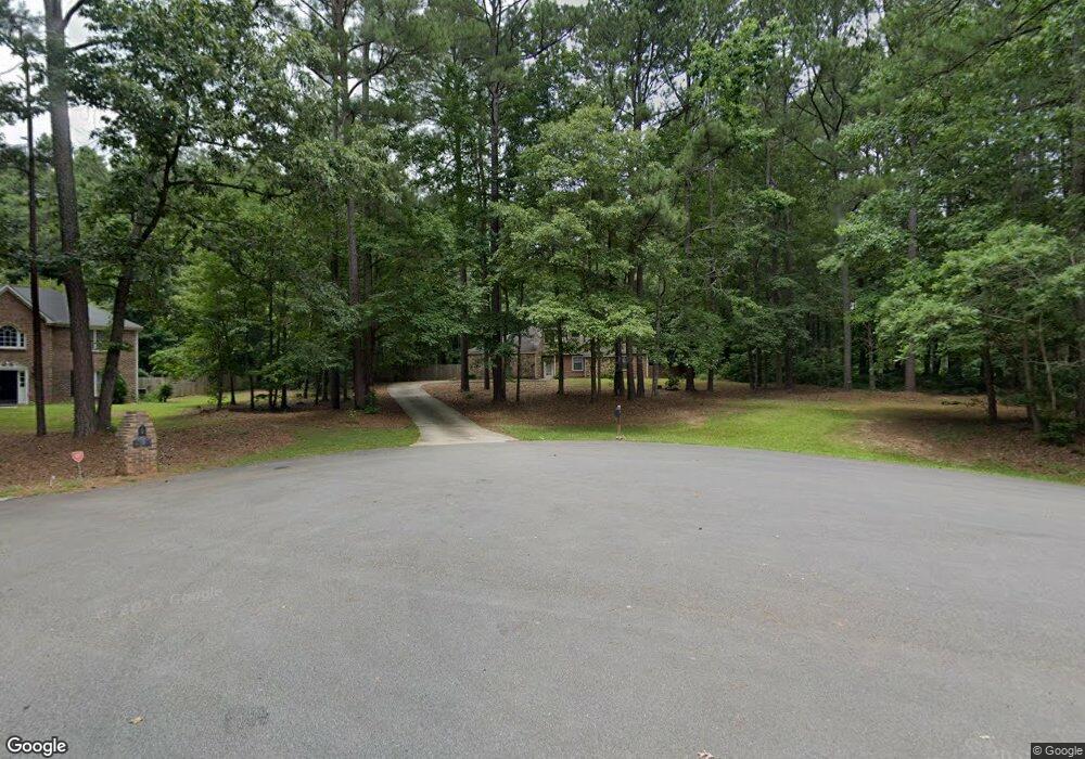
105 Woodsong Place Fayetteville, GA 30214
Estimated Value: $356,685 - $406,000
--
Bed
2
Baths
1,805
Sq Ft
$211/Sq Ft
Est. Value
About This Home
This home is located at 105 Woodsong Place, Fayetteville, GA 30214 and is currently estimated at $380,171, approximately $210 per square foot. 105 Woodsong Place is a home located in Fayette County with nearby schools including Bennett's Mill Middle School, Fayette County High School, and The Forest School: An Acton Academy.
Ownership History
Date
Name
Owned For
Owner Type
Purchase Details
Closed on
Mar 26, 2024
Sold by
Delaney Derron Shawn
Bought by
Delaney Derron Shawn and Delaney Amy Burnette
Current Estimated Value
Home Financials for this Owner
Home Financials are based on the most recent Mortgage that was taken out on this home.
Original Mortgage
$255,000
Outstanding Balance
$251,013
Interest Rate
6.64%
Mortgage Type
VA
Estimated Equity
$129,158
Purchase Details
Closed on
Oct 17, 2001
Sold by
Hightower John
Bought by
Hightower Karen
Create a Home Valuation Report for This Property
The Home Valuation Report is an in-depth analysis detailing your home's value as well as a comparison with similar homes in the area
Home Values in the Area
Average Home Value in this Area
Purchase History
| Date | Buyer | Sale Price | Title Company |
|---|---|---|---|
| Delaney Derron Shawn | -- | None Listed On Document | |
| Delaney Derron Shawn | $255,000 | None Listed On Document | |
| Hightower Karen | -- | -- |
Source: Public Records
Mortgage History
| Date | Status | Borrower | Loan Amount |
|---|---|---|---|
| Open | Delaney Derron Shawn | $255,000 |
Source: Public Records
Tax History Compared to Growth
Tax History
| Year | Tax Paid | Tax Assessment Tax Assessment Total Assessment is a certain percentage of the fair market value that is determined by local assessors to be the total taxable value of land and additions on the property. | Land | Improvement |
|---|---|---|---|---|
| 2024 | $3,887 | $143,192 | $24,800 | $118,392 |
| 2023 | $3,827 | $137,360 | $24,800 | $112,560 |
| 2022 | $2,931 | $105,360 | $24,800 | $80,560 |
| 2021 | $2,268 | $80,420 | $13,500 | $66,920 |
| 2020 | $2,095 | $73,900 | $13,500 | $60,400 |
| 2019 | $2,040 | $71,220 | $13,500 | $57,720 |
| 2018 | $1,848 | $63,780 | $13,500 | $50,280 |
| 2017 | $1,647 | $56,620 | $13,500 | $43,120 |
| 2016 | $1,500 | $50,420 | $13,500 | $36,920 |
| 2015 | $1,427 | $47,100 | $13,500 | $33,600 |
| 2014 | $1,344 | $43,500 | $13,500 | $30,000 |
| 2013 | -- | $41,500 | $0 | $0 |
Source: Public Records
Map
Nearby Homes
- 145 Woodsong Dr
- 0 Highway 92 N Unit 10594507
- 0 Highway 92 N Unit 7570733
- 550 Ginger Cake Rd
- 636 Ginger Cake Rd
- 671 Ginger Cake Rd
- 234 Stanley Rd
- 190 Rolison Way
- 140 Rolison Way
- 150 Rolison Way
- 235 Rolison Way
- 170 Liberty Dr
- 150 Bartow St Unit LOT 5
- 140 Bartow St Unit LOT 4
- 130 Reese St
- 115 Westside Way
- E OF 118 Stanley Rd
- 220 Eastmark Way
- 150 Hickory Rd
- 560 Hawthorne Dr
- 185 Woodsong Dr
- 115 Woodsong Place
- 115 Woodsong Place Unit 11
- 110 Woodsong Place
- 205 Woodsong Dr
- 175 Woodsong Dr
- 180 Woodsong Dr
- 0 Ginger Cake Trail Unit 2
- 0 Ginger Cake Trail Unit 8980788
- 0 Ginger Cake Trail Unit 7358077
- 0 Ginger Cake Trail Unit 7382830
- 0 Ginger Cake Trail Unit 8227747
- 0 Ginger Cake Trail Unit 8506678
- 165 Woodsong Dr
- 160 Woodsong Dr Unit 1
- 215 Woodsong Dr
- 180 Raymond Ct
- 220 Woodsong Dr
- 138 Graves Rd
- 0 Woodsong Dr Unit 3255261