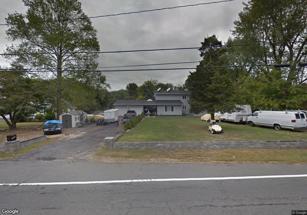
1050 Bennetts Mills Rd Jackson, NJ 08527
Estimated Value: $691,000 - $781,000
3
Beds
3
Baths
2,879
Sq Ft
$256/Sq Ft
Est. Value
About This Home
This home is located at 1050 Bennetts Mills Rd, Jackson, NJ 08527 and is currently estimated at $738,202, approximately $256 per square foot. 1050 Bennetts Mills Rd is a home located in Ocean County with nearby schools including Crawford-Rodriguez Elementary School, Christa McAuliffe Middle School, and Jackson Liberty High School.
Ownership History
Date
Name
Owned For
Owner Type
Purchase Details
Closed on
Feb 17, 2001
Sold by
Reilly Frank
Bought by
Libecci Daniel
Current Estimated Value
Home Financials for this Owner
Home Financials are based on the most recent Mortgage that was taken out on this home.
Original Mortgage
$164,800
Outstanding Balance
$59,840
Interest Rate
7.15%
Estimated Equity
$678,362
Create a Home Valuation Report for This Property
The Home Valuation Report is an in-depth analysis detailing your home's value as well as a comparison with similar homes in the area
Home Values in the Area
Average Home Value in this Area
Purchase History
| Date | Buyer | Sale Price | Title Company |
|---|---|---|---|
| Libecci Daniel | $206,000 | -- | |
| Libecci Daniel | $206,000 | -- |
Source: Public Records
Mortgage History
| Date | Status | Borrower | Loan Amount |
|---|---|---|---|
| Open | Libecci Daniel | $164,800 | |
| Closed | Libecci Daniel | $164,800 |
Source: Public Records
Tax History Compared to Growth
Tax History
| Year | Tax Paid | Tax Assessment Tax Assessment Total Assessment is a certain percentage of the fair market value that is determined by local assessors to be the total taxable value of land and additions on the property. | Land | Improvement |
|---|---|---|---|---|
| 2025 | $10,206 | $816,500 | $240,300 | $576,200 |
| 2024 | $9,818 | $372,600 | $103,800 | $268,800 |
| 2023 | $9,624 | $372,600 | $103,800 | $268,800 |
| 2022 | $9,624 | $372,600 | $103,800 | $268,800 |
| 2021 | $9,438 | $372,600 | $103,800 | $268,800 |
| 2020 | $9,308 | $372,600 | $103,800 | $268,800 |
| 2019 | $9,181 | $372,600 | $103,800 | $268,800 |
| 2018 | $8,961 | $372,600 | $103,800 | $268,800 |
| 2017 | $8,745 | $372,600 | $103,800 | $268,800 |
| 2016 | $8,596 | $372,600 | $103,800 | $268,800 |
| 2015 | $8,421 | $372,600 | $103,800 | $268,800 |
| 2014 | $8,197 | $372,600 | $103,800 | $268,800 |
Source: Public Records
Map
Nearby Homes
- 6 Sturm Ln
- 11 Ash Rd
- 52 Sturm Ln
- 1090 Bennetts Mills Rd
- 14 Salem Ln
- 28 Independence Ct
- 5 Hampton Dr
- 8 Hampton Dr
- 48 Colonial Ct Unit 113
- 1136 Aldrich Rd
- 22 Forge Ct Unit 65
- 8 Harfield Dr
- 126 Andover Rd
- 95 Marginal Rd
- 1 Andover Rd
- 17 Neal St
- 910 Woodlane Rd
- 7 Steven Place
- 22 Dina Place
- 222 Bartley Rd
- 1054 Bennetts Mills Rd
- 1040 Bennetts Mills Rd
- 2 Kimberly St
- 1 Ash Rd
- 1055 Bennetts Mills Rd
- 5 Ash Rd
- 1061 Bennetts Mills Rd
- 7 Ash Rd
- 4 Kimberly St
- 9 Ash Rd
- 5 Kimberly St
- 1068 Bennetts Mills Rd
- 1065 Bennetts Mills Rd
- 6 Kimberly St
- 7 Kimberly St
- 1069 Bennetts Mills Rd
- 8 Kimberly St
- 19 Mimosa Ct
- 10 Sturm Ln
- 22 Teakwood Dr