1050 Bolton Ct Bensalem, PA 19020
Estimated Value: $368,721 - $399,000
3
Beds
2
Baths
1,664
Sq Ft
$229/Sq Ft
Est. Value
About This Home
This home is located at 1050 Bolton Ct, Bensalem, PA 19020 and is currently estimated at $381,680, approximately $229 per square foot. 1050 Bolton Ct is a home located in Bucks County with nearby schools including School Lane Charter School, St Charles Borromeo School, and St. Ephrem School.
Ownership History
Date
Name
Owned For
Owner Type
Purchase Details
Closed on
Sep 19, 2008
Sold by
Laessig Catherine M
Bought by
Weinstein Arlene C
Current Estimated Value
Home Financials for this Owner
Home Financials are based on the most recent Mortgage that was taken out on this home.
Original Mortgage
$174,000
Interest Rate
6.17%
Mortgage Type
Purchase Money Mortgage
Purchase Details
Closed on
May 20, 2002
Sold by
Boake Edith Anita
Bought by
Laessig Catherine M
Home Financials for this Owner
Home Financials are based on the most recent Mortgage that was taken out on this home.
Original Mortgage
$138,395
Interest Rate
6.9%
Mortgage Type
FHA
Create a Home Valuation Report for This Property
The Home Valuation Report is an in-depth analysis detailing your home's value as well as a comparison with similar homes in the area
Home Values in the Area
Average Home Value in this Area
Purchase History
| Date | Buyer | Sale Price | Title Company |
|---|---|---|---|
| Weinstein Arlene C | $217,500 | Stout Title Inc | |
| Laessig Catherine M | $139,500 | Lawyers Title Insurance Co |
Source: Public Records
Mortgage History
| Date | Status | Borrower | Loan Amount |
|---|---|---|---|
| Previous Owner | Weinstein Arlene C | $174,000 | |
| Previous Owner | Laessig Catherine M | $138,395 |
Source: Public Records
Tax History Compared to Growth
Tax History
| Year | Tax Paid | Tax Assessment Tax Assessment Total Assessment is a certain percentage of the fair market value that is determined by local assessors to be the total taxable value of land and additions on the property. | Land | Improvement |
|---|---|---|---|---|
| 2025 | $4,899 | $22,440 | $3,000 | $19,440 |
| 2024 | $4,899 | $22,440 | $3,000 | $19,440 |
| 2023 | $4,760 | $22,440 | $3,000 | $19,440 |
| 2022 | $4,733 | $22,440 | $3,000 | $19,440 |
| 2021 | $4,733 | $22,440 | $3,000 | $19,440 |
| 2020 | $4,685 | $22,440 | $3,000 | $19,440 |
| 2019 | $4,581 | $22,440 | $3,000 | $19,440 |
| 2018 | $4,474 | $22,440 | $3,000 | $19,440 |
| 2017 | $4,446 | $22,440 | $3,000 | $19,440 |
| 2016 | $4,446 | $22,440 | $3,000 | $19,440 |
| 2015 | -- | $22,440 | $3,000 | $19,440 |
| 2014 | -- | $22,440 | $3,000 | $19,440 |
Source: Public Records
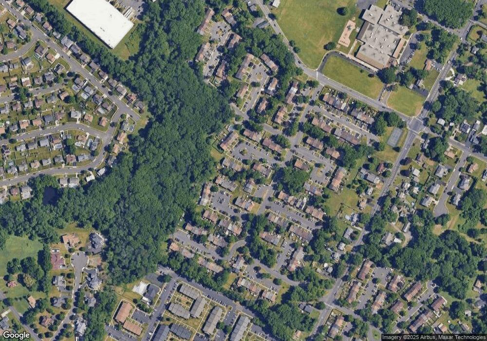
Map
Nearby Homes
- 1105 Sheffield Ct
- 3933 Wrexham Ct
- 3967 Gloucester Ct
- 3806 Bristol Pike
- 0 Neshaminy St Unit PABU2089046
- 3552 Bristol Pike
- 3546 Bristol Pike
- 209 Clover Ave
- 110 Neshaminy Rd
- 3280 Fairway Rd
- 3255 Parkview Dr
- 1164 William Penn Dr
- 3201 Fairway Rd
- 953 Farley Rd
- 4783 Meeting Rd
- 938 Ashton Rd
- 1881 Byberry Rd
- 543 Princess Ave
- 4744 Dunston Rd
- L:15 Dunston Rd
- 1052 Bolton Ct
- 1054 Bolton Ct
- 1056 Bolton Ct
- 1048 Bolton Ct
- 4006 Manchester Place
- 1058 Bolton Ct
- 4004 Manchester Place
- 1113 Sheffield Ct
- 1111 Sheffield Ct
- 1046 Bolton Ct
- 1115 Sheffield Ct
- 1060 Bolton Ct
- 1117 Sheffield Ct
- 1044 Bolton Ct
- 4000 Manchester Place
- 1119 Sheffield Ct
- 1042 Bolton Ct
- 1121 Sheffield Ct
- 1040 Bolton Ct
- 1109 Sheffield Ct