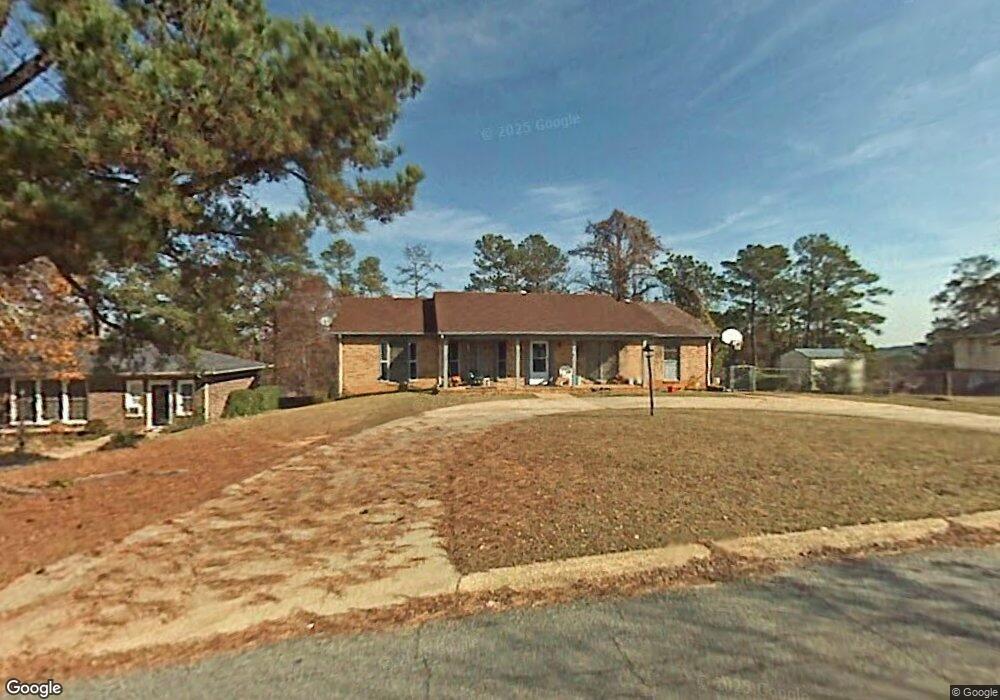
1050 Bunker Hill Rd Columbus, GA 31907
South Columbus NeighborhoodEstimated Value: $188,000 - $219,000
5
Beds
4
Baths
1,770
Sq Ft
$113/Sq Ft
Est. Value
About This Home
This home is located at 1050 Bunker Hill Rd, Columbus, GA 31907 and is currently estimated at $199,621, approximately $112 per square foot. 1050 Bunker Hill Rd is a home located in Muscogee County with nearby schools including East Columbus Magnet Academy, Spencer High School, and Pinehurst Christian School.
Ownership History
Date
Name
Owned For
Owner Type
Purchase Details
Closed on
Nov 6, 2009
Sold by
Mcgriff Charles H and Mcgriff Judy C
Bought by
Pinckney Christopher and Pinckney Lorene N
Current Estimated Value
Home Financials for this Owner
Home Financials are based on the most recent Mortgage that was taken out on this home.
Original Mortgage
$145,000
Interest Rate
4.92%
Mortgage Type
VA
Create a Home Valuation Report for This Property
The Home Valuation Report is an in-depth analysis detailing your home's value as well as a comparison with similar homes in the area
Home Values in the Area
Average Home Value in this Area
Purchase History
| Date | Buyer | Sale Price | Title Company |
|---|---|---|---|
| Pinckney Christopher | $145,000 | None Available |
Source: Public Records
Mortgage History
| Date | Status | Borrower | Loan Amount |
|---|---|---|---|
| Closed | Pinckney Christopher | $145,000 |
Source: Public Records
Tax History
| Year | Tax Paid | Tax Assessment Tax Assessment Total Assessment is a certain percentage of the fair market value that is determined by local assessors to be the total taxable value of land and additions on the property. | Land | Improvement |
|---|---|---|---|---|
| 2025 | -- | $69,024 | $10,376 | $58,648 |
| 2024 | -- | $69,024 | $10,376 | $58,648 |
| 2023 | $0 | $69,024 | $10,376 | $58,648 |
| 2022 | $0 | $52,820 | $10,376 | $42,444 |
| 2021 | $0 | $51,960 | $10,376 | $41,584 |
| 2020 | $0 | $51,960 | $10,376 | $41,584 |
| 2019 | $1,096 | $51,960 | $10,376 | $41,584 |
| 2018 | $0 | $51,960 | $10,376 | $41,584 |
| 2017 | $1,827 | $51,960 | $10,376 | $41,584 |
| 2016 | $0 | $57,492 | $6,225 | $51,267 |
| 2015 | $1,827 | $57,492 | $6,225 | $51,267 |
| 2014 | $1,830 | $57,492 | $6,225 | $51,267 |
| 2013 | -- | $57,492 | $6,225 | $51,267 |
Source: Public Records
Map
Nearby Homes
- 1120 Antietam Ct
- 1104 Antietam Ct
- 1108 Antietam Ct
- 1106 Antietam Ct
- 1123 Antietam Ct
- 5336 Gettysburg Way
- 849 Bunker Hill Rd
- 1238 Brandywine Dr
- 1513 Alamo Dr
- 4939 Aaron Dr
- 1406 Antietam Dr
- 5452 Gettysburg Way
- 4525 Village Ct
- 5310 Stoney Point Rd
- 5325 Roundabout Dr
- 1225 Rowell St
- 5185 Freedom Ridge Ct
- 4718 Velpoe Dr
- 5616 Monmouth Dr
- 1340 Bunker Ridge Ln
- 1044 Bunker Hill Rd
- 5203 Argonne Dr
- 1036 Bunker Hill Rd
- 5211 Argonne Dr
- 5144 Verdun Dr
- 5138 Verdun Dr
- 1055 Bunker Hill Rd
- 1047 Bunker Hill Rd
- 5152 Verdun Dr
- 5130 Verdun Dr
- 1026 Bunker Hill Rd
- 1103 Bunker Hill Rd
- 1039 Bunker Hill Rd
- 1108 Bunker Hill Rd
- 5208 Verdun Dr
- 5124 Verdun Dr
- 1111 Bunker Hill Rd
- 5214 Argonne Dr
- 1031 Bunker Hill Rd
- 5225 Argonne Dr
Your Personal Tour Guide
Ask me questions while you tour the home.