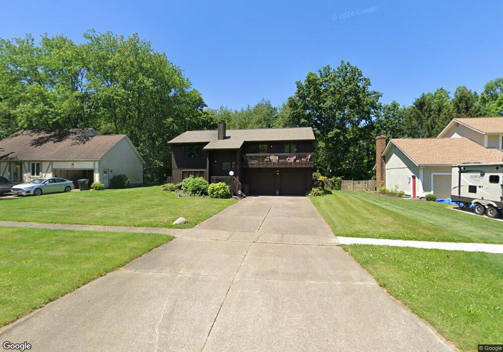
1050 Clark Rd Wadsworth, OH 44281
Estimated Value: $245,698 - $333,000
4
Beds
2
Baths
1,324
Sq Ft
$215/Sq Ft
Est. Value
About This Home
This home is located at 1050 Clark Rd, Wadsworth, OH 44281 and is currently estimated at $284,425, approximately $214 per square foot. 1050 Clark Rd is a home located in Medina County with nearby schools including Valley View Elementary School, Central Intermediate School, and Wadsworth Middle School.
Ownership History
Date
Name
Owned For
Owner Type
Purchase Details
Closed on
Jun 9, 2011
Sold by
Corbett Shirley A
Bought by
Barry Maxwell Shirley A and Barry Cecil
Current Estimated Value
Purchase Details
Closed on
Jun 3, 2011
Sold by
Maxwell Shirley A and Maxwell Barry Cecil
Bought by
Maxwell Shirley A
Purchase Details
Closed on
Jul 18, 1995
Sold by
Judith A Dempsey
Bought by
Shirley A Corbett
Home Financials for this Owner
Home Financials are based on the most recent Mortgage that was taken out on this home.
Original Mortgage
$108,000
Interest Rate
7.79%
Mortgage Type
New Conventional
Create a Home Valuation Report for This Property
The Home Valuation Report is an in-depth analysis detailing your home's value as well as a comparison with similar homes in the area
Home Values in the Area
Average Home Value in this Area
Purchase History
| Date | Buyer | Sale Price | Title Company |
|---|---|---|---|
| Barry Maxwell Shirley A | -- | -- | |
| Maxwell Shirley A | -- | -- | |
| Shirley A Corbett | $135,000 | -- |
Source: Public Records
Mortgage History
| Date | Status | Borrower | Loan Amount |
|---|---|---|---|
| Previous Owner | Shirley A Corbett | $108,000 |
Source: Public Records
Tax History
| Year | Tax Paid | Tax Assessment Tax Assessment Total Assessment is a certain percentage of the fair market value that is determined by local assessors to be the total taxable value of land and additions on the property. | Land | Improvement |
|---|---|---|---|---|
| 2024 | $2,252 | $76,050 | $19,690 | $56,360 |
| 2023 | $2,878 | $76,050 | $19,690 | $56,360 |
| 2022 | $2,895 | $76,050 | $19,690 | $56,360 |
| 2021 | $2,703 | $60,840 | $15,750 | $45,090 |
| 2020 | $2,327 | $60,840 | $15,750 | $45,090 |
| 2019 | $2,331 | $60,840 | $15,750 | $45,090 |
| 2018 | $2,094 | $52,330 | $14,370 | $37,960 |
| 2017 | $2,095 | $52,330 | $14,370 | $37,960 |
| 2016 | $2,138 | $52,330 | $14,370 | $37,960 |
| 2015 | $2,039 | $48,010 | $13,180 | $34,830 |
| 2014 | $2,184 | $48,010 | $13,180 | $34,830 |
| 2013 | $2,083 | $48,010 | $13,180 | $34,830 |
Source: Public Records
Map
Nearby Homes
- 190 Deepwood Dr
- 330 Deepwood Dr
- 346 Deepwood Dr
- 976 Rosemarie Cir Unit 68
- 1138 Ledgestone Dr
- 137 Stauffer Dr
- 1045 Ashley Taylor Ct Unit 14
- 290 Park Place Dr Unit 72
- 236 Knollwood Dr
- 1411 Tullamore Trail
- 579 West St
- 4896 Ridge Rd
- 681 Highland Ave
- 221 Franks Ave
- 531 Woodland Ave
- 468 High St
- 7553 John Arthur Ln
- 7565 John Arthur Ln
- 1250 Reserve Blvd
- 404 Shannon Dr
- 1056 Clark Rd
- 1040 Clark Rd
- 1064 Clark Rd
- 1032 Clark Rd
- 1070 Clark Rd
- 1024 Clark Rd
- 1049 Clark Rd
- 1055 Clark Rd
- 1041 Clark Rd
- 1033 Clark Rd
- 1078 Clark Rd Unit 1080
- 1016 Clark Rd
- 263 Smokerise Dr Unit 265
- 303 Brookpoint Cir
- 311 Brookpoint Cir
- 1025 Clark Rd
- 1086 Clark Rd
- 1010 Clark Rd
- 317 Brookpoint Cir
- 1017 Clark Rd
Your Personal Tour Guide
Ask me questions while you tour the home.