1050 Davison Dr Greensboro, GA 30642
Estimated Value: $2,026,260 - $3,224,000
5
Beds
5
Baths
2,965
Sq Ft
$833/Sq Ft
Est. Value
About This Home
This home is located at 1050 Davison Dr, Greensboro, GA 30642 and is currently estimated at $2,469,815, approximately $832 per square foot. 1050 Davison Dr is a home with nearby schools including Greene County High School.
Ownership History
Date
Name
Owned For
Owner Type
Purchase Details
Closed on
Jun 25, 2010
Sold by
Chriscoe Ralph D
Bought by
Chriscoe Ralph D and Chriscoe Christine F
Current Estimated Value
Home Financials for this Owner
Home Financials are based on the most recent Mortgage that was taken out on this home.
Original Mortgage
$515,200
Outstanding Balance
$336,314
Interest Rate
4.37%
Mortgage Type
Construction
Estimated Equity
$2,133,501
Purchase Details
Closed on
Apr 16, 1992
Bought by
Chriscoe Ralph D and Chriscoe Christine F
Create a Home Valuation Report for This Property
The Home Valuation Report is an in-depth analysis detailing your home's value as well as a comparison with similar homes in the area
Home Values in the Area
Average Home Value in this Area
Purchase History
| Date | Buyer | Sale Price | Title Company |
|---|---|---|---|
| Chriscoe Ralph D | -- | -- | |
| Chriscoe Ralph D | $113,800 | -- |
Source: Public Records
Mortgage History
| Date | Status | Borrower | Loan Amount |
|---|---|---|---|
| Open | Chriscoe Ralph D | $515,200 |
Source: Public Records
Tax History Compared to Growth
Tax History
| Year | Tax Paid | Tax Assessment Tax Assessment Total Assessment is a certain percentage of the fair market value that is determined by local assessors to be the total taxable value of land and additions on the property. | Land | Improvement |
|---|---|---|---|---|
| 2024 | $11,305 | $724,560 | $251,240 | $473,320 |
| 2023 | $12,560 | $692,840 | $236,240 | $456,600 |
| 2022 | $10,843 | $596,720 | $260,400 | $336,320 |
| 2021 | $9,732 | $501,400 | $205,600 | $295,800 |
| 2020 | $10,175 | $474,080 | $210,000 | $264,080 |
| 2019 | $10,332 | $474,080 | $210,000 | $264,080 |
| 2018 | $10,310 | $474,080 | $210,000 | $264,080 |
| 2017 | $9,605 | $470,114 | $210,000 | $260,114 |
| 2016 | $9,668 | $473,092 | $210,000 | $263,092 |
| 2015 | $9,525 | $473,092 | $210,000 | $263,092 |
| 2014 | $9,262 | $447,989 | $210,000 | $237,989 |
Source: Public Records
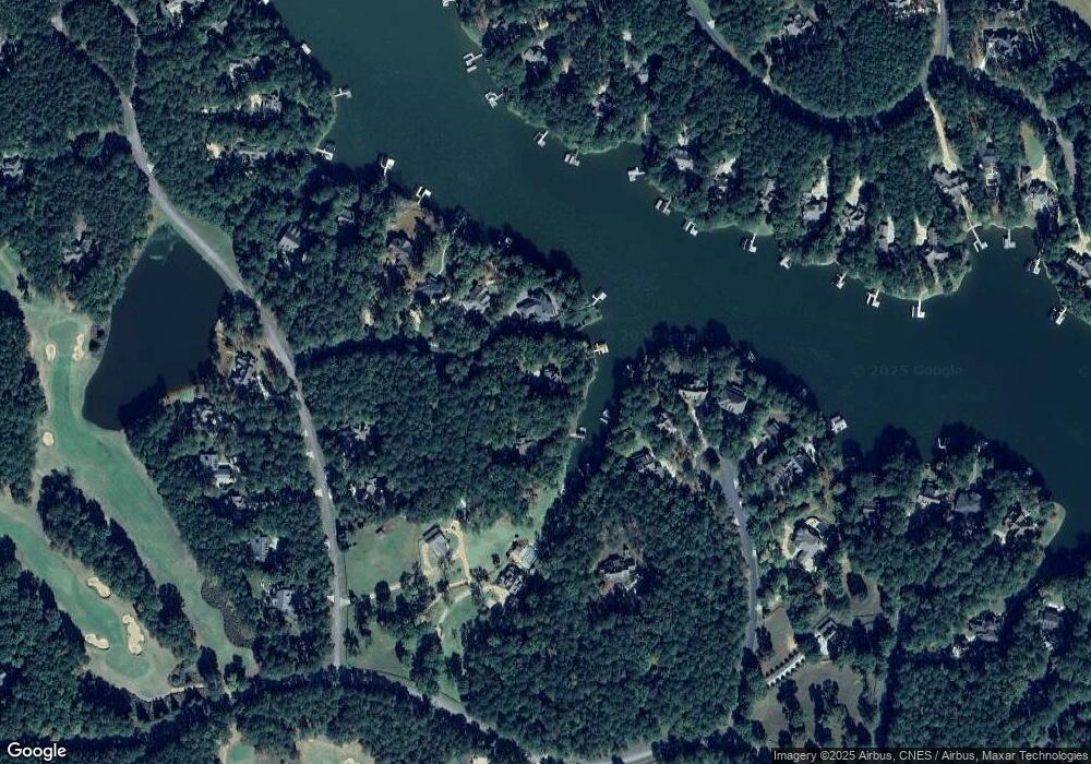
Map
Nearby Homes
- 1020 Davison Ln
- 1030 Pearls Ct
- 1241 Parrott Trace
- 1011 Cartwright Ln
- 1070 Sallies View
- 1080 Sallies View
- 1031 Lockets Trail
- 1041 Lockets Trail
- 2071 Flemings Knoll
- 1330 Parrott Trace
- 2701 Parrotts Pointe Rd
- 1030 Tappans Place
- 1181 Lockets Trail
- 1010 Planters Trail
- 1040 Centennial Post
- 1015 Planters Trail
- 1010 Callahans Ridge Rd
- 1010 Callahan's Ridge Rd
- 1021 Planters Trail
- 1060 Davison Dr
- 0 Callahans Ridge Rd Unit 7291958
- 0 Callahans Ridge Rd Unit LOT 18 2950287
- 0 Callahans Ridge Rd Unit 8793390
- 0 Callahans Ridge Rd Unit 8908353
- 0 Callahans Ridge Rd Unit 8075174
- 0 Callahans Ridge Rd Unit 8562938
- 0 Callahans Ridge Rd Unit 8673433
- 44A Davison Dr
- Lot 51 Davison Dr
- 1081 Davison Dr
- 1041 Davison Dr
- 1040 Davison Dr
- 1010 Davison Ln
- 1000 Davison Ln Unit 1000 Davison Lane
- 1030 Davison Dr
- 1020 Davison Dr
- 1021 Davison Dr
- 1111 Davison Dr
- 1030 Davison Ln