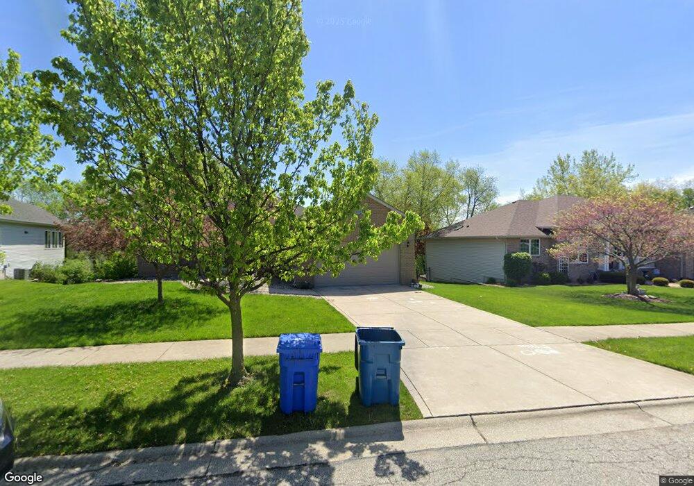
1050 Doe Path Ln Crown Point, IN 46307
Estimated Value: $452,000 - $519,000
3
Beds
2
Baths
1,767
Sq Ft
$269/Sq Ft
Est. Value
About This Home
This home is located at 1050 Doe Path Ln, Crown Point, IN 46307 and is currently estimated at $474,831, approximately $268 per square foot. 1050 Doe Path Ln is a home located in Lake County with nearby schools including Solon Robinson Elementary School, Colonel John Wheeler Middle School, and Crown Point High School.
Ownership History
Date
Name
Owned For
Owner Type
Purchase Details
Closed on
Aug 15, 2005
Sold by
Mathavorn Sam and Mathavorn Josefina M
Bought by
Shah Dhirenkumar J
Current Estimated Value
Home Financials for this Owner
Home Financials are based on the most recent Mortgage that was taken out on this home.
Original Mortgage
$254,025
Outstanding Balance
$134,812
Interest Rate
5.82%
Mortgage Type
Fannie Mae Freddie Mac
Estimated Equity
$340,019
Create a Home Valuation Report for This Property
The Home Valuation Report is an in-depth analysis detailing your home's value as well as a comparison with similar homes in the area
Home Values in the Area
Average Home Value in this Area
Purchase History
| Date | Buyer | Sale Price | Title Company |
|---|---|---|---|
| Shah Dhirenkumar J | -- | Chicago Title Insurance Comp |
Source: Public Records
Mortgage History
| Date | Status | Borrower | Loan Amount |
|---|---|---|---|
| Open | Shah Dhirenkumar J | $254,025 |
Source: Public Records
Tax History Compared to Growth
Tax History
| Year | Tax Paid | Tax Assessment Tax Assessment Total Assessment is a certain percentage of the fair market value that is determined by local assessors to be the total taxable value of land and additions on the property. | Land | Improvement |
|---|---|---|---|---|
| 2024 | $9,957 | $392,900 | $63,200 | $329,700 |
| 2023 | $4,012 | $362,300 | $63,200 | $299,100 |
| 2022 | $3,842 | $344,000 | $63,200 | $280,800 |
| 2021 | $3,715 | $332,800 | $52,800 | $280,000 |
| 2020 | $3,626 | $325,000 | $52,800 | $272,200 |
| 2019 | $3,536 | $313,100 | $52,800 | $260,300 |
| 2018 | $4,302 | $306,600 | $52,800 | $253,800 |
| 2017 | $4,306 | $303,700 | $52,800 | $250,900 |
| 2016 | $4,528 | $312,300 | $52,800 | $259,500 |
| 2014 | $4,086 | $302,600 | $52,800 | $249,800 |
| 2013 | $3,949 | $291,200 | $52,800 | $238,400 |
Source: Public Records
Map
Nearby Homes
- 11152 Putnam Dr
- 1220 Stillwater Pkwy
- 980 Stillwater Pkwy
- 1285 Greenview Place
- 1270 E Greenview Place
- 1433 Rainy Brook Way
- 12492 Washington St
- 1191 Churchill Ln
- Norfolk Plan at The Fountains
- Grant Plan at The Fountains
- 206 U S 231
- 10981 Thomas St
- 1150 Greenview Place
- 12566 Massachusetts St
- 183 W 126th Ave
- 508 W 117th Place
- 11664 Broadway
- 515 E 117th Place
- 991 Greenview Dr
- 809 W 126th Ct
- 1060 Doe Path Ln
- 1040 Doe Path Ln
- 11161 Putnam Dr
- 11162 Putnam Dr
- 223 Nomo Place
- 229 Nomo Place
- 11155 Putnam Dr
- 7804 E 118th Ave
- 11875 Rhode Island St
- 1900 E 110th Place
- 1800 E 110th Place
- 1780 E 110th Place
- 13167 Rutledge Place
- 13155 Rutledge Place
- 1865 E 110th Place
- 1885 E 110th Place
- 7595 E 119th Ave
- 11161 Putnam Dr
- 1785 E 110th Place
- 1835 E 110th Place