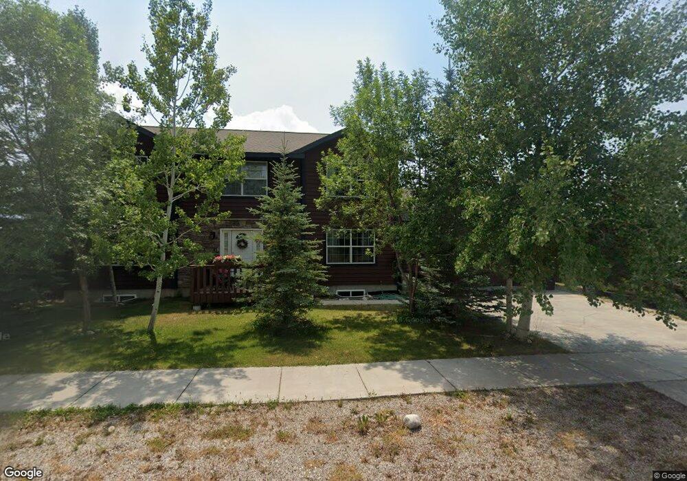
1050 E Ross Ave Driggs, ID 83422
Estimated Value: $766,000 - $935,000
3
Beds
3
Baths
2,275
Sq Ft
$383/Sq Ft
Est. Value
About This Home
This home is located at 1050 E Ross Ave, Driggs, ID 83422 and is currently estimated at $872,279, approximately $383 per square foot. 1050 E Ross Ave is a home located in Teton County with nearby schools including Driggs Elementary School, Teton High School, and The Learning Academy Of Teton Valley.
Ownership History
Date
Name
Owned For
Owner Type
Purchase Details
Closed on
Jun 16, 2010
Sold by
Antares Properties Llc
Bought by
Anderson Robert K
Current Estimated Value
Purchase Details
Closed on
Oct 18, 2008
Sold by
Antares Properties Llc
Bought by
Fine Justin and Fine Karen
Home Financials for this Owner
Home Financials are based on the most recent Mortgage that was taken out on this home.
Original Mortgage
$309,600
Interest Rate
6.09%
Mortgage Type
New Conventional
Create a Home Valuation Report for This Property
The Home Valuation Report is an in-depth analysis detailing your home's value as well as a comparison with similar homes in the area
Home Values in the Area
Average Home Value in this Area
Purchase History
| Date | Buyer | Sale Price | Title Company |
|---|---|---|---|
| Anderson Robert K | -- | -- | |
| Fine Justin | -- | -- |
Source: Public Records
Mortgage History
| Date | Status | Borrower | Loan Amount |
|---|---|---|---|
| Previous Owner | Fine Justin | $309,600 |
Source: Public Records
Tax History
| Year | Tax Paid | Tax Assessment Tax Assessment Total Assessment is a certain percentage of the fair market value that is determined by local assessors to be the total taxable value of land and additions on the property. | Land | Improvement |
|---|---|---|---|---|
| 2025 | $2,652 | $808,478 | $140,000 | $668,478 |
| 2024 | $2,544 | $786,939 | $120,000 | $666,939 |
| 2023 | $2,544 | $786,939 | $120,000 | $666,939 |
| 2022 | $2,789 | $657,867 | $100,000 | $557,867 |
| 2021 | $2,645 | $435,786 | $45,000 | $390,786 |
| 2020 | $2,530 | $343,018 | $38,000 | $305,018 |
| 2019 | $2,325 | $325,495 | $35,000 | $290,495 |
| 2018 | $2,168 | $294,045 | $32,000 | $262,045 |
| 2017 | $1,976 | $292,045 | $30,000 | $262,045 |
| 2016 | $1,758 | $252,010 | $26,000 | $226,010 |
| 2015 | $1,633 | $219,601 | $23,000 | $196,601 |
| 2011 | -- | $179,812 | $20,000 | $159,812 |
Source: Public Records
Map
Nearby Homes
- 1021 Farmers Trail
- 532 Palisade Trail
- 564 Palisade Trail
- 1135 Wind River Trail
- 1014 Dusty Trail
- 200 Aspen Meadows Rd
- 112 Aspen Meadows Rd Unit U36
- 624 Easy St
- 570 Easy St
- 135 Sagewood Dr
- 110 Sagewood Dr
- 1025 Cahuilla Rd
- 70 Baywood Dr
- 1045 Pawnee Rd
- 1046 Pawnee Rd
- 1030 Iroquois Ave
- 1016 Iroquois Ave
- TBD Ski Hill Rd
- 280 S 1000 E
- 201 E Ross Ave Unit B103
- 472 Palisade Trail
- 485 Booshway St
- 473 Booshway
- 454 Palisade Trail
- 461 Booshway
- 515 Booshway St
- 487 Palisade Trail
- 471 Palisade Trail Unit ID1310745P
- 471 Palisade Trail
- 449 Booshway
- 525 Booshway
- 503 Palisade Trail
- 440 Palisade Trail
- 455 Palisade Trail
- 455 Palisades Trail
- 519 Palisade Trail
- 535 Booshway
- 437 Booshway
- 439 Palisade Trail
- 548 Palisade Trail
Your Personal Tour Guide
Ask me questions while you tour the home.