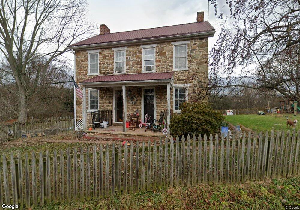
1050 Hickory Rd Unit 2 Littlestown, PA 17340
Estimated Value: $315,000 - $565,000
4
Beds
2
Baths
2,600
Sq Ft
$168/Sq Ft
Est. Value
About This Home
This home is located at 1050 Hickory Rd Unit 2, Littlestown, PA 17340 and is currently estimated at $436,854, approximately $168 per square foot. 1050 Hickory Rd Unit 2 is a home located in Adams County with nearby schools including Rolling Acres El School, Maple Avenue Middle School, and Littlestown Senior High School.
Ownership History
Date
Name
Owned For
Owner Type
Purchase Details
Closed on
Nov 21, 2019
Sold by
Sheppard Thomas H and Sheppard S
Bought by
Khtnox Llc
Current Estimated Value
Home Financials for this Owner
Home Financials are based on the most recent Mortgage that was taken out on this home.
Original Mortgage
$185,600
Outstanding Balance
$163,765
Interest Rate
3.75%
Mortgage Type
New Conventional
Estimated Equity
$273,089
Purchase Details
Closed on
Jul 30, 1999
Bought by
Miller Robert C and Miller Joann M
Create a Home Valuation Report for This Property
The Home Valuation Report is an in-depth analysis detailing your home's value as well as a comparison with similar homes in the area
Home Values in the Area
Average Home Value in this Area
Purchase History
| Date | Buyer | Sale Price | Title Company |
|---|---|---|---|
| Khtnox Llc | $232,000 | None Available | |
| Miller Robert C | $250,000 | -- |
Source: Public Records
Mortgage History
| Date | Status | Borrower | Loan Amount |
|---|---|---|---|
| Open | Khtnox Llc | $185,600 |
Source: Public Records
Tax History Compared to Growth
Tax History
| Year | Tax Paid | Tax Assessment Tax Assessment Total Assessment is a certain percentage of the fair market value that is determined by local assessors to be the total taxable value of land and additions on the property. | Land | Improvement |
|---|---|---|---|---|
| 2025 | $3,861 | $199,200 | $71,000 | $128,200 |
| 2024 | $4,081 | $220,000 | $71,000 | $149,000 |
| 2023 | $5,968 | $220,000 | $71,000 | $149,000 |
| 2022 | $5,926 | $220,000 | $71,000 | $149,000 |
| 2021 | $5,720 | $220,000 | $71,000 | $149,000 |
| 2020 | $5,653 | $157,100 | $8,100 | $149,000 |
| 2019 | $5,536 | $157,100 | $8,100 | $149,000 |
| 2018 | $5,418 | $157,100 | $8,100 | $149,000 |
| 2017 | $2,510 | $157,100 | $8,100 | $149,000 |
| 2016 | -- | $157,100 | $8,100 | $149,000 |
| 2015 | -- | $156,400 | $7,400 | $149,000 |
| 2014 | -- | $155,800 | $6,800 | $149,000 |
Source: Public Records
Map
Nearby Homes
- 48 Cannon Ln Unit 105
- 89 Maple St Unit 68
- 27 Maple St
- 67 Cedarfield Dr
- 8 Maple St
- 138 Cedarfield Dr Unit 71
- 1 Hickory Ave
- 34 W Hanover St
- 25 Harvest Dr
- 230 W Crest View Ln
- 464 Locust Ln
- 3801 Baltimore Pike
- 824 Hancock Dr Unit 824
- 549 Grant Dr Unit 549
- 871 Sherman Dr Unit 871
- 202 Plunkert Rd Unit 2
- 729 Heritage Dr Unit 729
- 795 Burnside Dr Unit 795
- 820 Storms Store Rd
- 198 Longstreet Dr Unit 198
- 1061 Hickory Rd
- 981 Hickory Rd
- 122 Cannon Ln
- 120 Cannon Ln Unit 145
- 120 Cannon Ln
- 124 Cannon Ln
- 128 Cannon Ln
- 118 Cannon Ln
- 126 Cannon Ln
- 116 Cannon Ln
- 116 Cannon Ln Unit 143
- 114 Cannon Ln
- 112 Cannon Ln
- 112 Cannon Ln Unit 141
- 110 Cannon Ln Unit 140
- 108 Cannon Ln Unit 139
- 106 Cannon Ln
- 104 Cannon Ln Unit 137
- 102 Cannon Ln Unit 136