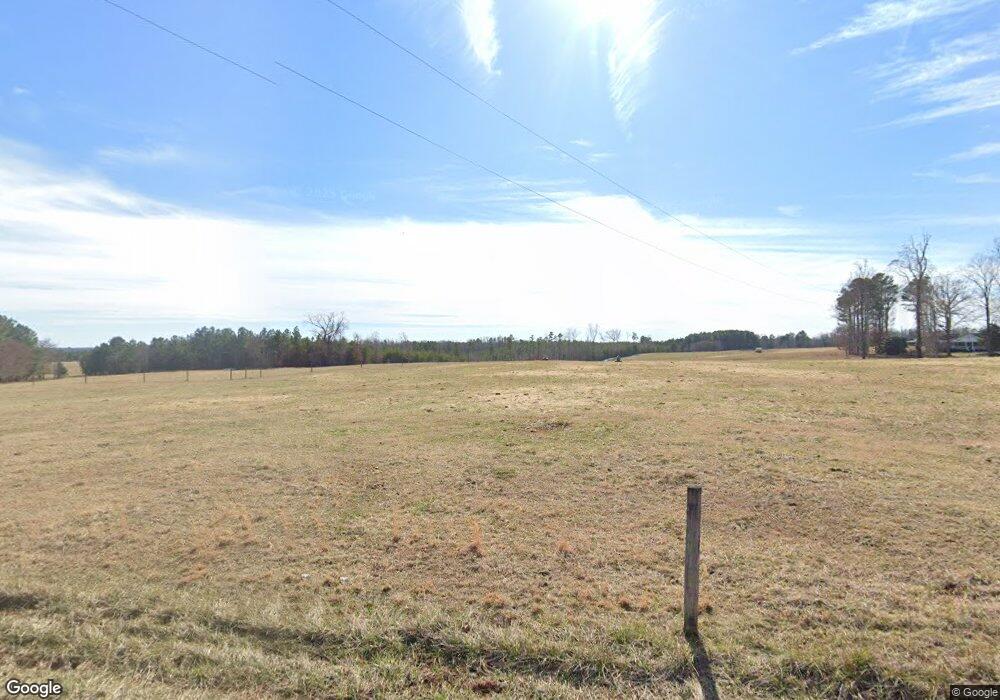
1050 Lowery Rd South Boston, VA 24592
Estimated Value: $229,000 - $269,000
3
Beds
3
Baths
2,030
Sq Ft
$119/Sq Ft
Est. Value
About This Home
This home is located at 1050 Lowery Rd, South Boston, VA 24592 and is currently estimated at $240,849, approximately $118 per square foot. 1050 Lowery Rd is a home located in Halifax County with nearby schools including Cluster Springs Elementary School, Halifax County Middle School, and Halifax County High School.
Ownership History
Date
Name
Owned For
Owner Type
Purchase Details
Closed on
Jan 16, 2025
Sold by
Conner Estelle H
Bought by
Pool Travis
Current Estimated Value
Home Financials for this Owner
Home Financials are based on the most recent Mortgage that was taken out on this home.
Original Mortgage
$200,305
Outstanding Balance
$198,881
Interest Rate
6.69%
Mortgage Type
New Conventional
Estimated Equity
$41,968
Create a Home Valuation Report for This Property
The Home Valuation Report is an in-depth analysis detailing your home's value as well as a comparison with similar homes in the area
Home Values in the Area
Average Home Value in this Area
Purchase History
| Date | Buyer | Sale Price | Title Company |
|---|---|---|---|
| Pool Travis | $204,000 | Old Republic National Title |
Source: Public Records
Mortgage History
| Date | Status | Borrower | Loan Amount |
|---|---|---|---|
| Open | Pool Travis | $200,305 |
Source: Public Records
Tax History Compared to Growth
Tax History
| Year | Tax Paid | Tax Assessment Tax Assessment Total Assessment is a certain percentage of the fair market value that is determined by local assessors to be the total taxable value of land and additions on the property. | Land | Improvement |
|---|---|---|---|---|
| 2025 | $950 | $190,024 | $22,122 | $167,902 |
| 2024 | $953 | $190,624 | $22,122 | $168,502 |
| 2023 | $795 | $158,917 | $22,122 | $136,795 |
| 2022 | $795 | $158,917 | $22,122 | $136,795 |
| 2021 | $795 | $158,917 | $22,122 | $136,795 |
| 2020 | $795 | $158,917 | $22,122 | $136,795 |
| 2019 | $788 | $157,681 | $22,145 | $135,536 |
| 2018 | $757 | $157,681 | $22,145 | $135,536 |
| 2016 | $793 | $165,267 | $22,145 | $143,122 |
| 2015 | $793 | $165,267 | $22,145 | $143,122 |
| 2014 | $760 | $165,267 | $22,145 | $143,122 |
| 2013 | $761 | $169,017 | $22,145 | $146,872 |
Source: Public Records
Map
Nearby Homes
- 0 E Hyco Rd
- 1070 Carriage End Way
- 1220 E Hyco Rd
- 1039 Azalea Ln
- 00 Alphonse Dairy Rd
- 00 Kingswood Rd
- 00 Boyds Ferry Trail
- 000 Huell Matthews Hwy
- 618 Cedar Ave
- 8 LOTS Vaughan St
- 1-16 Vaughan St
- 3 Lots Seymour Dr
- 305 Ellyson Ave
- 1411 Fenton St
- 4507 Brentwood Dr
- 1400 Fenton St
- 1340 Jeffress St
- 1059 Cluster Ridge Trail
- 509 Bellwood Ln
- 301 Ragland St
- 1024 Lowery Rd
- 1040 Lowery Rd
- 1025 Lowery Rd
- 1006 Lowery Rd
- 4181 E Hyco Rd
- 1112 Lowery Rd
- 4207 E Hyco Rd
- 4183 E Hyco Rd
- 1074 Wallace Cole Rd
- 4121 E Hyco Rd
- 4173 E Hyco Rd
- 4141 Virgie Cole Rd
- 4187 E Hyco Rd
- 1062 Wallace Cole Rd
- 4093 E Hyco Rd
- 4179 E Hyco Rd
- 4129 E Hyco Rd
- 1131 Lowery Rd
- 1014 Grady T Cole Memorial Ln
- 4201 E Hyco Rd
