1050 Luptons Point Rd Mattituck, NY 11952
Estimated Value: $1,038,154 - $1,412,000
Studio
--
Bath
--
Sq Ft
21,780
Sq Ft Lot
About This Home
This home is located at 1050 Luptons Point Rd, Mattituck, NY 11952 and is currently estimated at $1,287,539. 1050 Luptons Point Rd is a home located in Suffolk County with nearby schools including Mattituck-Cutchogue Elementary School and Mattituck Junior/Senior High School.
Ownership History
Date
Name
Owned For
Owner Type
Purchase Details
Closed on
Oct 28, 2020
Sold by
Barker Ft 2011
Bought by
Diffley Gerard E and Diffley Karen
Current Estimated Value
Home Financials for this Owner
Home Financials are based on the most recent Mortgage that was taken out on this home.
Original Mortgage
$740,000
Interest Rate
2.8%
Mortgage Type
New Conventional
Purchase Details
Closed on
May 2, 2011
Sold by
Barker Lois W and Barker Robert S
Bought by
Kren Ellen and Barker Family 2011 Irrevocable Trust
Create a Home Valuation Report for This Property
The Home Valuation Report is an in-depth analysis detailing your home's value as well as a comparison with similar homes in the area
Home Values in the Area
Average Home Value in this Area
Purchase History
| Date | Buyer | Sale Price | Title Company |
|---|---|---|---|
| Diffley Gerard E | $950,000 | None Available | |
| Kren Ellen | -- | -- |
Source: Public Records
Mortgage History
| Date | Status | Borrower | Loan Amount |
|---|---|---|---|
| Previous Owner | Diffley Gerard E | $740,000 |
Source: Public Records
Tax History
| Year | Tax Paid | Tax Assessment Tax Assessment Total Assessment is a certain percentage of the fair market value that is determined by local assessors to be the total taxable value of land and additions on the property. | Land | Improvement |
|---|---|---|---|---|
| 2024 | $8,606 | $6,600 | $1,600 | $5,000 |
| 2023 | $8,606 | $5,500 | $1,600 | $3,900 |
| 2022 | $8,199 | $5,500 | $1,600 | $3,900 |
| 2021 | $6,146 | $5,500 | $1,600 | $3,900 |
| 2020 | $3,027 | $4,900 | $1,600 | $3,300 |
| 2019 | $3,027 | $0 | $0 | $0 |
| 2018 | $6,743 | $4,900 | $1,600 | $3,300 |
| 2017 | $5,750 | $4,900 | $1,600 | $3,300 |
| 2016 | $5,802 | $4,900 | $1,600 | $3,300 |
| 2015 | -- | $4,900 | $1,600 | $3,300 |
| 2014 | -- | $4,900 | $1,600 | $3,300 |
Source: Public Records
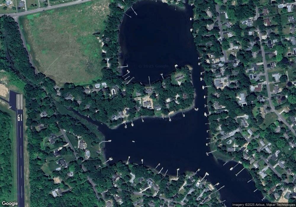
Map
Nearby Homes
- 955 Deep Hole Dr
- 955 Blossom Bend
- 2280 Deep Hole Dr
- 2100 Park Ave
- 385 New Suffolk Ave
- 4415 Camp Mineola Rd
- 13100 Main Rd
- 540 Conklin Rd
- 2360 Marlene Ln
- 23900 Main Rd
- 375 Factory Ave
- 870 Horton Ave
- 24635 Main Rd
- 780 Westview Dr
- 725 Youngs Ave
- 15 Youngs Ave
- 2340 Fairway Dr
- 9450 Old Sound Ave
- 2005 Westview Dr
- 3000 Grand Ave
- 1150 Luptons Point Rd
- 950 Luptons Point Rd
- 1250 Luptons Point Rd
- 850 Luptons Point Rd
- 1105 Luptons Point Rd
- 955 Luptons Point Rd
- 1235 Luptons Point Rd
- 855 Luptons Point Rd
- 750 Luptons Point Rd
- 1350 Luptons Point Rd
- 755 Luptons Point Rd
- 1450 Luptons Point Rd
- 1325 Luptons Point Rd
- 635 Luptons Point Rd
- 580 Luptons Point Rd
- 535 Luptons Point Rd
- 490 Luptons Point Rd
- 5028 New Suffolk Ave
- 1080 Deep Hole Dr
- 380 Luptons Point Rd
Your Personal Tour Guide
Ask me questions while you tour the home.