1050 Mayflower Ave Melbourne, FL 32940
Estimated Value: $337,000 - $368,409
4
Beds
2
Baths
2,449
Sq Ft
$145/Sq Ft
Est. Value
About This Home
This home is located at 1050 Mayflower Ave, Melbourne, FL 32940 and is currently estimated at $355,102, approximately $144 per square foot. 1050 Mayflower Ave is a home located in Brevard County with nearby schools including Quest Elementary School, John F. Kennedy Middle School, and Pinecrest Academy Space Coast.
Ownership History
Date
Name
Owned For
Owner Type
Purchase Details
Closed on
May 16, 2005
Sold by
Burlin Katherine N and Burlin Revocable T Katherine N
Bought by
Twells Ronald G and Twells Paula T
Current Estimated Value
Purchase Details
Closed on
Jan 11, 1994
Sold by
Burlin Katherine N
Bought by
Burlin Katherine N
Home Financials for this Owner
Home Financials are based on the most recent Mortgage that was taken out on this home.
Original Mortgage
$70,000
Interest Rate
7.25%
Create a Home Valuation Report for This Property
The Home Valuation Report is an in-depth analysis detailing your home's value as well as a comparison with similar homes in the area
Home Values in the Area
Average Home Value in this Area
Purchase History
| Date | Buyer | Sale Price | Title Company |
|---|---|---|---|
| Twells Ronald G | $197,500 | Security First Title Partner | |
| Burlin Katherine N | -- | -- |
Source: Public Records
Mortgage History
| Date | Status | Borrower | Loan Amount |
|---|---|---|---|
| Previous Owner | Burlin Katherine N | $70,000 |
Source: Public Records
Tax History
| Year | Tax Paid | Tax Assessment Tax Assessment Total Assessment is a certain percentage of the fair market value that is determined by local assessors to be the total taxable value of land and additions on the property. | Land | Improvement |
|---|---|---|---|---|
| 2025 | $1,657 | $128,520 | -- | -- |
| 2024 | $1,609 | $124,900 | -- | -- |
| 2023 | $1,609 | $121,270 | $0 | $0 |
| 2022 | $1,547 | $117,740 | $0 | $0 |
| 2021 | $1,559 | $114,320 | $0 | $0 |
| 2020 | $1,470 | $112,750 | $0 | $0 |
| 2019 | $1,404 | $110,220 | $0 | $0 |
| 2018 | $1,393 | $108,170 | $0 | $0 |
| 2017 | $1,382 | $105,950 | $0 | $0 |
| 2016 | $1,388 | $103,780 | $23,000 | $80,780 |
| 2015 | $1,416 | $103,060 | $23,000 | $80,060 |
| 2014 | $1,357 | $98,450 | $18,000 | $80,450 |
Source: Public Records
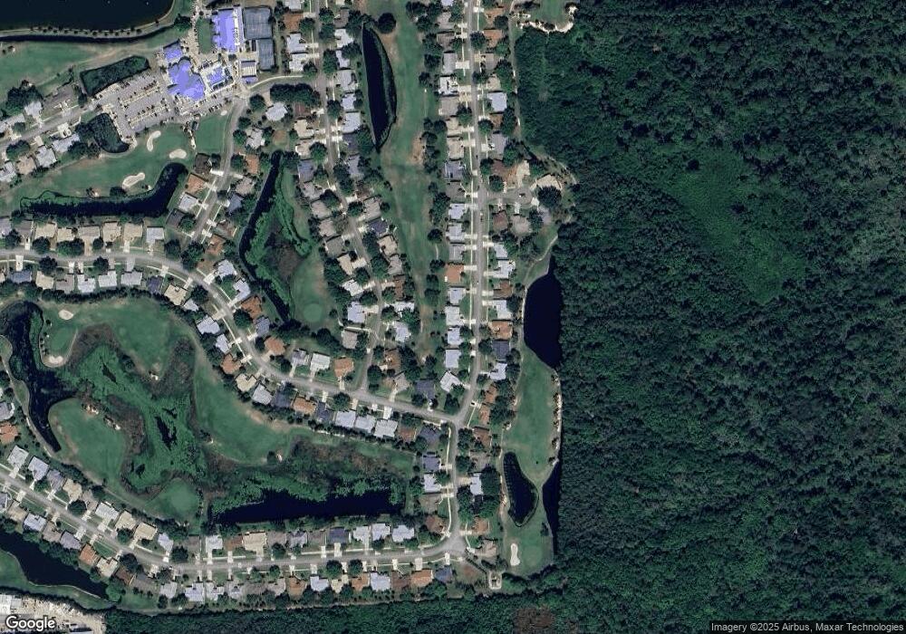
Map
Nearby Homes
- 1527 Frontier Dr
- 1682 Frontier Dr
- 1290 Mayflower Ave
- 1680 Old Glory Blvd
- 1161 Continental Ave
- 1314 Pilgrim Ave
- 1071 Continental Ave
- 1311 Independence Ave
- 1332 Pilgrim Ave
- 1203 Tralee Bay Ave
- 1198 Continental Ave
- 1355 Mayflower Ave
- 1375 Mayflower Ave
- 6833 Whitetail Ct
- 1579 Independence Ave
- 1551 Independence Ave
- 871 Misty Creek Dr
- 1531 Independence Ave
- 1372 Independence Ave
- 1402 Old Millpond Rd
- 1060 Mayflower Ave
- 1040 Mayflower Ave
- 1070 Mayflower Ave
- 1030 Mayflower Ave
- 1055 Mayflower Ave
- 1045 Mayflower Ave
- 1017 Ironsides Ave
- 1065 Mayflower Ave
- 1009 Ironsides Ave
- 1035 Mayflower Ave
- 1025 Ironsides Ave
- 1075 Mayflower Ave
- 1020 Mayflower Ave
- 1025 Mayflower Ave
- 1001 Ironsides Ave
- 1033 Ironsides Ave
- 1085 Mayflower Ave
- 1090 Mayflower Ave
- 1015 Mayflower Ave
- 1518 Pioneer Dr Unit 2
Your Personal Tour Guide
Ask me questions while you tour the home.