1050 Mitchell Hill Ct Greensboro, GA 30642
Estimated Value: $3,600,232 - $5,682,000
4
Beds
7
Baths
8,304
Sq Ft
$573/Sq Ft
Est. Value
About This Home
This home is located at 1050 Mitchell Hill Ct, Greensboro, GA 30642 and is currently estimated at $4,756,808, approximately $572 per square foot. 1050 Mitchell Hill Ct is a home located in Greene County with nearby schools including Greene County High School.
Ownership History
Date
Name
Owned For
Owner Type
Purchase Details
Closed on
Mar 20, 2014
Sold by
Reitman Edwin H
Bought by
Latz Ayal and Latz Kara
Current Estimated Value
Home Financials for this Owner
Home Financials are based on the most recent Mortgage that was taken out on this home.
Original Mortgage
$1,853,120
Outstanding Balance
$1,310,649
Interest Rate
2.75%
Mortgage Type
New Conventional
Estimated Equity
$3,446,159
Purchase Details
Closed on
Oct 21, 2011
Sold by
Reitman Edwin H and Reitman Lee D
Bought by
Reitman Edwin H
Purchase Details
Closed on
Feb 10, 1997
Sold by
Linger Longer Dev Co
Bought by
Reitman Edwin H and Reitman Lee D
Purchase Details
Closed on
Dec 17, 1996
Sold by
Reynolds Partners Lp
Bought by
Linger Longer Dev Co
Create a Home Valuation Report for This Property
The Home Valuation Report is an in-depth analysis detailing your home's value as well as a comparison with similar homes in the area
Home Values in the Area
Average Home Value in this Area
Purchase History
| Date | Buyer | Sale Price | Title Company |
|---|---|---|---|
| Latz Ayal | $2,316,400 | -- | |
| Reitman Edwin H | -- | -- | |
| Reitman Edwin H | $600,000 | -- | |
| Linger Longer Dev Co | -- | -- |
Source: Public Records
Mortgage History
| Date | Status | Borrower | Loan Amount |
|---|---|---|---|
| Open | Latz Ayal | $1,853,120 |
Source: Public Records
Tax History Compared to Growth
Tax History
| Year | Tax Paid | Tax Assessment Tax Assessment Total Assessment is a certain percentage of the fair market value that is determined by local assessors to be the total taxable value of land and additions on the property. | Land | Improvement |
|---|---|---|---|---|
| 2024 | $16,333 | $1,861,680 | $699,400 | $1,162,280 |
| 2023 | $16,071 | $1,785,800 | $669,400 | $1,116,400 |
| 2022 | $18,805 | $1,597,720 | $659,400 | $938,320 |
| 2021 | $20,046 | $1,426,440 | $524,600 | $901,840 |
| 2020 | $21,542 | $1,015,120 | $504,000 | $511,120 |
| 2019 | $21,881 | $1,015,120 | $504,000 | $511,120 |
| 2018 | $21,858 | $1,015,120 | $504,000 | $511,120 |
| 2017 | $20,405 | $1,008,782 | $504,000 | $504,782 |
| 2016 | $20,531 | $1,014,653 | $504,000 | $510,653 |
| 2015 | $18,543 | $1,014,653 | $504,000 | $510,653 |
| 2014 | $19,003 | $939,619 | $504,000 | $435,619 |
Source: Public Records
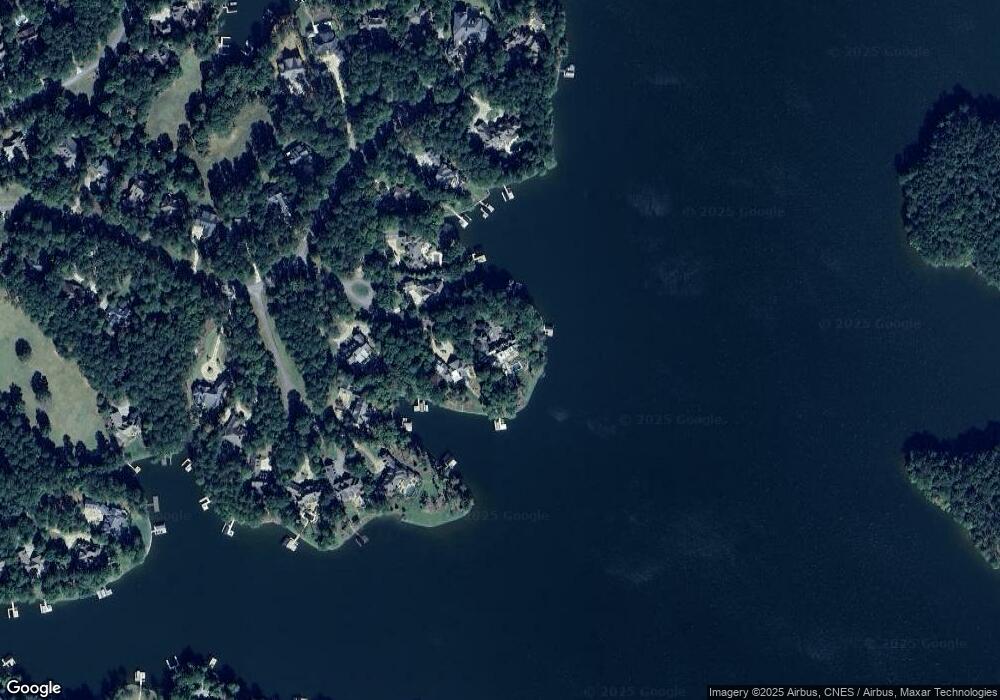
Map
Nearby Homes
- 1551 Jackson Ridge Rd
- 1070 & 1080 Cotton Gin Rd
- 1000 Troublesome Creek Ln
- 1020 Troublesome Creek Ln
- 1041 Parrotts Cove Rd
- 1040 Parrotts Cove Rd
- 1010 Monfort Ct
- 1321 Jackson Ridge Rd
- 1020 Monfort Ct
- 1330 Parrott Trace
- 1090 Curtright Place
- 1020 Grove Ct
- 1831 Parrotts Pointe Rd
- 1030 Brickyard Ln
- 1000 Brickyard Ln
- 1070 Prosperity Point
- 1041 Mitchell Hill Ct
- 1030 Mitchell Hill Ct
- 1010 Mitchell Hill Ct
- 1010 Dawson Ct
- 1021 Mitchell Hill Ct
- 0 Mitchell Hill Ct
- 1020 Dawson Ct
- 1171 Parrotts Cove Rd
- 1181 Parrotts Cove Rd
- 1030 Dawson Ct
- 0 Dawson Ct Unit 7224961
- 0 Dawson Ct Unit 7093658
- 0 Dawson Ct Unit 3088256
- 1201 Parrotts Cove Rd
- 1031 Dawson Ct Unit 2004
- 1031 Dawson Ct
- 1140 Parrotts Cove Rd
- 1021 Dawson Ct
- 1011 Dawson Ct
- 1150 Parrotts Cove Rd