1050 Mordred Ct Tillamook, OR 97141
Estimated Value: $574,000 - $917,000
3
Beds
2
Baths
1,918
Sq Ft
$367/Sq Ft
Est. Value
About This Home
This home is located at 1050 Mordred Ct, Tillamook, OR 97141 and is currently estimated at $704,613, approximately $367 per square foot. 1050 Mordred Ct is a home located in Tillamook County with nearby schools including Tillamook High School.
Ownership History
Date
Name
Owned For
Owner Type
Purchase Details
Closed on
Jul 11, 2011
Sold by
Blume Brian S and Blume Cindy K
Bought by
Nie Zhengdong and Ma Libin
Current Estimated Value
Home Financials for this Owner
Home Financials are based on the most recent Mortgage that was taken out on this home.
Original Mortgage
$194,100
Outstanding Balance
$133,472
Interest Rate
4.5%
Mortgage Type
New Conventional
Estimated Equity
$571,141
Create a Home Valuation Report for This Property
The Home Valuation Report is an in-depth analysis detailing your home's value as well as a comparison with similar homes in the area
Home Values in the Area
Average Home Value in this Area
Purchase History
| Date | Buyer | Sale Price | Title Company |
|---|---|---|---|
| Nie Zhengdong | $323,650 | First American |
Source: Public Records
Mortgage History
| Date | Status | Borrower | Loan Amount |
|---|---|---|---|
| Open | Nie Zhengdong | $194,100 |
Source: Public Records
Tax History Compared to Growth
Tax History
| Year | Tax Paid | Tax Assessment Tax Assessment Total Assessment is a certain percentage of the fair market value that is determined by local assessors to be the total taxable value of land and additions on the property. | Land | Improvement |
|---|---|---|---|---|
| 2024 | $4,911 | $389,780 | $190,300 | $199,480 |
| 2023 | $4,892 | $378,430 | $184,760 | $193,670 |
| 2022 | $4,755 | $367,410 | $179,380 | $188,030 |
| 2021 | $4,647 | $356,710 | $174,160 | $182,550 |
| 2020 | $4,433 | $346,330 | $169,080 | $177,250 |
| 2019 | $4,391 | $336,250 | $164,160 | $172,090 |
| 2018 | $4,197 | $326,460 | $159,370 | $167,090 |
| 2017 | $4,121 | $317,260 | $149,820 | $167,440 |
| 2016 | $4,083 | $315,180 | $153,620 | $161,560 |
| 2015 | $3,923 | $298,340 | $154,840 | $143,500 |
| 2014 | $4,057 | $303,160 | $175,410 | $127,750 |
| 2013 | -- | $309,140 | $178,700 | $130,440 |
Source: Public Records
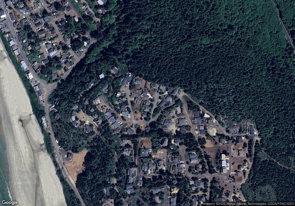
Map
Nearby Homes
- 0 Castle Dr Unit TL 16500 25-422
- 0 Castle Dr Unit TL16500 748763023
- 0 Pinewood Ln Unit 561093735
- 0 Pinewood W Unit 6 25-162
- TL#3900 S Castle Ln
- 0 Tl 3900 S Castle Ln
- 900 Bearberry Ln
- 0 Hillsdale St W Unit 411915636
- 0 Hillsdale St W Unit 388388008
- 0 Ridgewood Rd Unit TL 303 25-178
- 0 Ridgewood Rd Unit 301 25-169
- 0 Ridgewood Rd Unit 301 217160585
- 0 Ridgewood Rd Unit TL 303 295073756
- TL 1142 Hillsdale St W
- 1495 Pacific Ave
- 0 Castle Place Unit 17 25-314
- 0 Castle Place Unit TL 103 498625865
- 1555 Hillcrest Ave
- 1505 Pacific Ave
- 0 Manzanita St Unit 233 173591725
- 1050 Mordred Ct
- 1020 Mordred Ct
- 1060 Mordred Ct
- 1060 Mordred Ct
- 1065 Arthurs Ct
- 1065 Arthurs Rd
- 1055 Mordred Ct
- 5520 Castle Dr
- 5520 Castle Dr
- 1055 Mordred Ct
- 5600 BLK Castle Dr
- TL 107 Castle Dr
- 0 Castle Dr Unit 2009731
- 0 Castle Dr Unit 290383
- 0 Castle Dr Unit 243506
- 0 Castle Dr Unit Tax Lot 16700 24-156
- 0 Castle Dr Unit 16700 24368342
- 0 Castle Dr Unit 22669184
- 0 Castle Dr Unit 22447862
- 0 Castle Dr Unit 6-319