1050 N 4500 E Ashton, ID 83420
Estimated Value: $775,000 - $1,203,953
4
Beds
4
Baths
6,347
Sq Ft
$165/Sq Ft
Est. Value
About This Home
This home is located at 1050 N 4500 E, Ashton, ID 83420 and is currently estimated at $1,049,988, approximately $165 per square foot. 1050 N 4500 E is a home with nearby schools including Ashton Elementary School and North Fremont Junior/Senior High School.
Ownership History
Date
Name
Owned For
Owner Type
Purchase Details
Closed on
Oct 1, 2019
Sold by
Jensen Richard Brent and Jensen Linda H
Bought by
Jensen R Brent and Jensen Linda H
Current Estimated Value
Purchase Details
Closed on
Dec 9, 2016
Sold by
Jensen R Brent and Jensen Linda H
Bought by
Jensen Richard Brent and Jensen Linda H
Home Financials for this Owner
Home Financials are based on the most recent Mortgage that was taken out on this home.
Original Mortgage
$150,000
Interest Rate
3.47%
Mortgage Type
New Conventional
Create a Home Valuation Report for This Property
The Home Valuation Report is an in-depth analysis detailing your home's value as well as a comparison with similar homes in the area
Purchase History
| Date | Buyer | Sale Price | Title Company |
|---|---|---|---|
| Jensen R Brent | -- | First American Title | |
| Jensen Richard Brent | -- | First American Title Company |
Source: Public Records
Mortgage History
| Date | Status | Borrower | Loan Amount |
|---|---|---|---|
| Closed | Jensen Richard Brent | $150,000 |
Source: Public Records
Tax History
| Year | Tax Paid | Tax Assessment Tax Assessment Total Assessment is a certain percentage of the fair market value that is determined by local assessors to be the total taxable value of land and additions on the property. | Land | Improvement |
|---|---|---|---|---|
| 2025 | $2,322 | $669,589 | $66,776 | $602,813 |
| 2024 | $2,387 | $650,911 | $66,776 | $584,135 |
| 2023 | $2,268 | $650,911 | $66,776 | $584,135 |
| 2022 | $2,911 | $469,521 | $34,811 | $434,710 |
| 2021 | $2,676 | $323,832 | $34,811 | $289,021 |
| 2020 | $2,418 | $273,740 | $34,811 | $238,929 |
| 2019 | $2,418 | $273,740 | $34,811 | $238,929 |
| 2018 | $2,399 | $255,062 | $34,811 | $220,251 |
| 2017 | $5 | $27,947 | $27,947 | $0 |
| 2016 | $533 | $27,947 | $27,947 | $0 |
| 2015 | $242 | $27,947 | $0 | $0 |
| 2014 | $235 | $27,947 | $0 | $0 |
| 2013 | $235 | $27,947 | $0 | $0 |
Source: Public Records
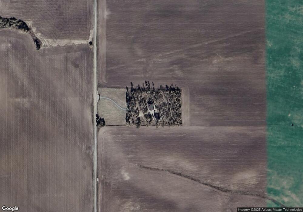
Map
Nearby Homes
- Lot 19 E 1200 Rd N
- Lot 16 E 1200 Rd N
- Lot 18 E 1200 Rd N
- Lot 17 E 1200 Rd N
- TBD 84AC E 1200 Rd N
- 775 N N 4700 E
- 775 N 4700 E
- 4585 E 1400 N
- TBD N 4600 E
- 4451 Golden Eagle Dr
- Lot 11 Potpourri Dr
- 4523 S Elk Loop Rd
- 4531 Moose Ln
- 4449 Grey Owl Dr
- 0 N 4600 E
- TBD Hwy 32
- 1582 Maggie Ln
- 4376 Granite Ridge
- 4402 Granite Ridge N
- 3938 Schaefer Ln
Your Personal Tour Guide
Ask me questions while you tour the home.