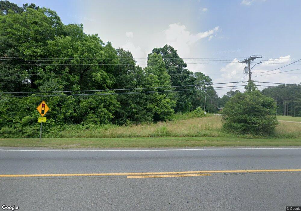
1050 N Broad St Monroe, GA 30656
Estimated Value: $296,000 - $399,000
--
Bed
1
Bath
1,601
Sq Ft
$210/Sq Ft
Est. Value
About This Home
This home is located at 1050 N Broad St, Monroe, GA 30656 and is currently estimated at $336,849, approximately $210 per square foot. 1050 N Broad St is a home located in Walton County with nearby schools including Walker Park Elementary School, Carver Middle School, and Monroe Area High School.
Ownership History
Date
Name
Owned For
Owner Type
Purchase Details
Closed on
Feb 9, 2018
Sold by
Leaphart Williams Joseph
Bought by
Stop & Go 786 Inc
Current Estimated Value
Home Financials for this Owner
Home Financials are based on the most recent Mortgage that was taken out on this home.
Original Mortgage
$53,610
Interest Rate
3.99%
Mortgage Type
Purchase Money Mortgage
Purchase Details
Closed on
Feb 8, 2017
Sold by
H A Harry Llc
Bought by
Williams Joseph Leaphart and Williams Francis E
Purchase Details
Closed on
Jul 5, 2016
Bought by
H A Harry Llc
Create a Home Valuation Report for This Property
The Home Valuation Report is an in-depth analysis detailing your home's value as well as a comparison with similar homes in the area
Home Values in the Area
Average Home Value in this Area
Purchase History
| Date | Buyer | Sale Price | Title Company |
|---|---|---|---|
| Stop & Go 786 Inc | $70,000 | -- | |
| Williams Joseph Leaphart | -- | -- | |
| H A Harry Llc | $10,000 | -- |
Source: Public Records
Mortgage History
| Date | Status | Borrower | Loan Amount |
|---|---|---|---|
| Closed | Stop & Go 786 Inc | $53,610 |
Source: Public Records
Tax History Compared to Growth
Tax History
| Year | Tax Paid | Tax Assessment Tax Assessment Total Assessment is a certain percentage of the fair market value that is determined by local assessors to be the total taxable value of land and additions on the property. | Land | Improvement |
|---|---|---|---|---|
| 2024 | $3,721 | $109,320 | $86,120 | $23,200 |
| 2023 | $1,550 | $44,320 | $41,320 | $3,000 |
| 2022 | $1,643 | $44,000 | $41,320 | $2,680 |
| 2021 | $1,354 | $35,040 | $33,040 | $2,000 |
| 2020 | $1,390 | $35,040 | $33,040 | $2,000 |
| 2019 | $1,388 | $35,040 | $33,040 | $2,000 |
| 2018 | $1,380 | $35,040 | $33,040 | $2,000 |
| 2017 | $1,671 | $39,880 | $36,880 | $3,000 |
| 2016 | $1,644 | $39,880 | $36,880 | $3,000 |
| 2015 | $2,803 | $66,800 | $49,200 | $17,600 |
| 2014 | $2,917 | $67,480 | $49,200 | $18,280 |
Source: Public Records
Map
Nearby Homes
- 201 Double Springs Church Rd SW Unit CLC/15/E1.827
- The Brentwood II Plan at Great River
- The Everglade Plan at Great River
- 0 Highway 138 NW Unit 10633963
- The Preserve Plan at Great River
- The Blackburn Plan at Great River
- 1373 Brookhaven Dr NW
- 1409 Hwy 11 N
- 1384 Brookhaven Dr NW
- 1482 Waverly Way
- 0 Highway 78
- 401 Double Springs Church Rd Unit CLC/15/W9.540
- 1530 Highland Creek Dr
- 2225 Blackberry Ct
- 2216 Blackberry Ct
- 2103 Sourwood Ct
- 519 Gatewood Dr
- 2328 Persimmon Chase
- 1020 N Broad St
- 1000 N Broad St
- 104 Tanglewood Dr
- 108 Tanglewood Dr
- 112 Tanglewood Dr
- 116 Tanglewood Dr
- 120 Tanglewood Dr
- 109 Tanglewood Dr
- 70 & 80 Tanglewood Dr Unit 70&80
- 70 & 80 Tanglewood Dr
- 70 Tanglewood Dr
- 113 Tanglewood Dr Unit B
- 113 Tanglewood Dr
- 124 Tanglewood Dr
- 117 Tanglewood Dr Unit A
- 117 Tanglewood Dr Unit B
- 117 Tanglewood Dr
- 121 Tanglewood Dr
- 1070 Highway 11 NW
- 128 Tanglewood Dr
