Estimated Value: $240,000 - $447,000
--
Bed
1
Bath
1,866
Sq Ft
$179/Sq Ft
Est. Value
About This Home
This home is located at 1050 Niles Rd, Boaz, AL 35957 and is currently estimated at $334,321, approximately $179 per square foot. 1050 Niles Rd is a home located in Marshall County with nearby schools including Robert D. Sloman Primary School, Douglas Elementary School, and Douglas Middle School.
Ownership History
Date
Name
Owned For
Owner Type
Purchase Details
Closed on
Jun 7, 2017
Sold by
Ballentine Michael Dewayne and Ballentine Cathy Michelle
Bought by
Brooks Jimmy Franklin and Brooks Laura Mae
Current Estimated Value
Home Financials for this Owner
Home Financials are based on the most recent Mortgage that was taken out on this home.
Original Mortgage
$239,725
Outstanding Balance
$199,456
Interest Rate
4.03%
Mortgage Type
Future Advance Clause Open End Mortgage
Estimated Equity
$134,865
Purchase Details
Closed on
Aug 19, 2005
Sold by
Rossuck Sidney W and Rossuck Lorraine
Bought by
Ballentine Michael Dewayne and Ballentine Michelle
Home Financials for this Owner
Home Financials are based on the most recent Mortgage that was taken out on this home.
Original Mortgage
$364,000
Interest Rate
5.64%
Mortgage Type
Future Advance Clause Open End Mortgage
Create a Home Valuation Report for This Property
The Home Valuation Report is an in-depth analysis detailing your home's value as well as a comparison with similar homes in the area
Home Values in the Area
Average Home Value in this Area
Purchase History
| Date | Buyer | Sale Price | Title Company |
|---|---|---|---|
| Brooks Jimmy Franklin | $235,000 | None Available | |
| Ballentine Michael Dewayne | -- | None Available |
Source: Public Records
Mortgage History
| Date | Status | Borrower | Loan Amount |
|---|---|---|---|
| Open | Brooks Jimmy Franklin | $239,725 | |
| Previous Owner | Ballentine Michael Dewayne | $364,000 |
Source: Public Records
Tax History Compared to Growth
Tax History
| Year | Tax Paid | Tax Assessment Tax Assessment Total Assessment is a certain percentage of the fair market value that is determined by local assessors to be the total taxable value of land and additions on the property. | Land | Improvement |
|---|---|---|---|---|
| 2024 | $891 | $22,160 | $0 | $0 |
| 2023 | $891 | $21,080 | $0 | $0 |
| 2022 | $851 | $21,080 | $0 | $0 |
| 2021 | $791 | $19,480 | $0 | $0 |
| 2020 | $697 | $16,980 | $0 | $0 |
| 2017 | $903 | $22,180 | $0 | $0 |
| 2015 | -- | $22,480 | $0 | $0 |
| 2014 | -- | $22,480 | $0 | $0 |
Source: Public Records
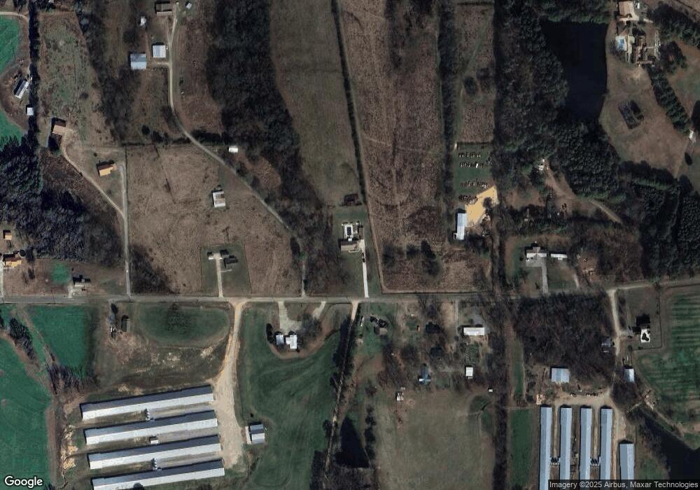
Map
Nearby Homes
- 226 Brock Rd
- 3871 Walnut St
- 4005 Neyman Rd
- 15 Jennifer Ln
- 1125 White Oak Rd
- 144 Lucy Ln
- 30 ACRES +/- Alabama 179
- 1.4 Acres Goldkist St
- 1.9 acres Goldkist St
- 405 Alabama 179
- 1706 Walnut St
- 10.1 Mount Vernon Rd
- 1286 Summerville Rd
- 66 Swanee Dr
- 0.75 ac Needmore Rd
- 1.52 ac Needmore Rd
- 501 Cobra St
- 823 Coal Mine Rd
- 1707 Walnut St
- 0001 Summerville Rd