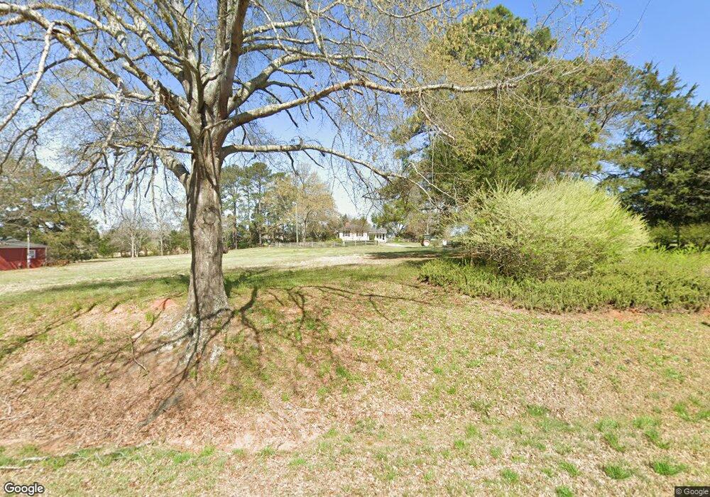
1050 Plainview Rd Madison, GA 30650
Estimated Value: $579,000 - $924,000
Studio
2
Baths
2,399
Sq Ft
$298/Sq Ft
Est. Value
About This Home
This home is located at 1050 Plainview Rd, Madison, GA 30650 and is currently estimated at $713,952, approximately $297 per square foot. 1050 Plainview Rd is a home located in Morgan County with nearby schools including Morgan County Primary School, Morgan County Elementary School, and Morgan County Middle School.
Ownership History
Date
Name
Owned For
Owner Type
Purchase Details
Closed on
Aug 1, 2000
Sold by
Branch James A
Bought by
Bartolone Joseph
Current Estimated Value
Purchase Details
Closed on
Oct 15, 1997
Sold by
Elizabeth H Branch
Bought by
Branch James A
Purchase Details
Closed on
Aug 18, 1978
Sold by
Bank Of Madison
Bought by
Conner Thelma
Create a Home Valuation Report for This Property
The Home Valuation Report is an in-depth analysis detailing your home's value as well as a comparison with similar homes in the area
Home Values in the Area
Average Home Value in this Area
Purchase History
| Date | Buyer | Sale Price | Title Company |
|---|---|---|---|
| Bartolone Joseph | $435,000 | -- | |
| Branch James A | $280,000 | -- | |
| Conner Thelma | -- | -- |
Source: Public Records
Tax History
| Year | Tax Paid | Tax Assessment Tax Assessment Total Assessment is a certain percentage of the fair market value that is determined by local assessors to be the total taxable value of land and additions on the property. | Land | Improvement |
|---|---|---|---|---|
| 2025 | $2,515 | $220,223 | $105,830 | $114,393 |
| 2024 | $2,795 | $207,954 | $105,830 | $102,124 |
| 2023 | $2,501 | $151,346 | $58,944 | $92,402 |
| 2022 | $2,310 | $132,037 | $50,234 | $81,803 |
| 2021 | $2,316 | $132,037 | $50,234 | $81,803 |
| 2020 | $2,333 | $132,037 | $50,234 | $81,803 |
| 2019 | $2,367 | $132,037 | $50,234 | $81,803 |
| 2018 | $2,190 | $121,109 | $47,037 | $74,072 |
| 2017 | $3,314 | $127,919 | $51,457 | $76,462 |
| 2016 | $2,020 | $122,616 | $52,456 | $70,160 |
| 2015 | $1,966 | $138,760 | $71,240 | $67,520 |
| 2014 | $1,709 | $138,436 | $78,720 | $59,716 |
| 2013 | -- | $98,912 | $53,040 | $45,872 |
Source: Public Records
Map
Nearby Homes
- 0 Lions Club Rd Unit 10473699
- 2621B Bethany Rd
- 1361 Arborgate St
- 1110 Fieldcrest Ct
- 1365 Veranda Park Dr
- 568 New Post Rd
- 1355 Veranda Park Dr
- 3060 Eatonton Rd
- 811 Foster St
- 2151 Eatonton Rd Unit A
- 2151 Eatonton Rd
- 757 Markhams Dr
- 1000 Jacob Prickett Ln
- 1000 Boxwood Place
- 775 Markhams Dr
- 1001 Alaina Ave
- 1041 Alaina Ave Unit 69
- 0 Apalachee Ridge Unit 23542402
- 991 Crawford St
- 1065 Creekwood Cir
- 1055 Plainview Rd
- 1049 Plainview Rd
- 1090 Plainview Rd
- 2390 Bethany Rd
- 2380 Bethany Rd
- 2551 Bethany Rd
- 2370 Bethany Rd
- 1101 Plainview Rd
- 2340 Bethany Rd
- 0 Mary Magnum Ln Unit 7014391
- 0 Mary Magnum Ln Unit 7014396
- 0 Highway 83 Unit 7120765
- 0 Mary Magnum Ln Unit A 7193724
- 0 Mary Magnum Ln Unit B 7193717
- 0 Highway 83 Unit 7304944
- 0 Hillcrest Unit 3198530
- 0 Town Walk Cir
- 0 Mary Magnum Ln Unit 41983
- 1111 Plainview Rd
- 2270 Bethany Rd
