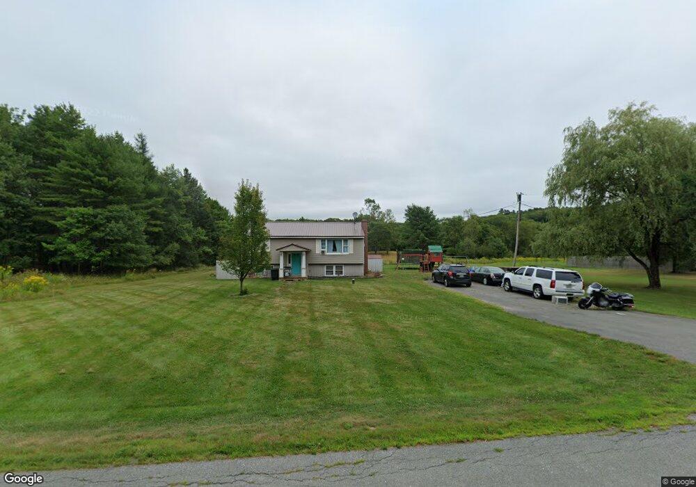
1050 River Rd Orrington, ME 04474
Estimated Value: $272,375 - $309,000
3
Beds
1
Bath
1,360
Sq Ft
$216/Sq Ft
Est. Value
About This Home
This home is located at 1050 River Rd, Orrington, ME 04474 and is currently estimated at $294,344, approximately $216 per square foot. 1050 River Rd is a home located in Penobscot County with nearby schools including Center Drive School and Calvary Chapel Christian School.
Ownership History
Date
Name
Owned For
Owner Type
Purchase Details
Closed on
Jul 12, 2016
Sold by
Fitzpatrick Michael D and Fitzpatrick Jordan M
Bought by
Sanford Brittany C
Current Estimated Value
Home Financials for this Owner
Home Financials are based on the most recent Mortgage that was taken out on this home.
Original Mortgage
$161,944
Outstanding Balance
$129,530
Interest Rate
3.64%
Mortgage Type
Commercial
Estimated Equity
$164,814
Purchase Details
Closed on
Feb 10, 2012
Sold by
Fitzpatrick Michael D and Mclain Jordan M
Bought by
Fitzpatrick Michael D and Mclain Jordan M
Home Financials for this Owner
Home Financials are based on the most recent Mortgage that was taken out on this home.
Original Mortgage
$117,000
Interest Rate
3.96%
Mortgage Type
Commercial
Purchase Details
Closed on
May 5, 2006
Sold by
Coleman Trisha L
Bought by
Coleman Gary D
Create a Home Valuation Report for This Property
The Home Valuation Report is an in-depth analysis detailing your home's value as well as a comparison with similar homes in the area
Home Values in the Area
Average Home Value in this Area
Purchase History
| Date | Buyer | Sale Price | Title Company |
|---|---|---|---|
| Sanford Brittany C | -- | -- | |
| Fitzpatrick Michael D | -- | -- | |
| Coleman Gary D | -- | -- |
Source: Public Records
Mortgage History
| Date | Status | Borrower | Loan Amount |
|---|---|---|---|
| Open | Sanford Brittany C | $161,944 | |
| Previous Owner | Fitzpatrick Michael D | $117,000 |
Source: Public Records
Tax History
| Year | Tax Paid | Tax Assessment Tax Assessment Total Assessment is a certain percentage of the fair market value that is determined by local assessors to be the total taxable value of land and additions on the property. | Land | Improvement |
|---|---|---|---|---|
| 2024 | $2,097 | $192,400 | $54,800 | $137,600 |
| 2023 | $1,994 | $181,300 | $51,000 | $130,300 |
| 2022 | $2,125 | $166,700 | $52,900 | $113,800 |
| 2021 | $2,207 | $147,100 | $52,900 | $94,200 |
| 2020 | $995 | $141,000 | $52,900 | $88,100 |
| 2019 | $949 | $141,000 | $52,900 | $88,100 |
| 2018 | $865 | $141,000 | $52,900 | $88,100 |
| 2017 | $1,960 | $141,000 | $52,900 | $88,100 |
| 2016 | $823 | $138,500 | $47,400 | $91,100 |
| 2015 | $2,151 | $149,900 | $47,400 | $102,500 |
| 2014 | $2,213 | $154,200 | $47,400 | $106,800 |
| 2013 | $2,074 | $154,200 | $47,400 | $106,800 |
Source: Public Records
Map
Nearby Homes
- 1058 River Rd
- Lot 32 River Rd
- 1037 River Rd
- 1039 River Rd
- 1068 River Rd
- 1025 River Rd
- 1024 River Rd
- 000 River Rd
- 1091 River Rd
- 36 Quarry Rd
- 35 Quarry Rd
- 11 Bartlett Cove Rd
- 10 Bartlett Cove Rd
- 29 Quarry Rd
- 23 Quarry Rd
- 9 Bartlet Cove Rd W
- 0 River Rd & Quarry Rd
- 0 Quarry Rd
- 972-2 River Rd
- 972 River Rd
Your Personal Tour Guide
Ask me questions while you tour the home.