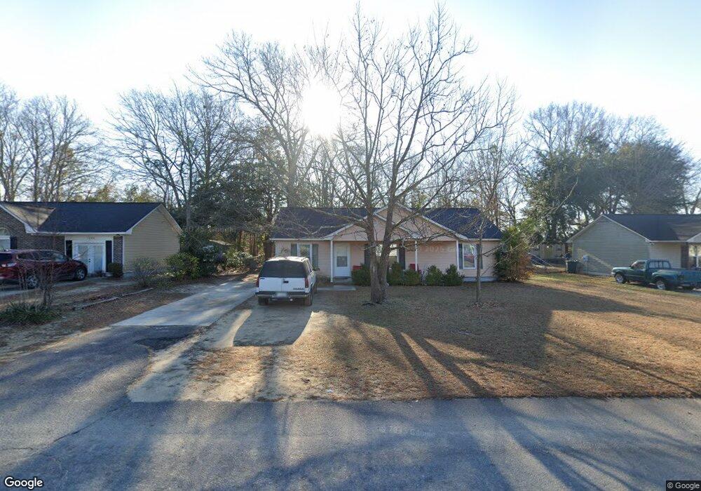
1050 Spaulding Ave Sumter, SC 29150
Wilder NeighborhoodEstimated Value: $115,288 - $136,000
3
Beds
2
Baths
1,302
Sq Ft
$97/Sq Ft
Est. Value
About This Home
This home is located at 1050 Spaulding Ave, Sumter, SC 29150 and is currently estimated at $125,822, approximately $96 per square foot. 1050 Spaulding Ave is a home located in Sumter County with nearby schools including Kingsbury Elementary School, Bates Middle School, and Sumter High School.
Ownership History
Date
Name
Owned For
Owner Type
Purchase Details
Closed on
Mar 31, 2005
Sold by
Henderson Gladys M
Bought by
Smalls Christopher L and Smalls Tabical N
Current Estimated Value
Home Financials for this Owner
Home Financials are based on the most recent Mortgage that was taken out on this home.
Original Mortgage
$79,500
Outstanding Balance
$45,605
Interest Rate
7.87%
Mortgage Type
Adjustable Rate Mortgage/ARM
Estimated Equity
$80,217
Create a Home Valuation Report for This Property
The Home Valuation Report is an in-depth analysis detailing your home's value as well as a comparison with similar homes in the area
Home Values in the Area
Average Home Value in this Area
Purchase History
| Date | Buyer | Sale Price | Title Company |
|---|---|---|---|
| Smalls Christopher L | $79,500 | -- |
Source: Public Records
Mortgage History
| Date | Status | Borrower | Loan Amount |
|---|---|---|---|
| Open | Smalls Christopher L | $79,500 |
Source: Public Records
Tax History
| Year | Tax Paid | Tax Assessment Tax Assessment Total Assessment is a certain percentage of the fair market value that is determined by local assessors to be the total taxable value of land and additions on the property. | Land | Improvement |
|---|---|---|---|---|
| 2025 | $345 | $3,640 | $320 | $3,320 |
| 2024 | $345 | $3,640 | $320 | $3,320 |
| 2023 | $345 | $3,610 | $320 | $3,290 |
| 2022 | $342 | $3,610 | $320 | $3,290 |
| 2021 | $239 | $3,610 | $320 | $3,290 |
| 2020 | $277 | $3,180 | $320 | $2,860 |
| 2019 | $273 | $3,180 | $320 | $2,860 |
| 2018 | $264 | $3,180 | $320 | $2,860 |
| 2017 | $267 | $3,180 | $320 | $2,860 |
| 2016 | $269 | $3,180 | $320 | $2,860 |
| 2015 | $266 | $3,130 | $320 | $2,810 |
| 2014 | $266 | $3,130 | $320 | $2,810 |
| 2013 | -- | $3,130 | $320 | $2,810 |
Source: Public Records
Map
Nearby Homes
- 501 Knightbridge Rd
- 1023 Decatur St
- 230 Alexander Place
- 220 Alexander Place
- 1116 Pocalla Rd
- 1719 Smalls Dr
- 1707 Trevino Dr
- 1737 Smalls Dr
- 1754 Trevino Dr
- 1234 Ivey St
- 1742 Carnoustie Dr
- 1761 Nicholas Dr
- 1745 Glenmorangie Dr
- 346 Aberlour Dr
- 1214 Devonshire Dr
- 996 Saltwood Rd
- 1149 Chivalry St
- 10 Earle St
- 1113 Chivalry St
- 1044 Saltwood Rd
- 1046 Spaulding Ave
- 1054 Spaulding Ave
- 1058 Spaulding Ave
- 1042 Spaulding Ave
- 1049 Spaulding Ave
- 1045 Spaulding Ave
- 1053 Spaulding Ave
- 1062 Spaulding Ave
- 1041 Spaulding Ave
- 1057 Spaulding Ave
- 526 Knightbridge Rd
- 1038 Spaulding Ave
- 1064 Spaulding Ave
- 1063 Spaulding Ave
- 526 Knightsbridge Rd
- 530 Knightbridge Rd
- 70 Swampfox Run
- 518 Knightbridge Rd
- 1035 Spaulding Ave
- 518 Knightsbridge Rd
Your Personal Tour Guide
Ask me questions while you tour the home.