1050 State Highway 49 Placerville, CA 95667
Estimated Value: $322,275 - $452,000
About This Home
This home is located at 1050 State Highway 49, Placerville, CA 95667 and is currently estimated at $395,569, approximately $374 per square foot. 1050 State Highway 49 is a home located in El Dorado County with nearby schools including Sutter's Mill Elementary School, Gold Trail School, and El Dorado High School.
Ownership History
We collect this data history from publicly available records. To have your information removed, we recommend requesting removal directly through your county’s website.
Purchase Details
Home Financials for this Owner
Home Financials are based on the most recent Mortgage that was taken out on this home.Home Values in the Area
Average Home Value in this Area
Purchase History
We collect this data history from publicly available records. To have your information removed, we recommend requesting removal directly through your county’s website.
| Date | Buyer | Sale Price | Title Company |
|---|---|---|---|
| -- | Placer Title Co |
Mortgage History
We collect this data history from publicly available records. To have your information removed, we recommend requesting removal directly through your county’s website.
| Date | Status | Borrower | Loan Amount |
|---|---|---|---|
| Open | $100,000 |
Tax History
We collect this data history from publicly available records. To have your information removed, we recommend requesting removal directly through your county’s website.
| Year | Tax Paid | Tax Assessment Tax Assessment Total Assessment is a certain percentage of the fair market value that is determined by local assessors to be the total taxable value of land and additions on the property. | Land | Improvement |
|---|---|---|---|---|
| 2025 | $1,144 | $34,337 | $10,813 | $23,524 |
| 2024 | $1,144 | $33,664 | $10,601 | $23,063 |
| 2023 | $389 | $33,005 | $10,394 | $22,611 |
| 2022 | $384 | $32,359 | $10,191 | $22,168 |
| 2021 | $379 | $31,726 | $9,992 | $21,734 |
| 2020 | $375 | $31,402 | $9,890 | $21,512 |
| 2019 | $369 | $30,788 | $9,697 | $21,091 |
| 2018 | $361 | $30,185 | $9,507 | $20,678 |
| 2017 | $355 | $29,594 | $9,321 | $20,273 |
| 2016 | $351 | $29,015 | $9,139 | $19,876 |
| 2015 | $340 | $28,581 | $9,002 | $19,579 |
| 2014 | $340 | $28,024 | $8,827 | $19,197 |
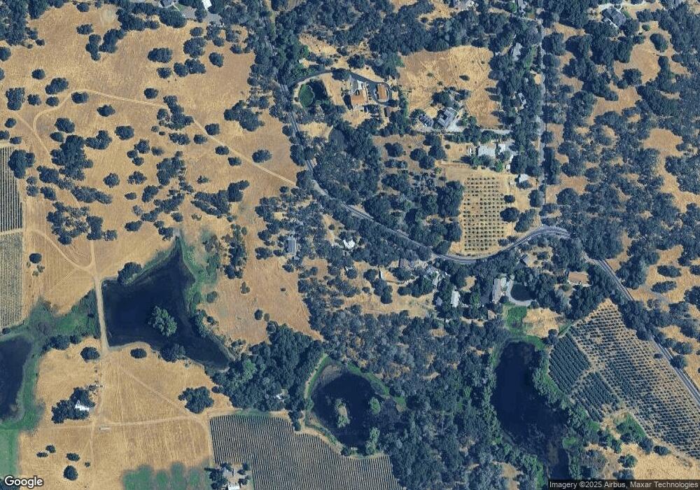
Map
- 6597 Baralee Ln
- 6637 Baralee Ln
- 9001 Riverwood Dr
- 1244 Cold Springs Rd
- 8641 Riverwood Dr
- 6000 Gold Hill Rd
- 1140 Cold Springs Rd
- 6060 Gold Hill Rd
- 1525 Cold Springs Rd Unit 67
- 1525 Cold Springs Rd Unit 82
- 1525 Cold Springs Rd Unit 48
- 1520 Golf Way
- 7411 Riverbend Dr
- 1827 Emmerson Rd
- 1988 Cold Springs Rd
- 5661 Thompson Hill Rd
- 0 Browns Rd Unit 226061139
- 2213 Old Toll Rd
- 0 Bayne Rd Unit 226038711
- 3041 Rising Hill Ct
- 1074 Coloma Rd
- 1066 State Highway 49
- 1074 California 49
- 1074 State Highway 49
- 1078 State Highway 49
- 1031 State Highway 49
- 1090 State Highway 49
- 1031 California 49
- 1090 Woodridge Rd
- 1079 State Highway 49
- 1080 Woodridge Rd
- 1100 State Highway 49
- 1064 Woodridge Rd
- 6620 Baralee Ln
- 6501 Gold Hill Rd
- 6600 Baralee Ln
- 1050 Woodridge Rd
- 980 State Highway 49
- 6611 Baralee Ln
- 6541 Gold Hill Rd
Ask me questions while you tour the home.