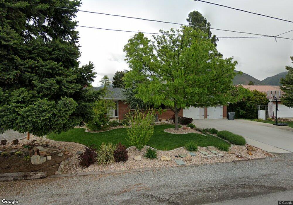
1050 W 2000 N Mapleton, UT 84664
Estimated Value: $529,000 - $546,000
2
Beds
1
Bath
2,232
Sq Ft
$241/Sq Ft
Est. Value
About This Home
This home is located at 1050 W 2000 N, Mapleton, UT 84664 and is currently estimated at $536,971, approximately $240 per square foot. 1050 W 2000 N is a home located in Utah County with nearby schools including Mapleton School, Mapleton Junior High School, and Maple Mountain High School.
Ownership History
Date
Name
Owned For
Owner Type
Purchase Details
Closed on
Jan 13, 2026
Sold by
Marchbanks Vivian Inez and Marchbanks Family Trust
Bought by
Marchbanks Family Trust and Marchbanks
Current Estimated Value
Purchase Details
Closed on
Jan 26, 2004
Sold by
Taylor Robert E and The Bramall Family Trust
Bought by
Nedesky David and Nedesky Coy
Home Financials for this Owner
Home Financials are based on the most recent Mortgage that was taken out on this home.
Original Mortgage
$115,920
Interest Rate
5.79%
Mortgage Type
Purchase Money Mortgage
Purchase Details
Closed on
Oct 21, 1998
Sold by
Bramall Ernest Lacelle and Bramall Golda Mcgee
Bought by
Bramall Ernest L and Bramall Golda M
Purchase Details
Closed on
Aug 21, 1998
Sold by
Bramall Ernest Lacelle and Bramall Galda Mcgee
Bought by
Bramall Family Trust
Create a Home Valuation Report for This Property
The Home Valuation Report is an in-depth analysis detailing your home's value as well as a comparison with similar homes in the area
Home Values in the Area
Average Home Value in this Area
Purchase History
| Date | Buyer | Sale Price | Title Company |
|---|---|---|---|
| Marchbanks Family Trust | -- | Protitle | |
| Nedesky David | -- | Old Republic Title Company | |
| Bramall Ernest L | -- | -- | |
| Bramall Family Trust | -- | -- |
Source: Public Records
Mortgage History
| Date | Status | Borrower | Loan Amount |
|---|---|---|---|
| Previous Owner | Nedesky David | $115,920 |
Source: Public Records
Tax History
| Year | Tax Paid | Tax Assessment Tax Assessment Total Assessment is a certain percentage of the fair market value that is determined by local assessors to be the total taxable value of land and additions on the property. | Land | Improvement |
|---|---|---|---|---|
| 2025 | $2,561 | $262,955 | -- | -- |
| 2024 | $2,561 | $250,855 | $0 | $0 |
| 2023 | $2,651 | $261,305 | $0 | $0 |
| 2022 | $2,688 | $261,965 | $0 | $0 |
| 2021 | $2,178 | $325,900 | $175,300 | $150,600 |
| 2020 | $2,112 | $305,700 | $155,100 | $150,600 |
| 2019 | $1,917 | $283,200 | $148,800 | $134,400 |
| 2018 | $1,687 | $237,300 | $125,300 | $112,000 |
| 2017 | $1,672 | $124,795 | $0 | $0 |
| 2016 | $1,465 | $108,735 | $0 | $0 |
| 2015 | $1,387 | $102,300 | $0 | $0 |
| 2014 | $1,383 | $100,155 | $0 | $0 |
Source: Public Records
Map
Nearby Homes
- 1121 W 1800 N
- 949 S 1060 E
- 598 W 1600 N
- 1697 N 500 W
- 1403 S 625 E
- 1518 S 600 E
- 405 W 1200 N Unit 4
- 487 W 1200 N Unit 1
- 1225 N 1380 W
- 1410 W 1200 N
- 1518 E Pheasant Run Dr
- 883 E 700 S
- 677 E 800 South St
- 1525 S 400 E Unit 36
- 1618 E 970 S
- 145 W Carnesecca Ct
- 579 E 800 St S
- 629 E 800 St S
- 66 E 750 S Unit 23
- 645 Swenson Ave Unit 5
- 1140 W 2000 N
- 1030 W 2000 N
- 1092 W 2000 N
- 1056 E 1200 S
- 1082 E 1200 S
- 1038 E 1200 S
- 1063 W 2000 N
- 1039 W 2000 N
- 1085 W 2000 N
- 1091 W 2000 N
- 1095 W 2000 N
- 1095 W 2000 N Unit 2nd Story Apartment
- 1096 E 1200 S
- 1003 W 2000 N
- 1020 E 1200 S
- 1129 W 2000 N
- 1115 W 2000 N
- 992 E 1200 S
- 1110 E 1200 S
- 1061 E 1200 S
Your Personal Tour Guide
Ask me questions while you tour the home.