1050 W Industrial Blvd Cumberland, MD 21502
Estimated Value: $6,182,978
--
Bed
--
Bath
20,000
Sq Ft
$309/Sq Ft
Est. Value
About This Home
This home is located at 1050 W Industrial Blvd, Cumberland, MD 21502 and is currently priced at $6,182,978, approximately $309 per square foot. 1050 W Industrial Blvd is a home located in Allegany County with nearby schools including South Penn Elementary School, Washington Middle School, and Fort Hill High School.
Ownership History
Date
Name
Owned For
Owner Type
Purchase Details
Closed on
Jan 13, 2023
Sold by
Boiii Cumberland Llc
Bought by
Burhans Village Llc
Current Estimated Value
Home Financials for this Owner
Home Financials are based on the most recent Mortgage that was taken out on this home.
Original Mortgage
$7,750,000
Outstanding Balance
$7,498,311
Interest Rate
6.33%
Mortgage Type
New Conventional
Purchase Details
Closed on
Nov 23, 2010
Sold by
1050 Industrial Blvd Llc
Bought by
Boiii Cumberland Llc
Home Financials for this Owner
Home Financials are based on the most recent Mortgage that was taken out on this home.
Original Mortgage
$2,000,000
Interest Rate
4.22%
Mortgage Type
Future Advance Clause Open End Mortgage
Purchase Details
Closed on
Dec 22, 2004
Sold by
Schaefer Thomas J
Bought by
1050 Industrial Blvd Llc
Purchase Details
Closed on
Jul 1, 1997
Sold by
Schaefer Thomas J
Bought by
Schaefer Thomas J
Create a Home Valuation Report for This Property
The Home Valuation Report is an in-depth analysis detailing your home's value as well as a comparison with similar homes in the area
Home Values in the Area
Average Home Value in this Area
Purchase History
| Date | Buyer | Sale Price | Title Company |
|---|---|---|---|
| Burhans Village Llc | $7,400,000 | -- | |
| Boiii Cumberland Llc | $3,750,000 | -- | |
| 1050 Industrial Blvd Llc | $1,290,000 | -- | |
| Schaefer Thomas J | -- | -- |
Source: Public Records
Mortgage History
| Date | Status | Borrower | Loan Amount |
|---|---|---|---|
| Open | Burhans Village Llc | $7,750,000 | |
| Previous Owner | Boiii Cumberland Llc | $2,000,000 |
Source: Public Records
Tax History Compared to Growth
Tax History
| Year | Tax Paid | Tax Assessment Tax Assessment Total Assessment is a certain percentage of the fair market value that is determined by local assessors to be the total taxable value of land and additions on the property. | Land | Improvement |
|---|---|---|---|---|
| 2025 | $62,466 | $7,030,967 | $0 | $0 |
| 2024 | $62,466 | $6,668,033 | $0 | $0 |
| 2023 | $58,656 | $6,305,100 | $774,200 | $5,530,900 |
| 2022 | $58,518 | $6,305,100 | $774,200 | $5,530,900 |
| 2021 | $58,964 | $6,305,100 | $774,200 | $5,530,900 |
| 2020 | $60,018 | $6,463,300 | $774,200 | $5,689,100 |
| 2019 | $53,348 | $5,709,900 | $0 | $0 |
| 2018 | $47,112 | $4,956,500 | $0 | $0 |
| 2017 | $39,694 | $4,203,100 | $0 | $0 |
| 2016 | $39,831 | $4,156,333 | $0 | $0 |
| 2015 | $34,081 | $4,109,567 | $0 | $0 |
| 2014 | $34,081 | $3,527,600 | $0 | $0 |
Source: Public Records
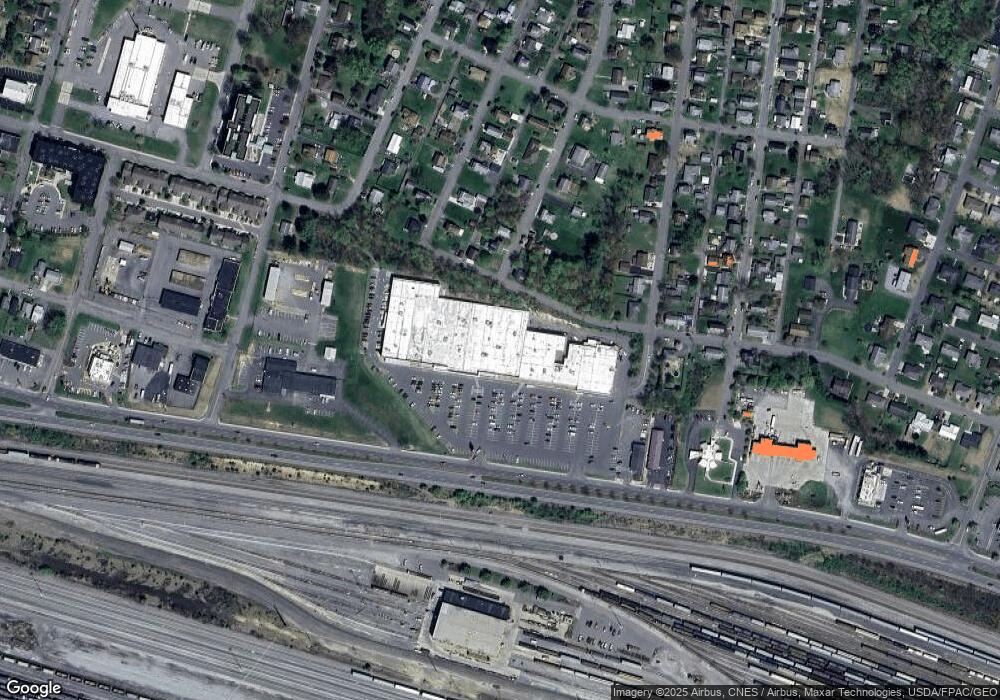
Map
Nearby Homes
- 823 E First St
- 61 Maple St
- 22 S Massachusetts Ave
- 218 Wempe Dr
- 521 E Fourth St
- 32 Blackiston Ave
- 2 1 Utah Ave
- 52 Wempe Dr
- 30 Memorial Ave
- 615 Elwood St
- 433 Pennsylvania Ave
- 723 Glenmore St
- 319 Race St
- 201 Race St
- 12 Pennsylvania Ave
- 200 Grand Ave
- 407 Grand Ave
- 108 E Fourth St
- 118 Grand Ave
- 1006 Kent Ave
- 242 Gleason St
- 237 Gleason St
- 232 Gleason St
- 238 New Hampshire Ave
- 221 Gleason St
- 230 New Hampshire Ave
- 241 New Hampshire Ave
- 243 Utah Ave
- 233 Gleason St
- 224 Gleason St
- 239 Utah Ave
- 235 New Hampshire Ave
- 222 New Hampshire Ave
- 229 Utah Ave
- 208 Gleason St
- 1101 Church St
- 234 Maple St
- 244 Utah Ave
- 1090 W Industrial Blvd
- 207 Gleason St