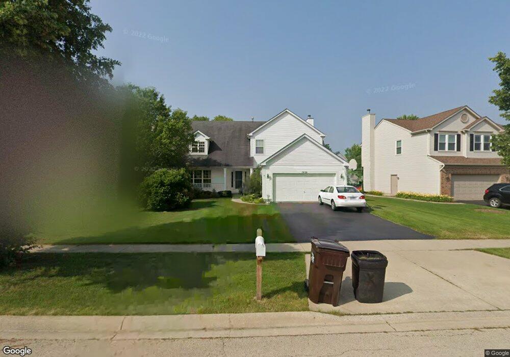
1050 Wheatland Dr Unit 2 Crystal Lake, IL 60014
Estimated Value: $448,722 - $560,000
--
Bed
--
Bath
2,804
Sq Ft
$177/Sq Ft
Est. Value
About This Home
This home is located at 1050 Wheatland Dr Unit 2, Crystal Lake, IL 60014 and is currently estimated at $495,931, approximately $176 per square foot. 1050 Wheatland Dr Unit 2 is a home located in McHenry County with nearby schools including West Elementary School, Richard F Bernotas Middle School, and Crystal Lake Central High School.
Ownership History
Date
Name
Owned For
Owner Type
Purchase Details
Closed on
May 13, 2003
Sold by
Saffert Rodney A
Bought by
Saffert Rebecca J
Current Estimated Value
Purchase Details
Closed on
Oct 15, 1998
Sold by
United Homes Inc
Bought by
Saffert Rodney A and Saffert Rebecca J
Home Financials for this Owner
Home Financials are based on the most recent Mortgage that was taken out on this home.
Original Mortgage
$218,400
Outstanding Balance
$47,817
Interest Rate
6.9%
Estimated Equity
$448,114
Create a Home Valuation Report for This Property
The Home Valuation Report is an in-depth analysis detailing your home's value as well as a comparison with similar homes in the area
Home Values in the Area
Average Home Value in this Area
Purchase History
| Date | Buyer | Sale Price | Title Company |
|---|---|---|---|
| Saffert Rebecca J | -- | -- | |
| Saffert Rodney A | $230,000 | -- |
Source: Public Records
Mortgage History
| Date | Status | Borrower | Loan Amount |
|---|---|---|---|
| Open | Saffert Rodney A | $218,400 |
Source: Public Records
Tax History Compared to Growth
Tax History
| Year | Tax Paid | Tax Assessment Tax Assessment Total Assessment is a certain percentage of the fair market value that is determined by local assessors to be the total taxable value of land and additions on the property. | Land | Improvement |
|---|---|---|---|---|
| 2024 | $10,109 | $128,569 | $8,386 | $120,183 |
| 2023 | $9,800 | $115,495 | $7,533 | $107,962 |
| 2022 | $9,302 | $105,167 | $6,859 | $98,308 |
| 2021 | $8,903 | $99,046 | $6,460 | $92,586 |
| 2020 | $8,761 | $96,405 | $6,288 | $90,117 |
| 2019 | $8,654 | $93,943 | $6,127 | $87,816 |
| 2018 | $9,534 | $100,511 | $6,895 | $93,616 |
| 2017 | $9,493 | $94,723 | $6,498 | $88,225 |
| 2016 | $9,390 | $90,058 | $6,178 | $83,880 |
| 2013 | -- | $97,417 | $14,738 | $82,679 |
Source: Public Records
Map
Nearby Homes
- 8760 Belfield Rd
- 1000 Sandalwood Ln
- 1021 Abbey Dr
- 9215 Loch Glen Dr
- 1099 Boneset Dr
- 1025 Wedgewood Dr
- 1201LT Bard Rd
- 9310 Nicklaus Ln
- 812 Wedgewood Dr
- 1201 Boxwood Dr
- 7625 Loch Glen Dr
- 7380 Bannockburn Cir
- 9060 Edinburgh Ct
- 8614 Lakeview Ave
- 7165 Bannockburn Cir
- 9521 Georgetown Ln Unit 16A
- 796 Waterford Cut
- 1484 Rolling Hills Dr
- 9520 Lenox Ln Unit 26C
- 863 Barlina Rd Unit 3
- 1058 Wheatland Dr
- 1042 Wheatland Dr
- 1032 Wheatland Dr
- 1066 Wheatland Dr
- 1034 Wheatland Dr
- 1047 Wheatland Dr Unit 2
- 1041 Wheatland Dr
- 1053 Wheatland Dr Unit 2
- 1035 Wheatland Dr Unit 2
- 1030 Wheatland Dr
- 1059 Wheatland Dr
- 1029 Wheatland Dr
- 1065 Wheatland Dr
- 1023 Wheatland Dr
- 1022 Wheatland Dr
- 1071 Wheatland Dr
- 1017 Wheatland Dr
- 1028 Wheatland Dr
- 1024 Wheatland Dr
- 1026 Wheatland Dr