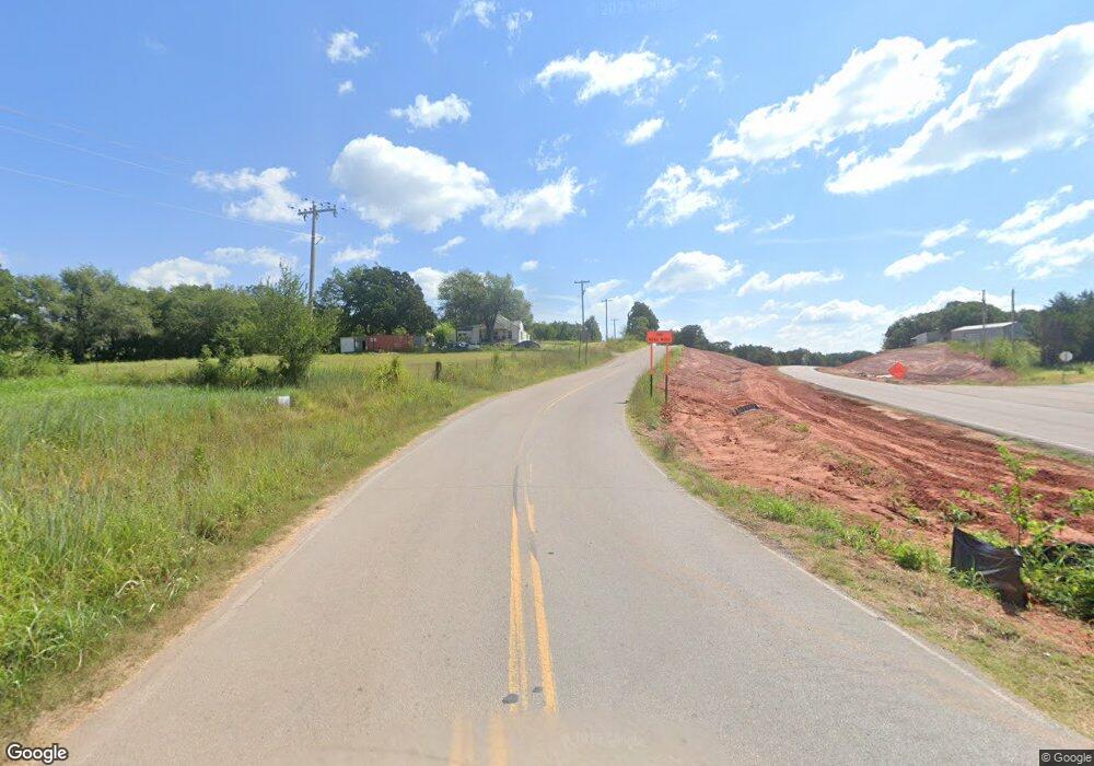
10500 NE 192nd St , 73007
East Edmond NeighborhoodEstimated Value: $335,000 - $554,542
3
Beds
2
Baths
1,821
Sq Ft
$228/Sq Ft
Est. Value
About This Home
This home is located at 10500 NE 192nd St, , 73007 and is currently estimated at $415,847, approximately $228 per square foot. 10500 NE 192nd St is a home with nearby schools including Will Rogers Elementary School, Central Middle School, and Memorial High School.
Ownership History
Date
Name
Owned For
Owner Type
Purchase Details
Closed on
Apr 30, 2019
Sold by
Birchwood Land Holdings Llc
Bought by
Stratton Jerald and Stratton Michele
Current Estimated Value
Home Financials for this Owner
Home Financials are based on the most recent Mortgage that was taken out on this home.
Original Mortgage
$500,000
Interest Rate
3.5%
Mortgage Type
Commercial
Purchase Details
Closed on
Apr 30, 2018
Sold by
Birchwood Land Holdings Llc
Bought by
Stratton Jerald and Stratton Michele
Home Financials for this Owner
Home Financials are based on the most recent Mortgage that was taken out on this home.
Original Mortgage
$500,000
Interest Rate
4.45%
Mortgage Type
Commercial
Purchase Details
Closed on
Aug 29, 2016
Sold by
Robert L Family Trust
Bought by
Birchwood Land Holdings Llc
Create a Home Valuation Report for This Property
The Home Valuation Report is an in-depth analysis detailing your home's value as well as a comparison with similar homes in the area
Home Values in the Area
Average Home Value in this Area
Purchase History
| Date | Buyer | Sale Price | Title Company |
|---|---|---|---|
| Stratton Jerald | -- | Chicago Title Oklahoma | |
| Stratton Jerald | $1,010,000 | Chicago Title Oklahoma | |
| Birchwood Land Holdings Llc | $1,127,500 | Chicago Title Oklahoma |
Source: Public Records
Mortgage History
| Date | Status | Borrower | Loan Amount |
|---|---|---|---|
| Previous Owner | Stratton Jerald | $500,000 | |
| Previous Owner | Stratton Jerald | $500,000 |
Source: Public Records
Tax History Compared to Growth
Tax History
| Year | Tax Paid | Tax Assessment Tax Assessment Total Assessment is a certain percentage of the fair market value that is determined by local assessors to be the total taxable value of land and additions on the property. | Land | Improvement |
|---|---|---|---|---|
| 2024 | $3,825 | $37,798 | $5,740 | $32,058 |
| 2023 | $3,825 | $36,697 | $3,194 | $33,503 |
| 2022 | $3,728 | $35,628 | $3,090 | $32,538 |
| 2021 | $180 | $1,726 | $1,726 | $0 |
| 2020 | $177 | $1,676 | $1,676 | $0 |
| 2019 | $208 | $1,963 | $1,963 | $0 |
| 2018 | $209 | $1,964 | $0 | $0 |
| 2017 | $208 | $1,963 | $1,963 | $0 |
| 2016 | $208 | $1,963 | $1,963 | $0 |
| 2015 | $212 | $2,001 | $2,001 | $0 |
| 2014 | $211 | $2,001 | $2,001 | $0 |
Source: Public Records
Map
Nearby Homes
- 8900 Rivercrest Rd
- 9409 Millstone Ct
- 9408 Millstone Ct
- 9401 Far Hills Ct
- 9400 Millstone Ct
- 9401 Millstone Ct
- 9525 Midsomer Ln
- 312 W 3rd St
- 400 Deep Fork Cir
- 2405 Riva Way
- 124 W 5th St
- 112 W 4th St
- 10600 E Covell Rd
- 511 Division St
- 615 U S Route 66
- 124 E 7th St
- 128 E 7th St
- 513 N Main St
- 2801 High Ranch Way
- 406 E 7th St
- 10307 E Danforth Rd
- 10501 E Danforth Rd
- 0 N Danforth Post Rd Unit 885584
- 3101 Redbud Valley Rd
- 10355 E Danforth Rd
- 10181 White Oak Ridge
- 10201 Townsdin
- 9544 Royal Oak
- 13701 Highpointe Dr
- 10101 E Danforth Rd
- 0 Danforth Post Unit 846829
- 10201 E Danforth Rd
- 11000 E Danforth Rd
- 10041 E Danforth Rd
- 3525 N Post Rd
- 0 N Post Rd
- 9808 E Danforth Rd
- 1348 N Post Rd
- 10401 E Danforth Rd
- 11040 E Danforth Rd
