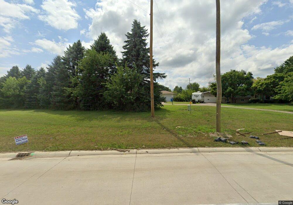
10500 Us Highway 127 Addison, MI 49220
Estimated Value: $175,882 - $245,000
3
Beds
2
Baths
1,555
Sq Ft
$135/Sq Ft
Est. Value
About This Home
This home is located at 10500 Us Highway 127, Addison, MI 49220 and is currently estimated at $209,721, approximately $134 per square foot. 10500 Us Highway 127 is a home located in Lenawee County with nearby schools including Addison Elementary School, Addison Middle School, and Addison High School.
Ownership History
Date
Name
Owned For
Owner Type
Purchase Details
Closed on
Sep 30, 2021
Sold by
James Terry L and James Bitty
Bought by
Aungst Ashley N
Current Estimated Value
Purchase Details
Closed on
Jun 26, 2012
Sold by
Fannie Mae
Bought by
James Terry L
Home Financials for this Owner
Home Financials are based on the most recent Mortgage that was taken out on this home.
Original Mortgage
$63,822
Interest Rate
3.77%
Mortgage Type
FHA
Purchase Details
Closed on
Apr 11, 2011
Sold by
Bac Home Loans Servicing L P
Bought by
Fannie Mae
Purchase Details
Closed on
Oct 7, 2010
Sold by
Dehart Joshua and Dehart Amanda
Bought by
Bac Home Loans Servicing L P
Create a Home Valuation Report for This Property
The Home Valuation Report is an in-depth analysis detailing your home's value as well as a comparison with similar homes in the area
Home Values in the Area
Average Home Value in this Area
Purchase History
| Date | Buyer | Sale Price | Title Company |
|---|---|---|---|
| Aungst Ashley N | $175,000 | None Available | |
| James Terry L | $68,000 | None Available | |
| Fannie Mae | -- | None Available | |
| Bac Home Loans Servicing L P | $56,000 | None Available |
Source: Public Records
Mortgage History
| Date | Status | Borrower | Loan Amount |
|---|---|---|---|
| Previous Owner | James Terry L | $63,822 |
Source: Public Records
Tax History Compared to Growth
Tax History
| Year | Tax Paid | Tax Assessment Tax Assessment Total Assessment is a certain percentage of the fair market value that is determined by local assessors to be the total taxable value of land and additions on the property. | Land | Improvement |
|---|---|---|---|---|
| 2025 | $2,012 | $99,000 | $0 | $0 |
| 2024 | $931 | $93,400 | $0 | $0 |
| 2023 | -- | $82,000 | $0 | $0 |
| 2022 | $1,723 | $74,100 | $0 | $0 |
| 2021 | $1,533 | $73,100 | $0 | $0 |
| 2020 | $1,495 | $59,200 | $0 | $0 |
| 2019 | $318,694 | $59,200 | $0 | $0 |
| 2018 | $2,787 | $81,753 | $0 | $0 |
| 2017 | $2,671 | $82,566 | $0 | $0 |
| 2016 | $2,664 | $81,560 | $0 | $0 |
| 2014 | -- | $76,643 | $0 | $0 |
Source: Public Records
Map
Nearby Homes
- 17475 U S 223
- 9010 U S 127
- 14581 Glenbeigh Ln
- 14429 Kildare Ln
- 14408 Kildare Ln
- 14378 Kildare Ln
- V/L E Chicago Rd
- 14391 Killybegs Ln
- 14601 Brookhurst Dr
- 13778 Shannon Dr
- 14750 Hilltop Dr
- 10400 Ferris Ct
- 13912 Grandpoint Dr
- 19900 Lewis Rd
- 506 Lewis Rd
- 13832 Grandview Dr
- 8484 N Rollin Hwy
- 10911 Woodbrook Dr
- 10568 Woodbrook Dr
- 10421 E Greenlawn Dr
- 10490 Us Highway 127
- 18297 Us 127
- 10480 Us Highway 127
- 17941 Us Highway 223
- 17000 U S 223
- 10302 Briggs Hwy
- 10305 Briggs Hwy
- 17575 U S 223
- 10100 Us Highway 127
- 17880 Us Highway 223
- 17880 Us Highway 223
- 10301 Us Highway 127
- 18297 Us Highway 127
- 10293 Us Highway 127 Unit 127
- 10293 Us Highway 127
- 10293 Us Highway 127
- 10293 Us Highway 127 Unit 127
- 10500 Briggs Hwy
- 10150 Briggs Hwy
- 18297 U S 127
