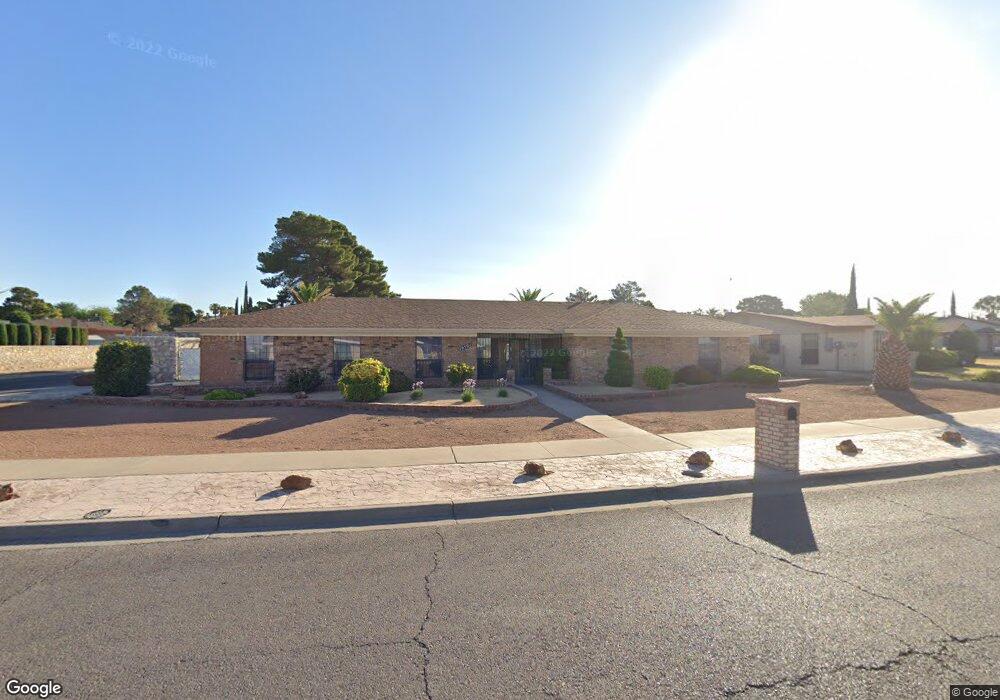
10501 Ashridge Dr Unit House El Paso, TX 79925
Travis White NeighborhoodEstimated Value: $284,000 - $384,297
4
Beds
2
Baths
2,328
Sq Ft
$145/Sq Ft
Est. Value
About This Home
This home is located at 10501 Ashridge Dr Unit House, El Paso, TX 79925 and is currently estimated at $336,824, approximately $144 per square foot. 10501 Ashridge Dr Unit House is a home located in El Paso County with nearby schools including Eastwood Heights Elementary School, Eastwood High School, and St. Raphael School.
Ownership History
Date
Name
Owned For
Owner Type
Purchase Details
Closed on
Sep 30, 2002
Sold by
Otero Cecilia A and Rhymes Cecilia A
Bought by
Montoya Daniel
Current Estimated Value
Home Financials for this Owner
Home Financials are based on the most recent Mortgage that was taken out on this home.
Original Mortgage
$107,000
Outstanding Balance
$45,187
Interest Rate
6.26%
Estimated Equity
$291,637
Create a Home Valuation Report for This Property
The Home Valuation Report is an in-depth analysis detailing your home's value as well as a comparison with similar homes in the area
Home Values in the Area
Average Home Value in this Area
Purchase History
| Date | Buyer | Sale Price | Title Company |
|---|---|---|---|
| Montoya Daniel | -- | -- |
Source: Public Records
Mortgage History
| Date | Status | Borrower | Loan Amount |
|---|---|---|---|
| Open | Montoya Daniel | $107,000 |
Source: Public Records
Tax History Compared to Growth
Tax History
| Year | Tax Paid | Tax Assessment Tax Assessment Total Assessment is a certain percentage of the fair market value that is determined by local assessors to be the total taxable value of land and additions on the property. | Land | Improvement |
|---|---|---|---|---|
| 2025 | $5,723 | $315,255 | -- | -- |
| 2024 | $5,723 | $286,595 | -- | -- |
| 2023 | $5,386 | $260,541 | $0 | $0 |
| 2022 | $7,355 | $236,855 | $0 | $0 |
| 2021 | $6,999 | $257,170 | $35,903 | $221,267 |
| 2020 | $6,183 | $195,748 | $28,723 | $167,025 |
| 2018 | $5,993 | $192,713 | $28,723 | $163,990 |
| 2017 | $5,736 | $187,652 | $28,723 | $158,929 |
| 2016 | $5,736 | $187,652 | $28,723 | $158,929 |
| 2015 | $4,702 | $187,652 | $28,723 | $158,929 |
| 2014 | $4,702 | $191,687 | $28,723 | $162,964 |
Source: Public Records
Map
Nearby Homes
- 10481 Deepwood Ct
- 7936 Dogwood St
- 10617 Candlewood Ave
- 10412 Chinaberry Dr
- 7921 Candlewood Ave
- 10533 Springwood Dr
- 10463 Davwood Ln
- 10212 Garwood Ct
- 1207 Bois d Arc Dr
- 10844 Sombra Verde Dr
- 10233 Byway Dr
- 10313 Byway Dr
- 740 Draco Place
- 7922 Parral Dr
- 1909 Crow Dr
- 1649 Lomaland Dr
- 7832 Ranchland Dr
- 9801 Eastridge Dr
- 7761 Maverick Ave
- 7975 Esther Rd
- 10501 Ashridge Dr
- 10505 Ashridge Dr
- 1305 Hookridge Dr
- 1312 Lonewood Dr
- 10500 Ashridge Dr
- 1308 Lonewood Dr
- 10502 Ashridge Dr
- 10504 Ashridge Dr
- 1304 Lonewood Dr
- 1316 Lonewood Dr
- 1309 Hookridge Dr
- 1224 Trawood Dr
- 10508 Ashridge Dr
- 10513 Ashridge Dr
- 10500 Fernridge Ct
- 1300 Lonewood Dr
- 10519 Lakewood Ave
- 10523 Lakewood Ave
- 10515 Lakewood Ave
- 1313 Hookridge Dr