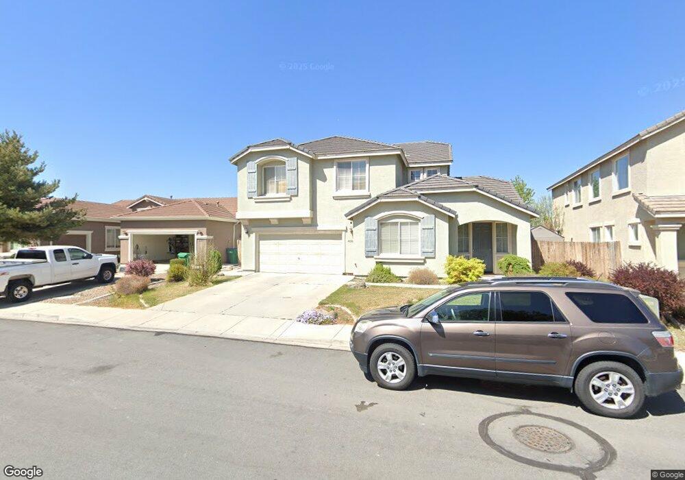
10501 Blockade Dr Reno, NV 89521
Virginia Foothills NeighborhoodEstimated Value: $733,000 - $785,000
4
Beds
2
Baths
2,481
Sq Ft
$302/Sq Ft
Est. Value
About This Home
This home is located at 10501 Blockade Dr, Reno, NV 89521 and is currently estimated at $749,839, approximately $302 per square foot. 10501 Blockade Dr is a home located in Washoe County with nearby schools including Jwood Raw Elementary School, Kendyl Depoali Middle School, and Damonte Ranch High School.
Ownership History
Date
Name
Owned For
Owner Type
Purchase Details
Closed on
Apr 1, 2010
Sold by
Keen Casey W and Keen Chelsea J
Bought by
Villanueva Eduardo C and Villanueva Joana Y
Current Estimated Value
Home Financials for this Owner
Home Financials are based on the most recent Mortgage that was taken out on this home.
Original Mortgage
$254,375
Outstanding Balance
$173,565
Interest Rate
5.5%
Mortgage Type
FHA
Estimated Equity
$576,274
Purchase Details
Closed on
Jun 23, 2004
Sold by
Reynen & Bardis Damonte Llc
Bought by
Keen Casey W and Keen Chelsea J
Home Financials for this Owner
Home Financials are based on the most recent Mortgage that was taken out on this home.
Original Mortgage
$273,000
Interest Rate
5.62%
Mortgage Type
Unknown
Create a Home Valuation Report for This Property
The Home Valuation Report is an in-depth analysis detailing your home's value as well as a comparison with similar homes in the area
Home Values in the Area
Average Home Value in this Area
Purchase History
| Date | Buyer | Sale Price | Title Company |
|---|---|---|---|
| Villanueva Eduardo C | $270,000 | First Centennial Reno | |
| Keen Casey W | $298,500 | First American Title |
Source: Public Records
Mortgage History
| Date | Status | Borrower | Loan Amount |
|---|---|---|---|
| Open | Villanueva Eduardo C | $254,375 | |
| Previous Owner | Keen Casey W | $273,000 |
Source: Public Records
Tax History Compared to Growth
Tax History
| Year | Tax Paid | Tax Assessment Tax Assessment Total Assessment is a certain percentage of the fair market value that is determined by local assessors to be the total taxable value of land and additions on the property. | Land | Improvement |
|---|---|---|---|---|
| 2025 | $3,671 | $153,852 | $44,800 | $109,052 |
| 2024 | $3,671 | $149,459 | $39,690 | $109,769 |
| 2023 | $3,565 | $150,202 | $46,235 | $103,967 |
| 2022 | $3,462 | $121,732 | $35,210 | $86,522 |
| 2021 | $3,361 | $115,673 | $29,715 | $85,958 |
| 2020 | $3,260 | $115,804 | $29,715 | $86,089 |
| 2019 | $3,165 | $111,700 | $27,300 | $84,400 |
| 2018 | $3,073 | $102,930 | $20,370 | $82,560 |
| 2017 | $2,983 | $102,091 | $19,390 | $82,701 |
| 2016 | $2,909 | $101,861 | $17,920 | $83,941 |
| 2015 | $2,903 | $98,237 | $14,385 | $83,852 |
| 2014 | $2,762 | $93,817 | $14,665 | $79,152 |
| 2013 | -- | $73,126 | $11,550 | $61,576 |
Source: Public Records
Map
Nearby Homes
- 10595 Baton Ct
- 10079 Cascade Falls Dr
- 2155 Eagle Greens Dr
- 10135 Burghley Ct
- 10630 Birch Point Ct
- 10735 Copper Lake Dr Unit 15A
- 2590 Spring Flower Dr
- 10650 Cedar Bend Ct
- 2240 Evergreen Park Dr
- 2520 Country Falls Ln Unit 15B
- 2415 Lincoln Meadows Dr
- 2610 Trail Rider Dr
- 2250 Trakehner Ln
- 2021 Wind Ranch Rd Unit C
- 2655 Fury Ct
- 2220 Arpagos Ln
- 10700 Summer Glen Dr
- 1932 Wind Ranch Rd Unit C
- 10110 Cavalry Cir
- 1920 Wind Ranch Rd Unit C
- 10505 Blockade Dr
- 10491 Blockade Dr
- 10511 Blockade Dr
- 10481 Blockade Dr
- 10490 Blockade Dr
- 10521 Blockade Dr
- 10510 Blockade Dr
- 10471 Blockade Dr
- 10480 Blockade Dr
- 10520 Blockade Dr
- 10470 Blockade Dr
- 10531 Blockade Dr
- 10461 Blockade Dr
- 2490 Baton Dr
- 2480 Baton Dr
- 2510 Baton Dr
- 10530 Blockade Dr
- 10451 Blockade Dr
- 10541 Blockade Dr
- 2470 Baton Dr